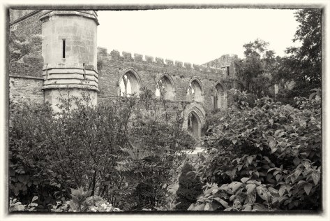
The gate swung open unbidden. The creaking of the hinges shattered the calm of the trees surrounding him, bringing him sharply to his senses.
Beyond the gate he could make out a building. The windows were shuttered, but he had a feeling that the house wasn’t empty, merely sleeping, waiting for the moment when someone would arrive to wake it from its reverie.
The lawns were tended, and he wanted to take a step forward, to get a better look at the garden, but immediately felt as if he would be trespassing, unwanted, into grounds that had been perfectly manicured by a gardener who had every intention of keeping them that way, no matter what happened.
To walk forward or to turn and run? Intruders were definitely not welcome here, and, without any shadow of a doubt, he would be intruding. But he also felt that it was too late. With the opening of that gate, the barrier had been broken and he was left with only one choice.
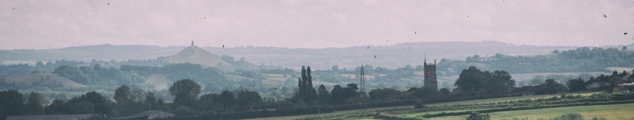
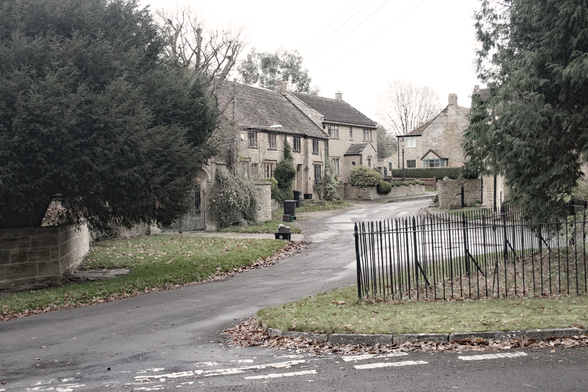
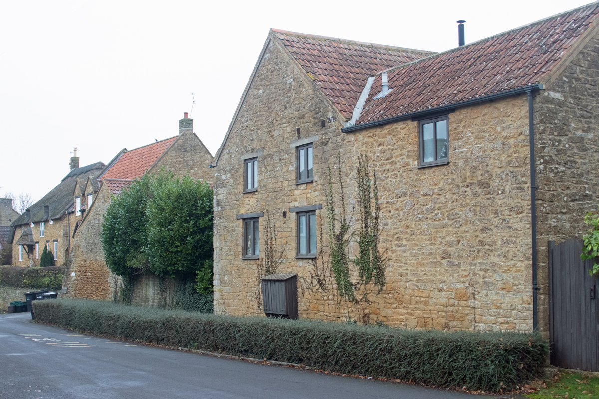
Just to the north west of Yeovil lies the quiet village of Tintinhull. The derivation of its name is steeped in mystery – ‘tin’ meant ‘fort’ in old English and ‘examine’ in Saxon, while ‘hull’ is an old term for ‘hill’. The village sits in the lea of Ham Hill, so a combination of elements seems likely.
Tintinhull has a population of just over a thousand people, and the manor dates back to pre-Norman times. The local Saxon tribes used to avoid siting their villages on the old Roman roads, so the village sits just away from the Fosse Way (now the A303).
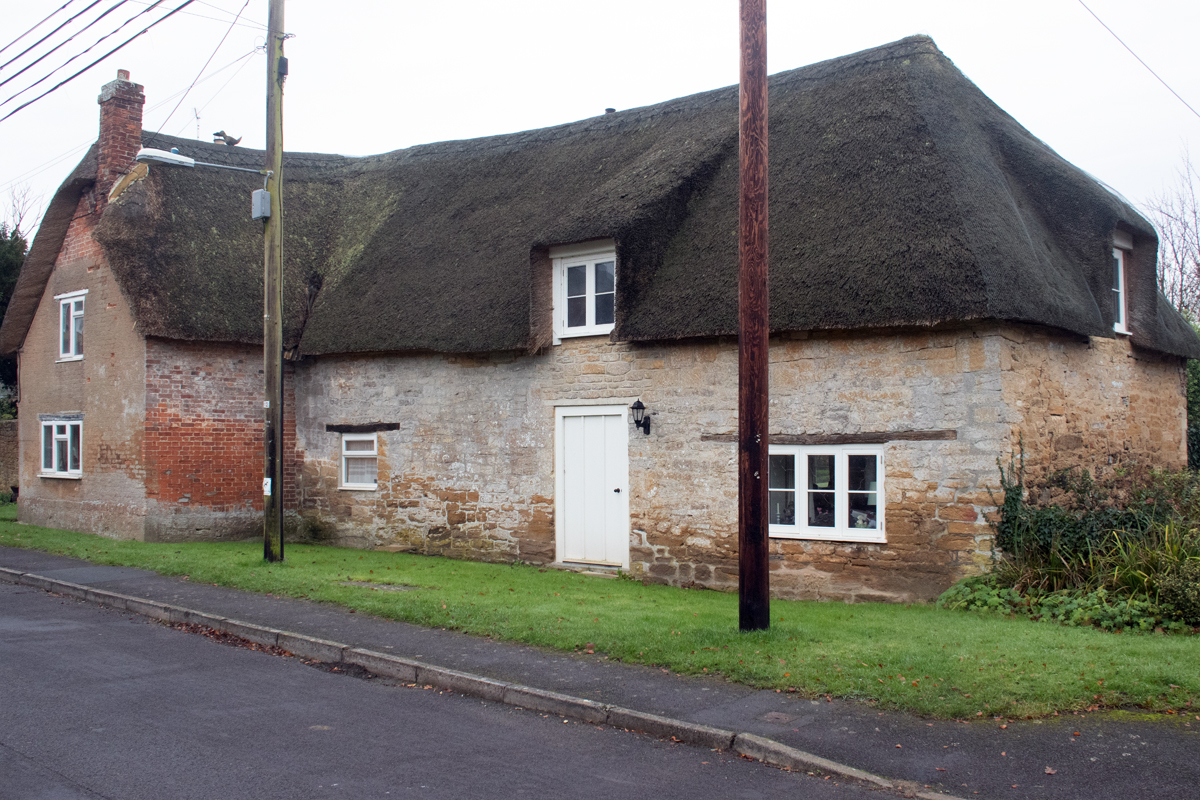
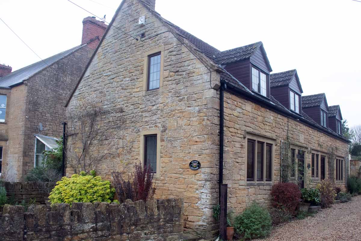
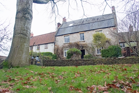
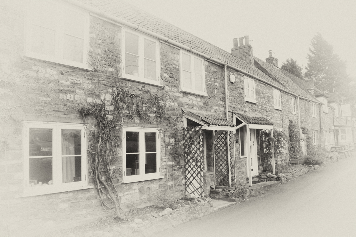
Most of the houses in the village are made from Ham stone – quarried from the local hill – and this gives a quaint, consistent feel to the place. A lot of the original cottages are thatched and, barring the telegraph poles and cars, Tintinhull has the typical chocolate-box feel you would expect of a West Country village.
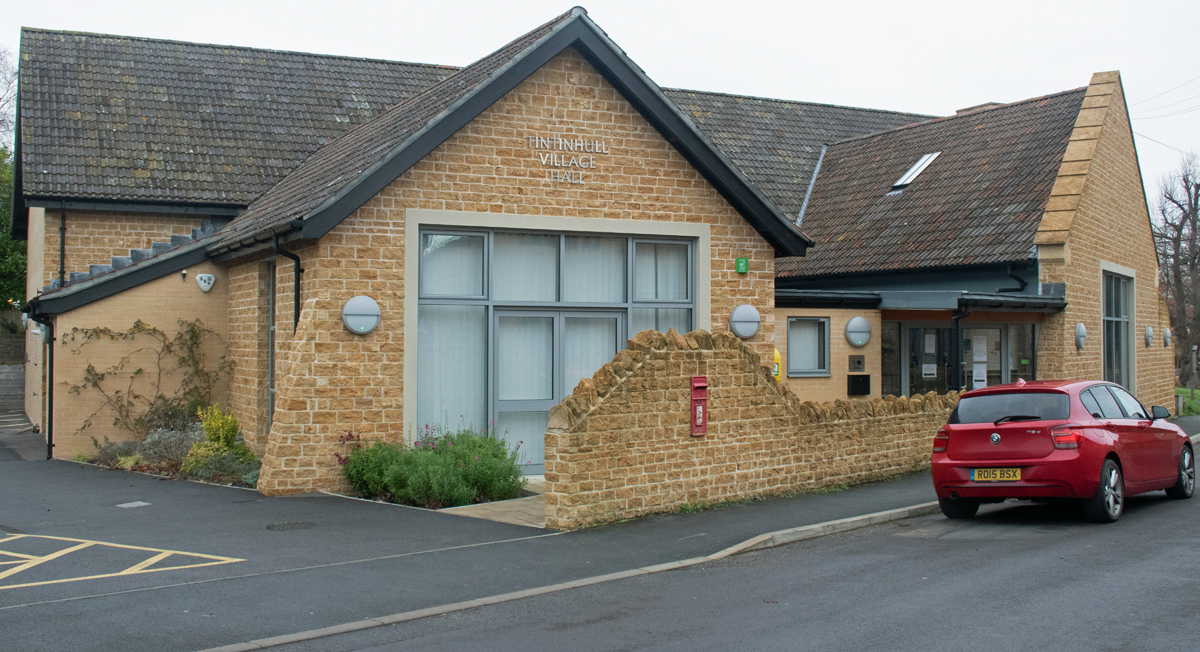
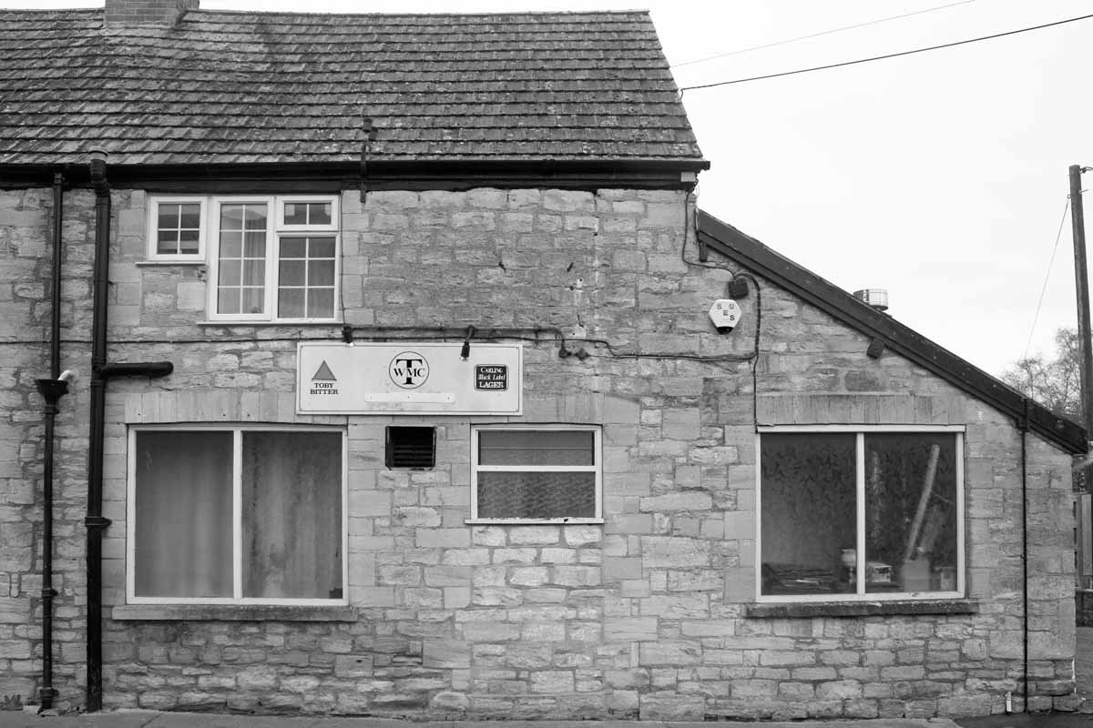
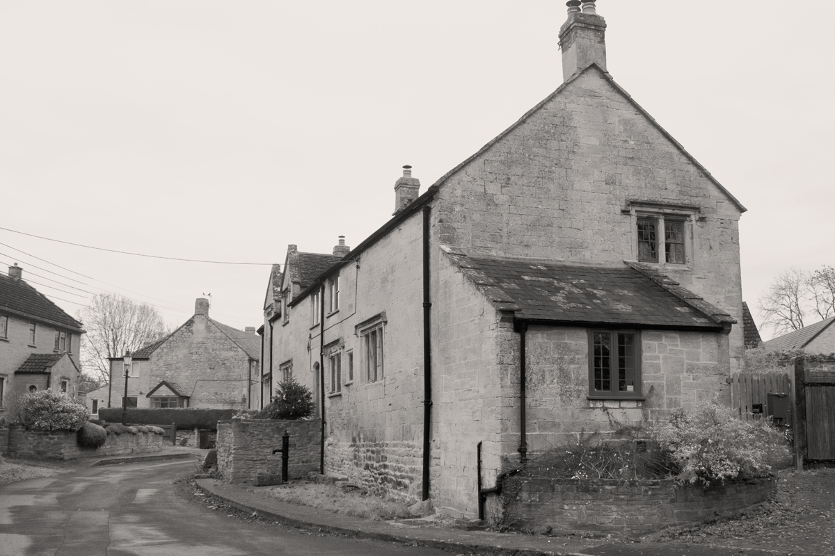
There is not an immediate heart to the Tintinhull – the village green is surrounded by cottages – but there are plenty of gathering places, both contemporary and historic.
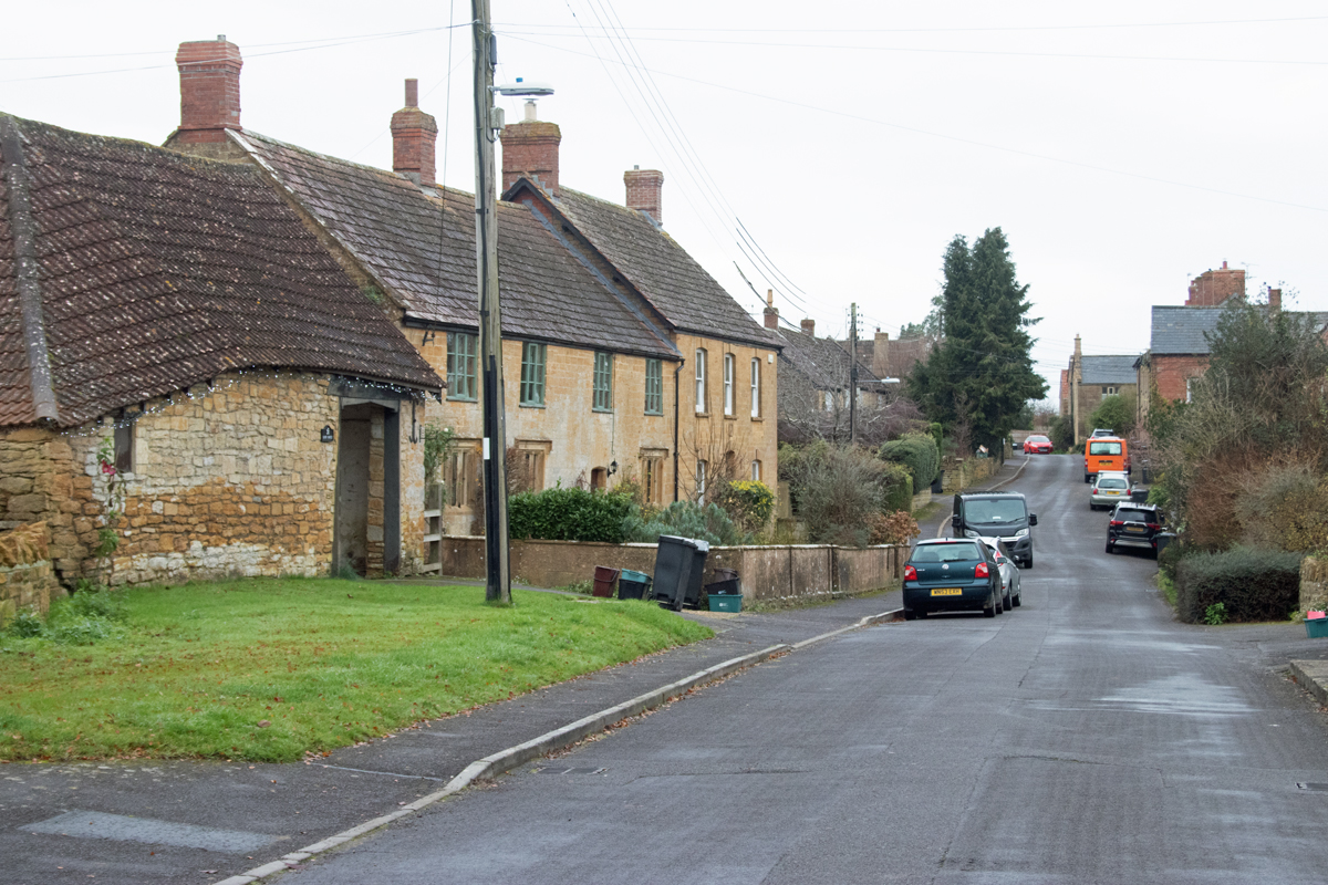
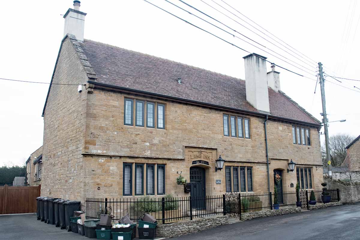
Opposite the new Village Hall, the old Lamb Inn has been tastefully converted to cottages and in the same stretch of road the old Working Men’s Club still bears the Toby Bitter advertising sign.
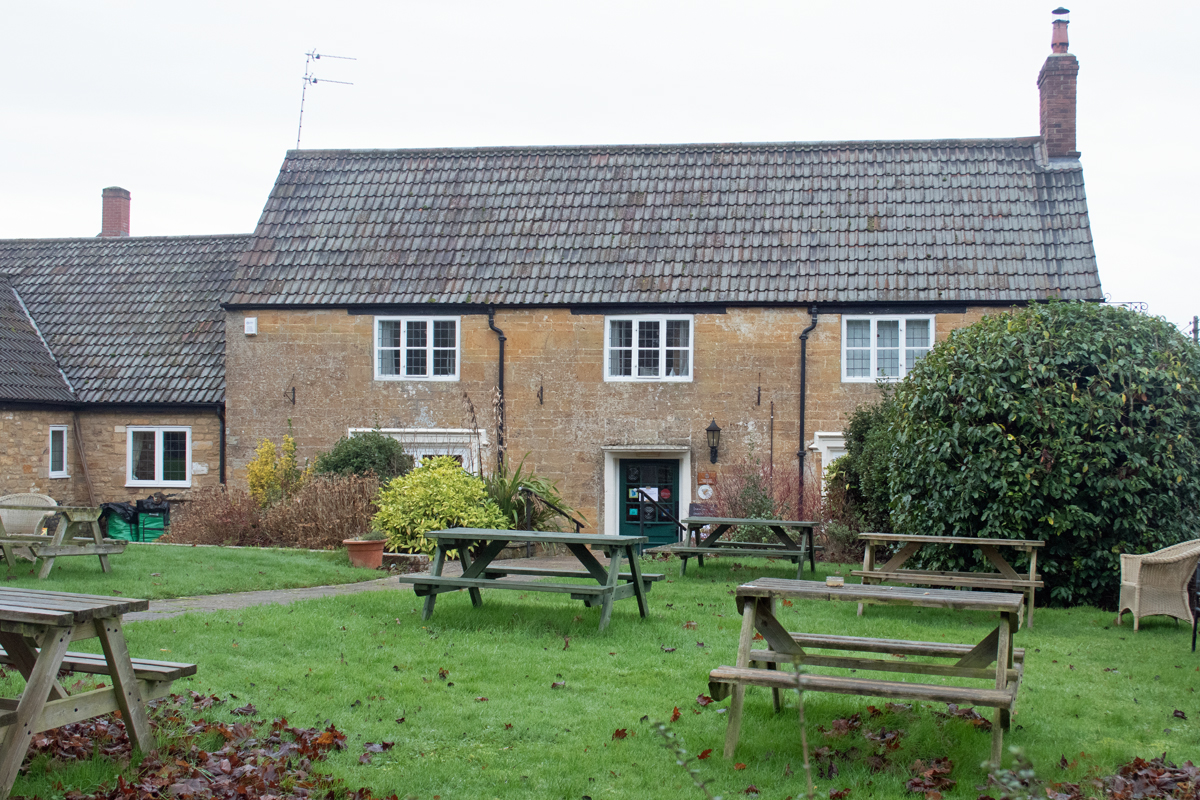
The remaining village pub – the Crown & Victoria – is set on the way to the manor house, and was obviously the stopping off point for farm workers ending their shift and returning home.
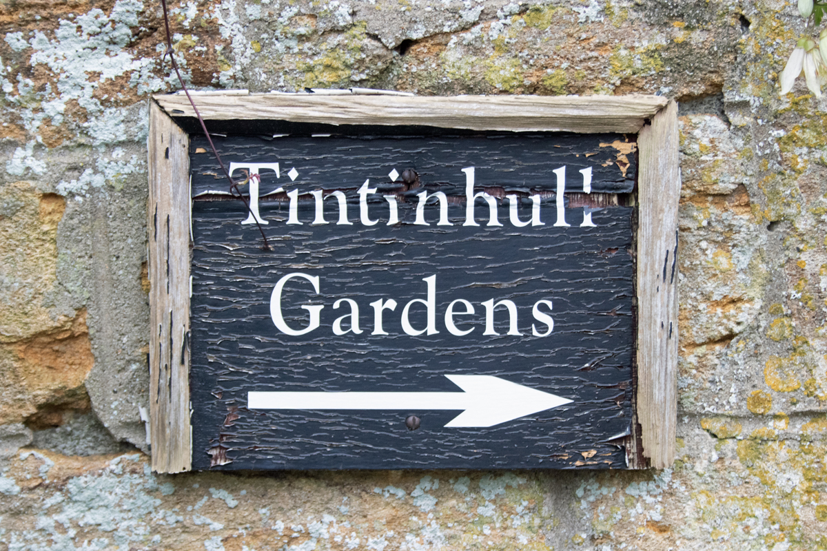
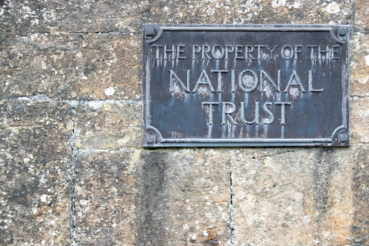
The manor house itself is now owned and run by the National Trust, and it is the connected Tintinhull Gardens that now draw people to this part of Somerset. (Sadly, due to the time of year and the restrictions imposed by the coronavirus pandemic, the gardens were not open at the time of visiting.)
Most of the villages I have visited on this alphabetical journey include the main elements of the manor house, a school, a gathering place and the church, and Tintinhull is no exception.
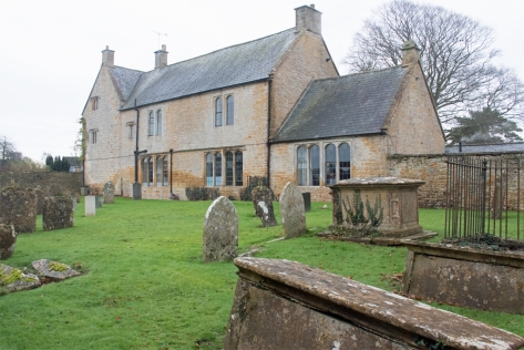
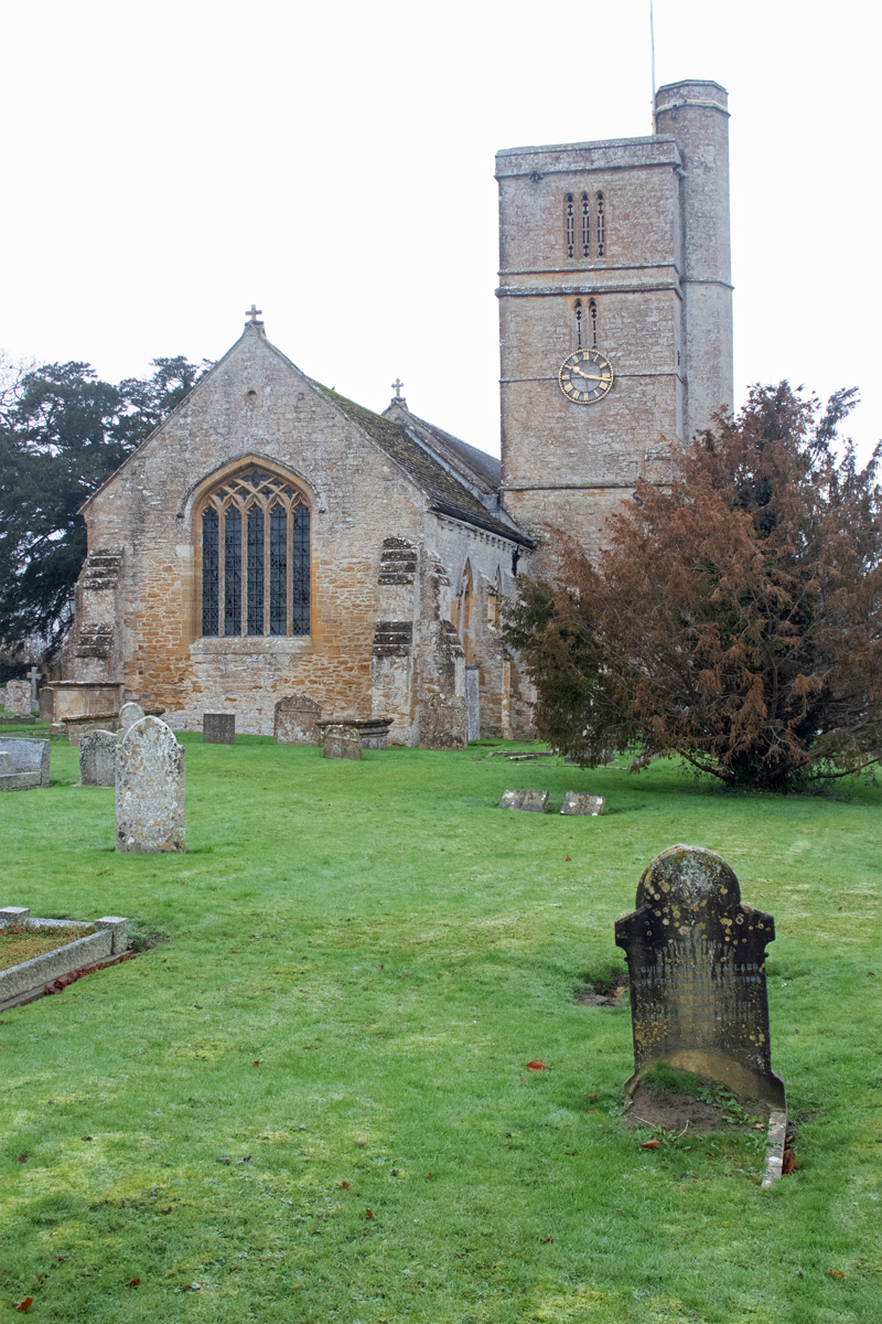
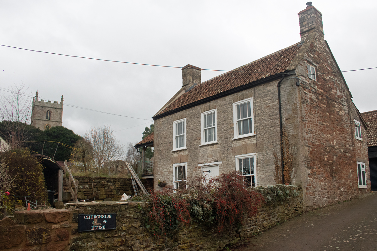
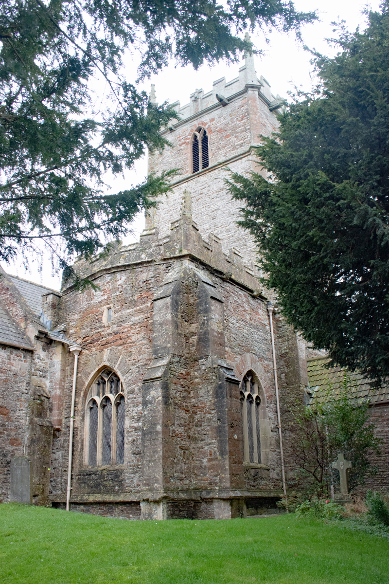
St Margaret’s Church sits away from the manor house – unusual, as they are normally intrinsically linked. As with most village churchyards, it is a peaceful place, somewhere to reflect and gather one’s thoughts.
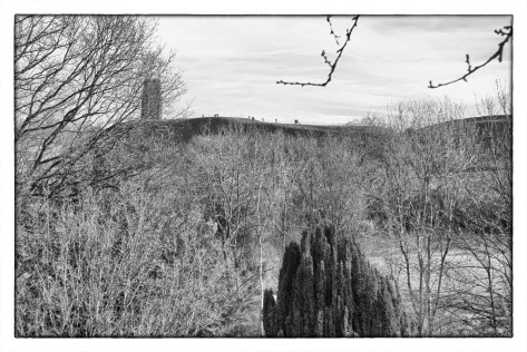
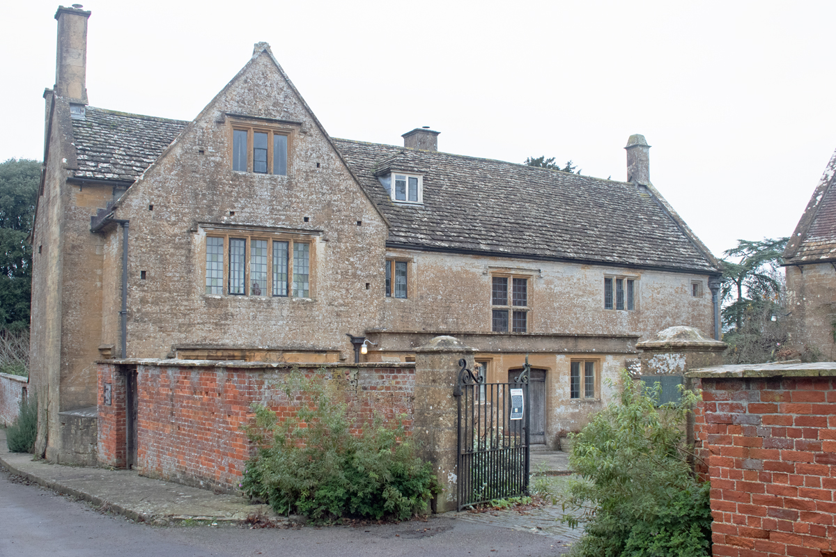
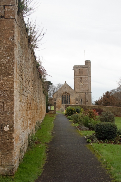
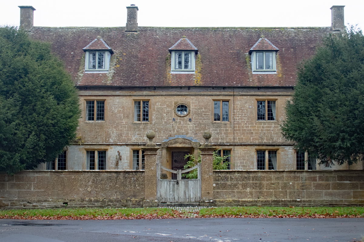
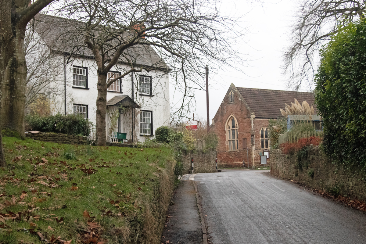
Approached by way of a long path, you feel a sense of great reverence as you walk towards St Margaret’s; this sensation is added to by the imposing wall on the left of the path, hiding a dramatic house behind it.
Once in the churchyard itself, the extent of the building behind the wall is revealed; this is Tintinhull Court, in its medieval glory.
Originally the parsonage, it was first built by the abbot of nearby Montacute Priory; remodelled three times since its original construction, it has been designated a Grade I building.
The history of Tintinhull Court begins to make more sense of the village layout; this was the original manor house and its owners built the church next door, with window overlooking the the graveyard and the parishioners walking towards their weekly sermon.
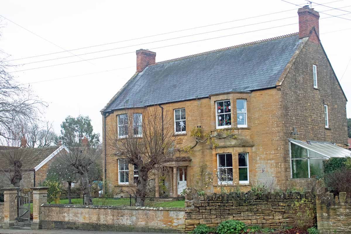
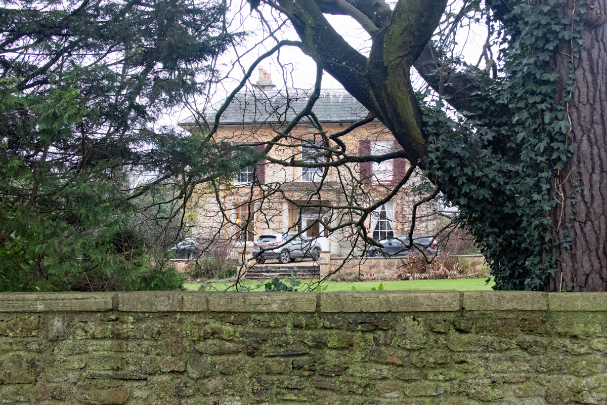
The resident Napper family built Tintinhull House – on the other side of the village – as a dower house in the seventeenth century; close enough that the Court’s widow was in walking distance, but far enough away for her not to disturb the ongoing matters of her heirs.
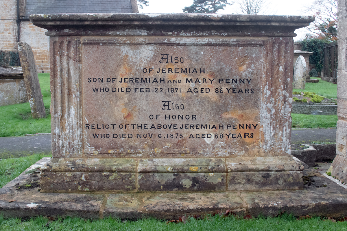
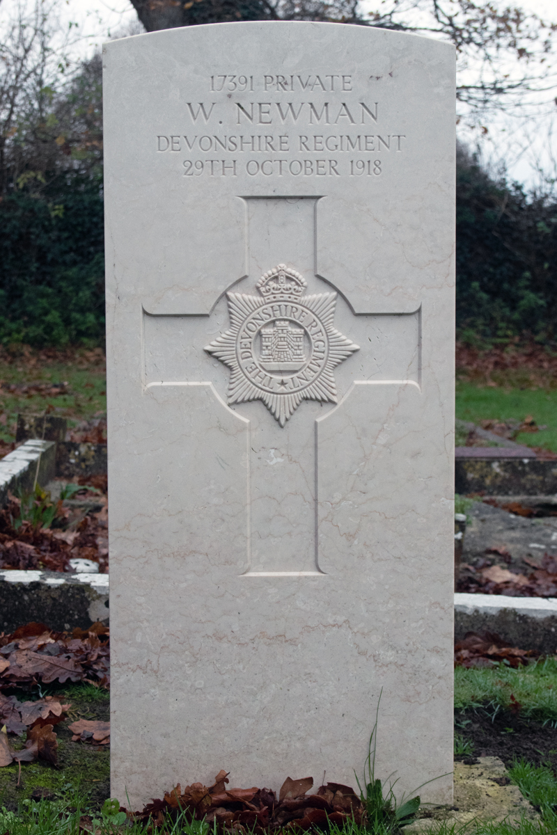
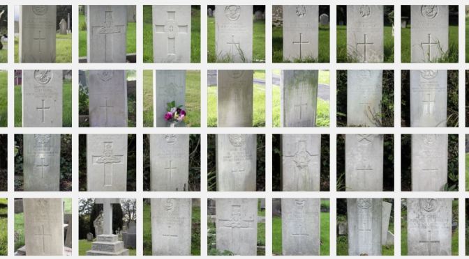
The graveyard also commemorates three residents who fell on home oil during the First World War.
Tintinhull has a long history, and economically it has survived well; primarily an agricultural community, the village has also been a focus for glove-making, dating back as far as the thirteenth century. By the late nineteenth century, much of the village’s employment came from the industry, and it continues today, although on a much reduced level.
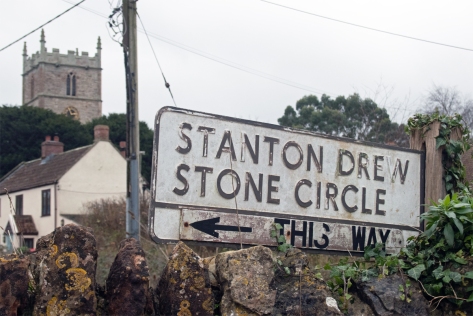
In the north of the county*, just eight miles from the centre of Bristol lies the quiet village of Stanton Drew. Nestled in the rolling hills of this part of the county, it is easily overlooked. (Avoid using your SatNav – you will end up encountering all sorts of twisty turny country roads!!)
Old enough as a village to have featured in the Domesday Book, it was listed as Stantone, from the Old English and Celtic words meaning “the stone enclosure with an oak tree”.
Drew came from the name of one of the former owners of the area, and was added to distinguish the place from neighbouring Stanton Wick and Stanton Prior.
Approaching from the north, the first hint of Stanton Drew comes from the sight of the unusual Round House. Originally a tollhouse, this quirky thatched building sets the tone for the other buildings in the village.
Over the narrow bridge, and you arrive at the village itself.
You very readily identify that this was once a place of great wealth. There are a number of large properties, and it is difficult to identify if there was ever just one manor house.
Stanton Drew gained its wealth from coal, and, at, as late as the 1950s, there were as many as three mines within the parish boundaries.
In fact, there is little evidence of any smaller housing; yes the land around the village is also good for agriculture, but there aren’t many traditional farming cottages to be found.
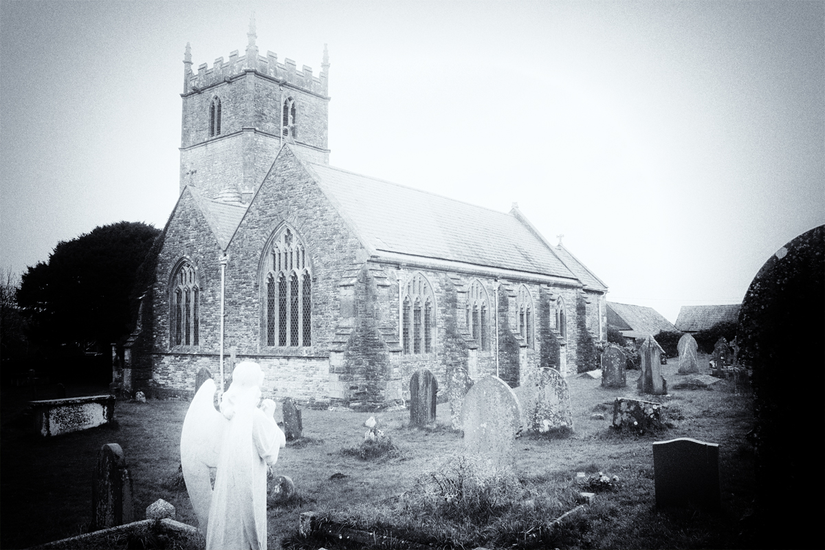
The main religious site is the church of the Blessed Virgin Mary, which dates to the 13th and 14th centuries.
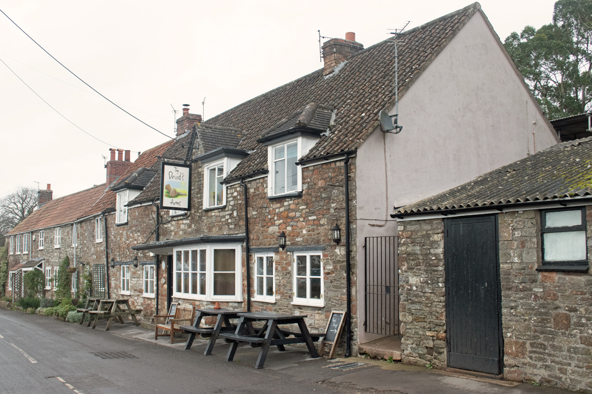
As befits a village of this stature, there is a school and village pub, but as you wander round Stanton Drew, you can’t help but get the feeling there there is something more about this place, something that you cannot quite put your finger on.
And oddly, it’s the garden of the village pub – The Druid’s Arms – that gives you the first hint.
For while Stanton Drew was first listed in the Domesday Book, its history significantly predates this writing from 1086.
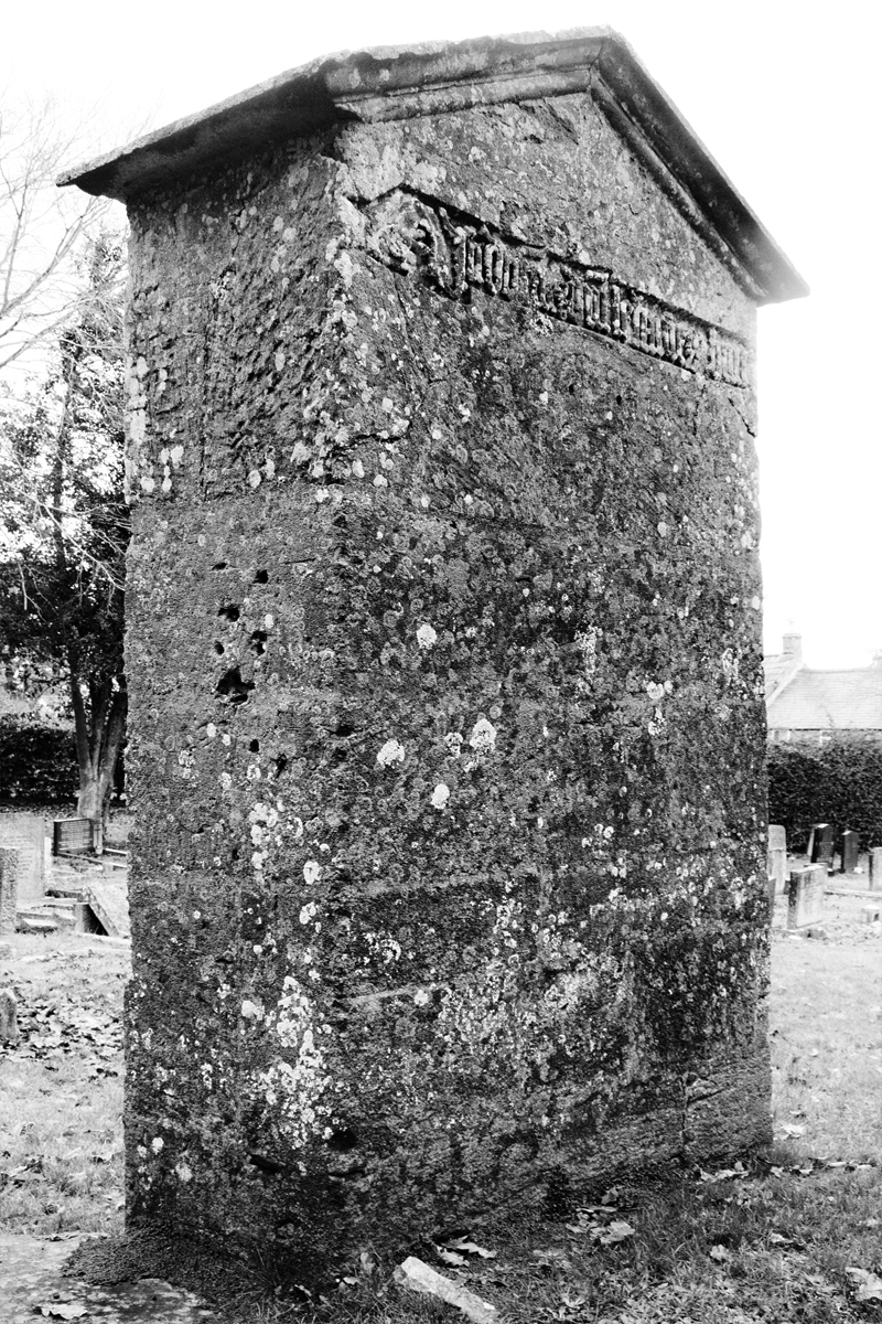
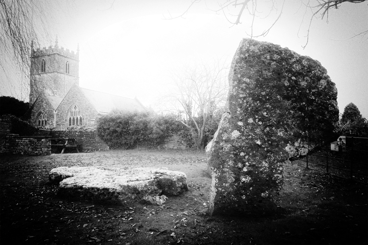
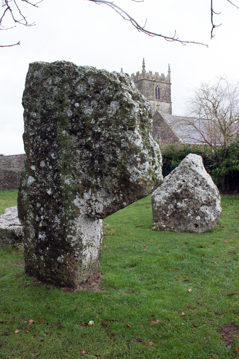
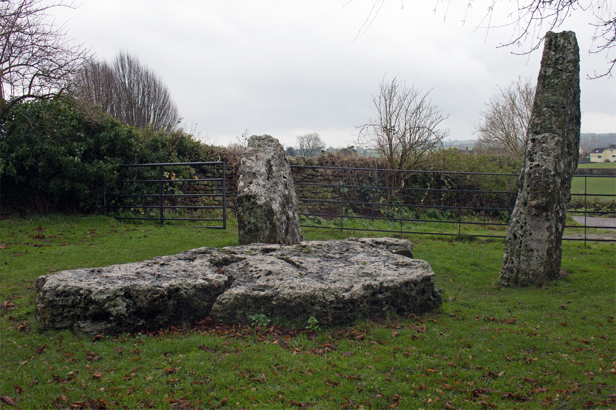
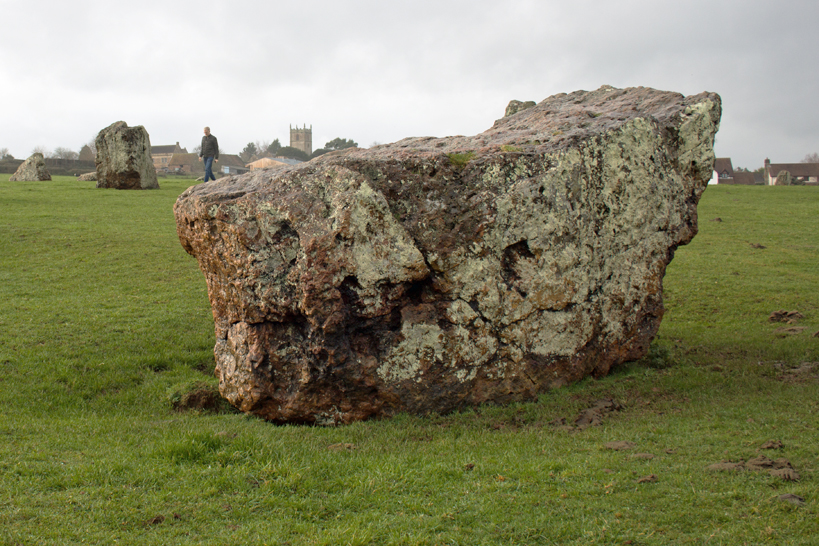
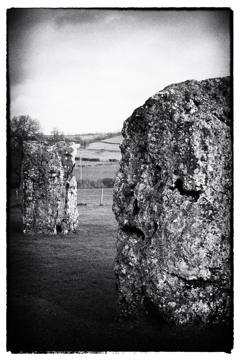
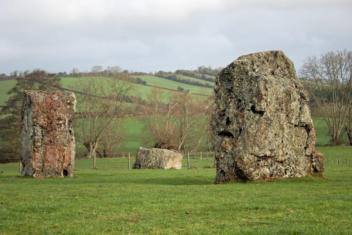
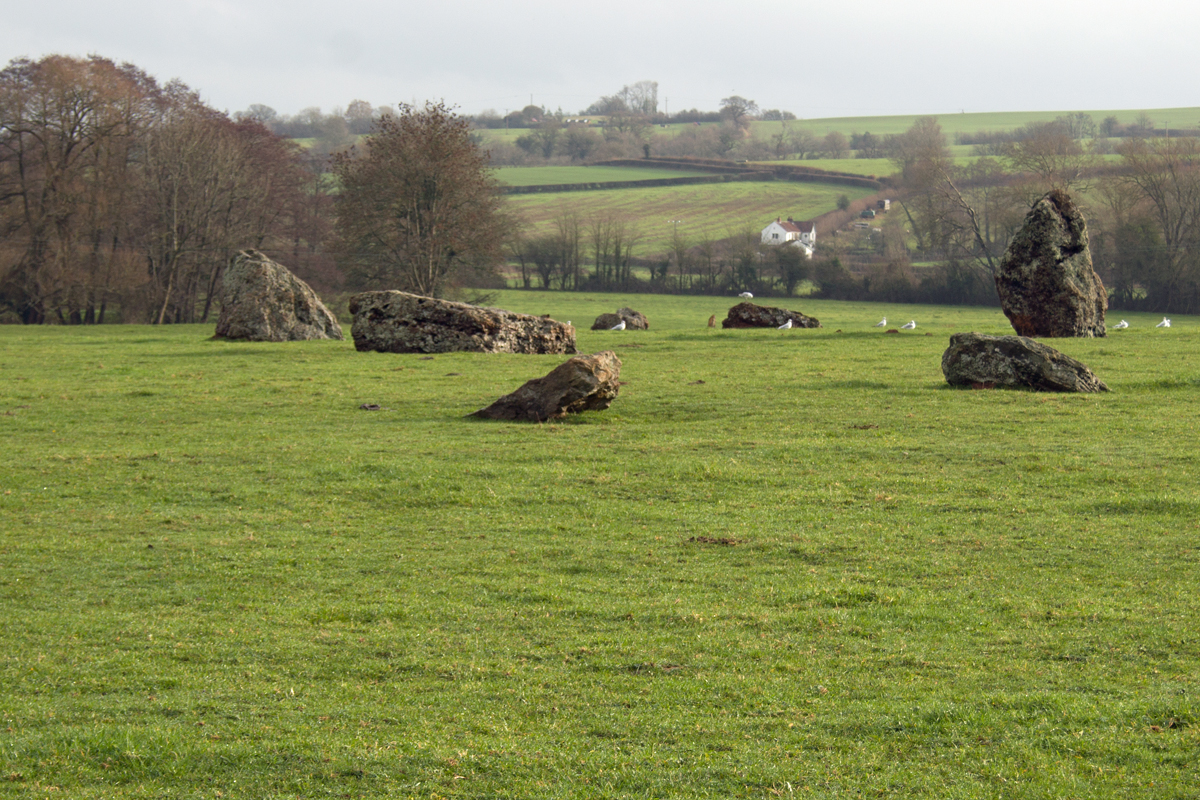
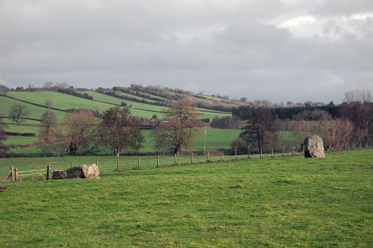
Three stones form a prehistoric enclosure, within site of the village church. They hint at the ceremonial activities which took place here around 4,500 years ago.
They are also said to be the relics of a parson, bride and bridegroom, turned to stone by the Devil because their wedding guests danced on a Sunday.
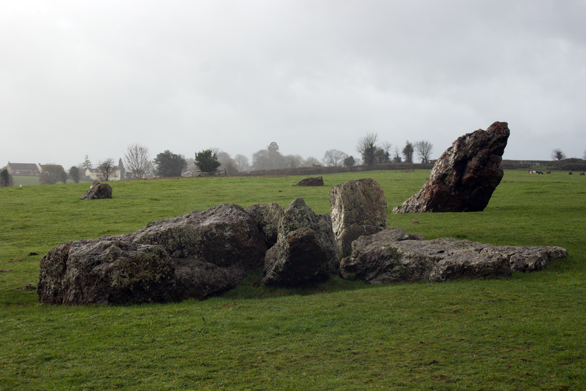
Behind the church as the most impressive element of Stanton Drew.
Three stone circles, up to 371 ft (113m) in diameter lie to the east and north of the village. Contemporary in date to the Neolithic site at Stonehenge, the Great Stanton Drew circle is, in fact, larger than its more well-known Wiltshire counterpart.
Only the stone circle at Avebury is bigger in size, meaning that the Stone Age circles of Stanton Drew are, in fact, the second largest Neolithic site in the United Kingdom.
Significantly less visited than either Avebury or Stonehenge, Stanton Drew is one of the country’s best kept prehistoric secrets.
Undoubtedly one of the places to visit in the county, there is plenty to admire in Stanton Drew, and, for history buffs and walkers alike, there is more than enough to see and do.
* While Stanton Drew lies in the Bath and North East Somerset Unitary Authority, is is still part of the ceremonial county of Somerset, and so is happily included as part of this A-Z wandering.