James Burnett was born in 1888, the second son of James and Sarah Ann Burnett. James Sr was a farm labourer, and his son quickly followed his line of work.
James enlisted in February 1916. He was noted as being 5ft 2ins (1.58m) tall, and weighed in at 7.5st (47.6kg).
His medical record notes that his sight was such that he should wear glasses constantly, and, in fact, he was signed off medically as Category B1 (“Free from serious organic diseases, able to stand service on Lines of Communication in France, or in garrisons in the tropics. Able to march 5 miles, see to shoot with glasses, and hear well.”)
After training, Private Burnett was mobilised in September 1916, but transferred to the Agricultural Company (of the Labour Corps) in the summer of 1917.
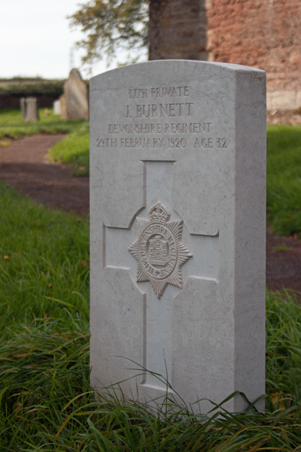
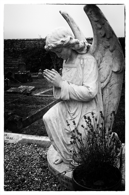
Sadly, however, I have been unable to locate any details of James’ passing. He died on 29th February 1920 and lies at rest in the churchyard of St Lawrence in his home village.
Richard Edwin Prout was born in 1896, the second son of Frederick and Anna (Hannah) Prout. When his father died in 1908, his mother remarried and by the 1911 census, Richard and his family had moved to Lydeard St Lawrence, where he was a baker’s boy.
He enlisted in June 1914, joining the Somerset Light Infantry and served throughout the war, receiving the Mons Star, Victory Medal and General Service Medals.
After the war, he continued in the army, and was assigned to Taunton Barracks.
His passing was unusual enough for it to be reported on in the local newspaper.
Sergt. Prout, it was stated at the Barracks yesterday, had been on leave for some days prior to his departure for Ireland, and had been spending his furlough at Crowcombe, where his parents live. On the evening of his death he left home, after taking a hearty meal, to catch the 7.25 train to Taunton. He had to walk a mile to Crowcombe station, most of the way uphill. Early the following morning his dead body was discovered lying face downwards by the roadside, about 50 yards from the station. The body was removed to his home, and Dr. Frossard, of Bishop’s Lydeard, was called in to make a post-mortem examination. The doctor has reported that death was due to asphyxia brought on by over exertion on a full stomach, and syncope, following pressure on the neck by the tightness of the collar of his outside jacket, the doctor adding that he had great difficulty in unfastening the collar.
Western Daily Press – Friday 20th February 1920
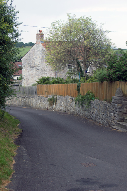
A genuine case of someone going before their time. Having visited Lydeard St Lawrence, I recognise the hill he would have had to have climbed to reach the station, and it’s steep enough in a car, let alone walking up it.
Sergeant Richard Edwin Prout, the newspaper reported, was generally esteemed by his fellow company, and at his funeral he received full military honours.
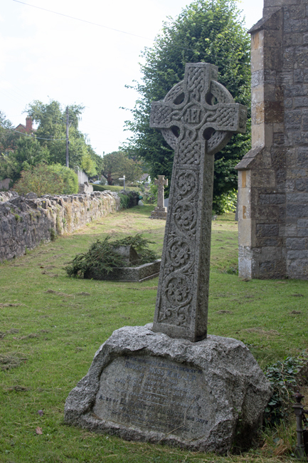
Richard Prout lies peacefully in the churchyard of Lydeard St Lawrence.
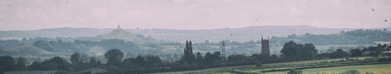
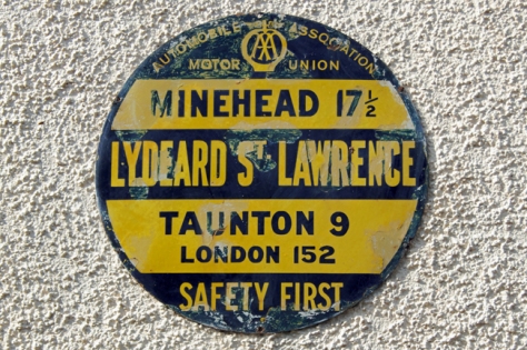
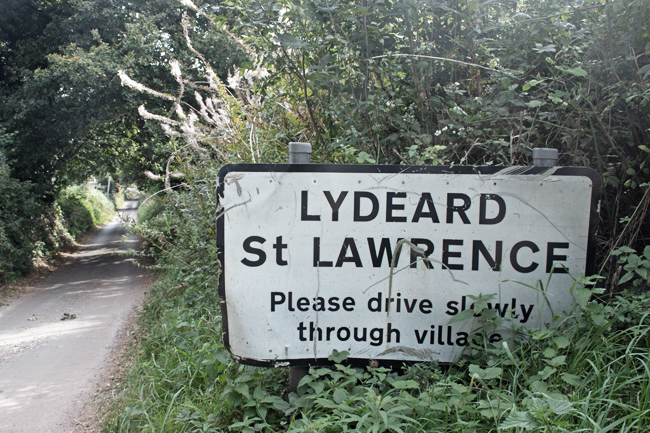
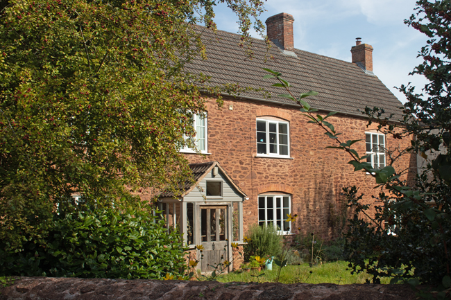
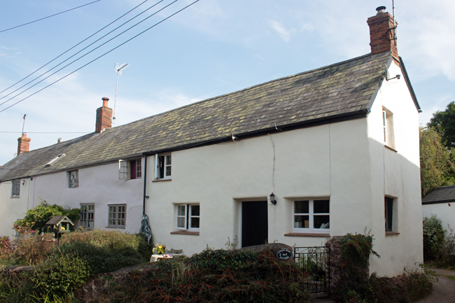
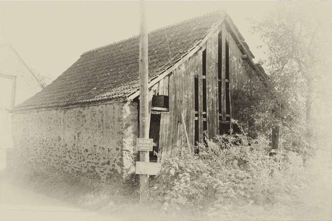
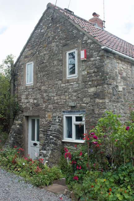
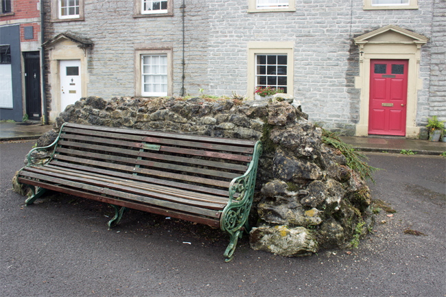
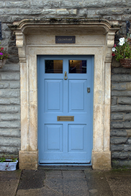
In the depths of western Somerset, along country roads your SatNav smirks at taking you down, lies the pretty village of Lydeard St Lawrence.
The origins of the name is shrouded in a bit of mystery, but Lydeard may translate as “grey ridge”, while St Lawrence is the saint to whom the local church is dedicated. (It is likely that St Lawrence was added to the villae name, to distinguish it from the village of Bishop’s Lydeard, just four miles down the road.)
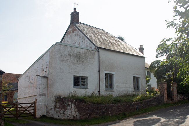
The village has a population of 500 people, and it is very easy to find yourself in open countryside within minutes of walking from the village centre.
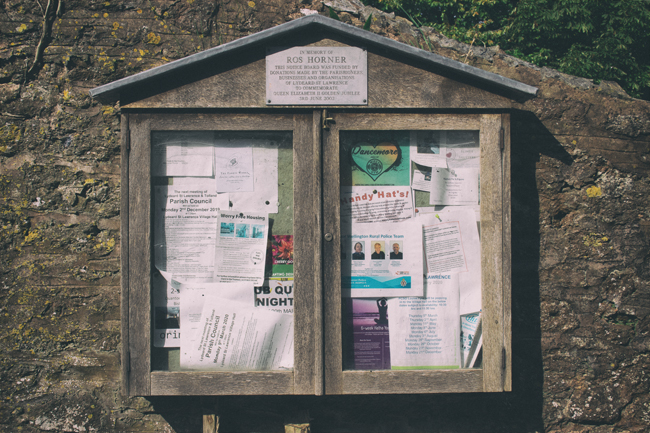
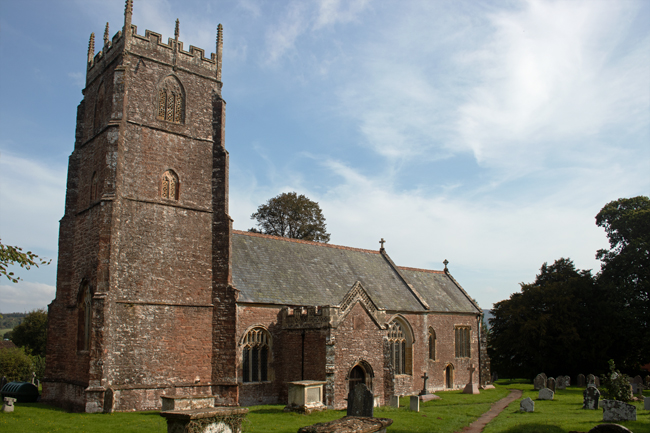
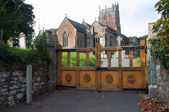
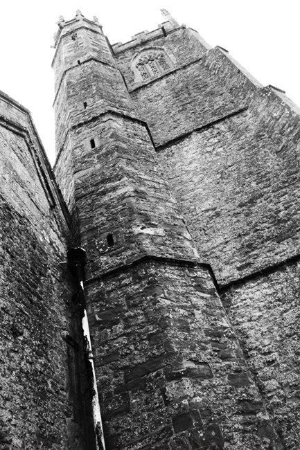
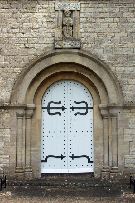
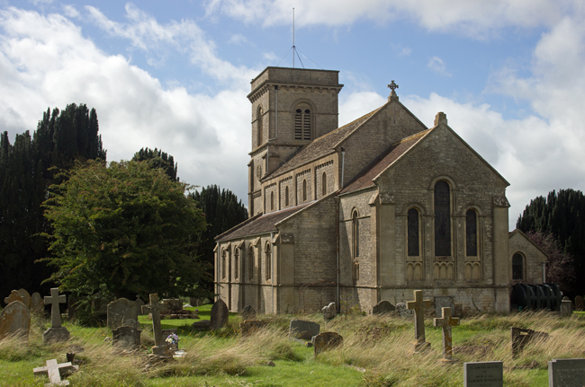
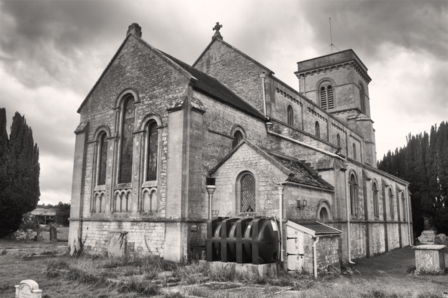
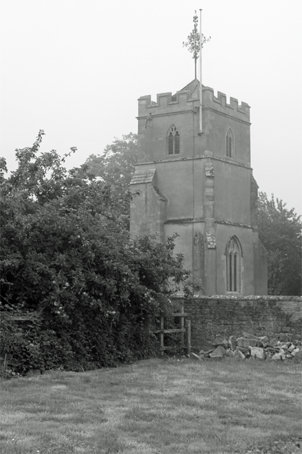
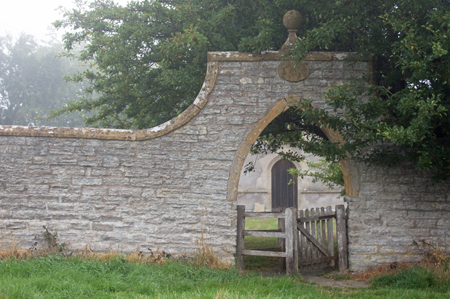
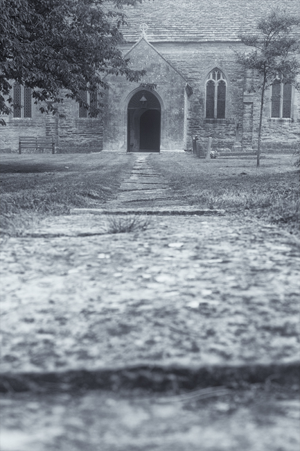
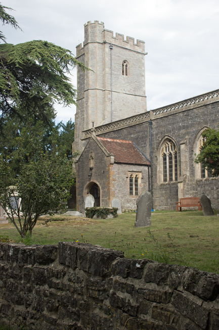
The Church of St Lawrence is at the top end of the village and, as with may similar religious locations, is a calm and peaceful place to stop and rest.
A plaque on the gate into the churchyard pays tribute to Lance Corporal Alan Kennington, who was serving in Northern Ireland in 1973 when he was shot and killed while on foot patrol on the Crumlin Road, Belfast. He was just 20 years old.
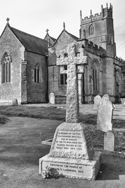
The church also forms the last resting place for a number of other local men who passed away in the Great War – I’ll expand on these in later posts.
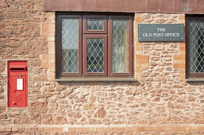
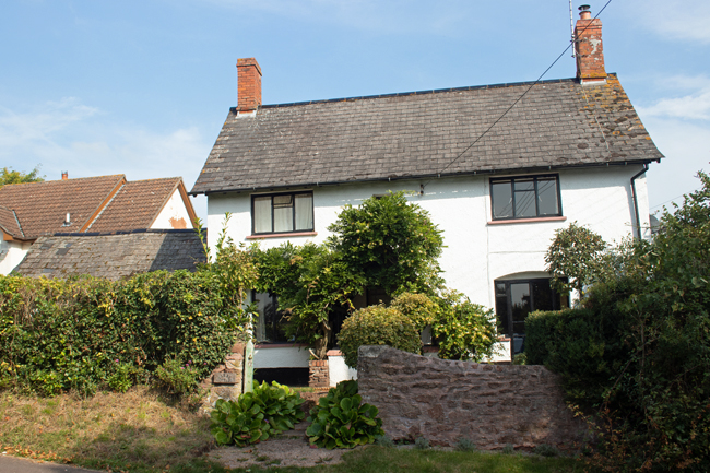
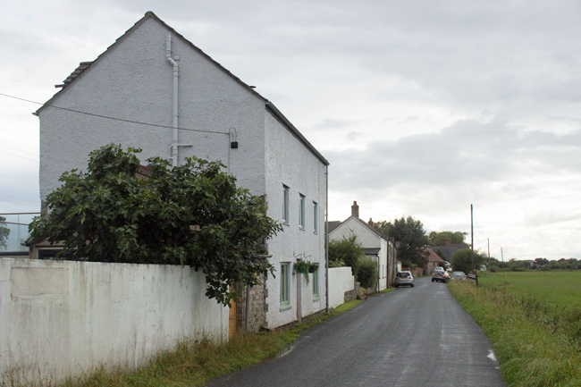
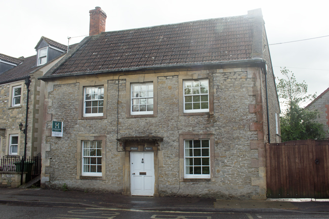
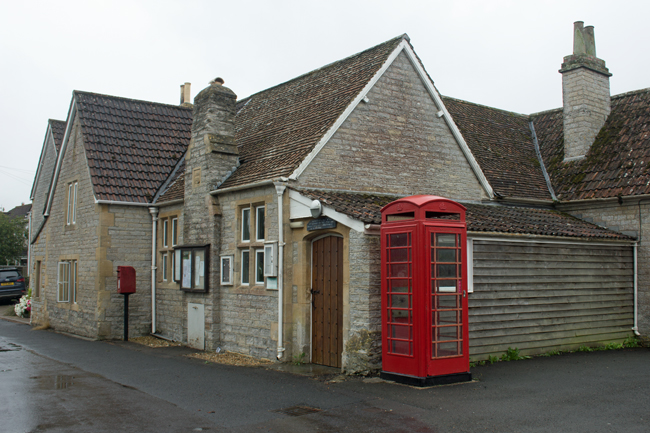
Lydeard St Lawrence, is certainly a peaceful village – on its own in the depths of the Somerset countryside and sheltered by the hills it is named after, it is somewhere to get away from it all. There are no immediate amenities – the post office has been closed long enough for the building to be converted into a house – but a village hall and school are there to support the community in all things secular.
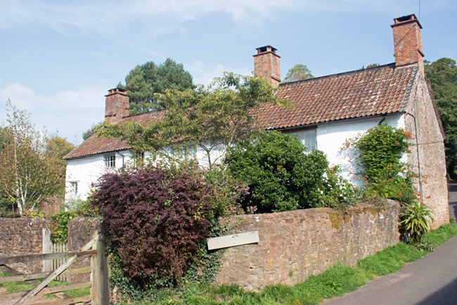
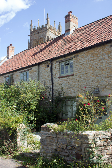
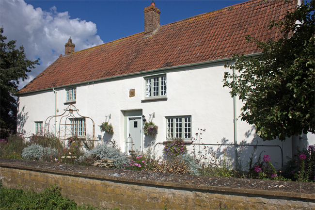
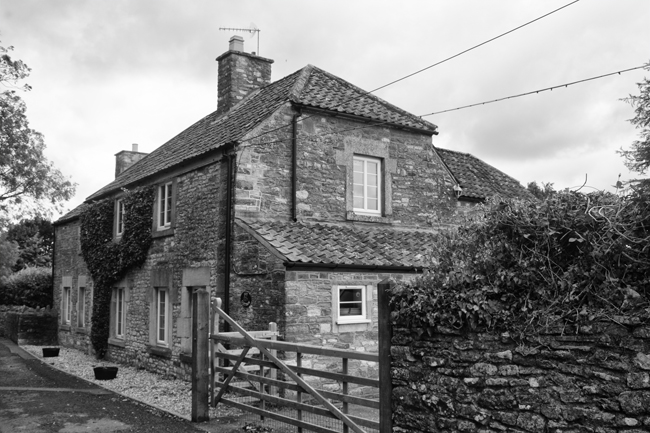
Tucked away deep in the countryside between Ilminster and Taunton is the picture perfect village of Isle Abbotts. Taking its name from the River Isle – which flows nearby – and Muchelney Abbey – whose lands it once sat on – Isle Abbotts is a tine village of little over 200 people.
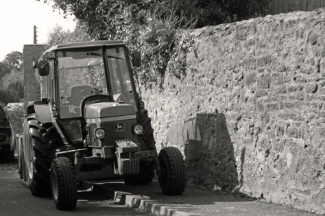
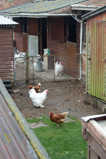
And tucked away it is! I know I’m still fairly new to the county, but the road from Ilminster is as countrified as you get. High hedges on both sides, a strip of grass down the middle of the tarmac, battling tractors, a dog, some chickens and a Tesco lorry, it took a while to get there, but the journey was worth it.
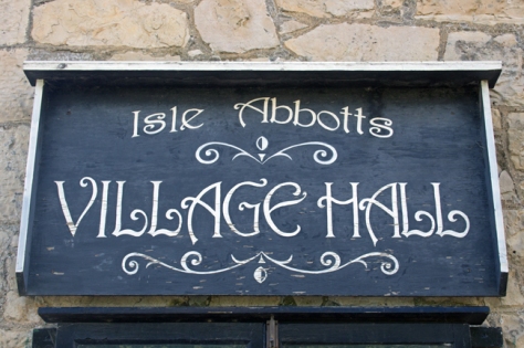
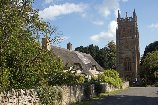
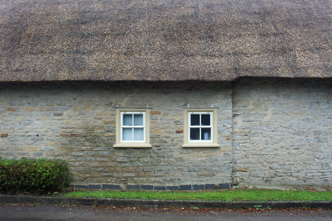
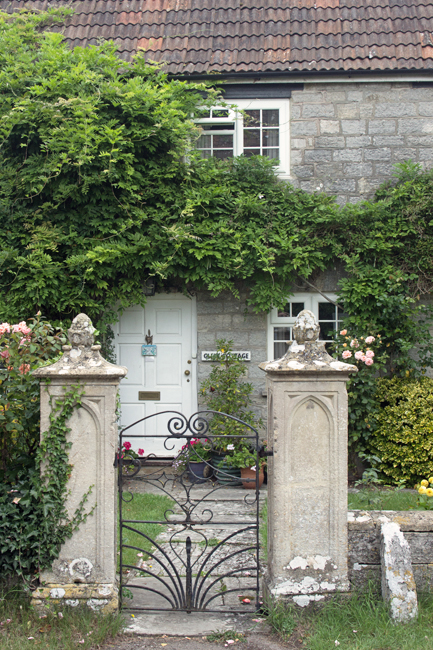
There is a very chocolate box feel to Isle Abbotts; thatched cottages, a green, well tended gardens and cute village hall, the place is the epitome of the English country village.
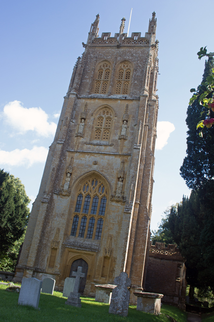
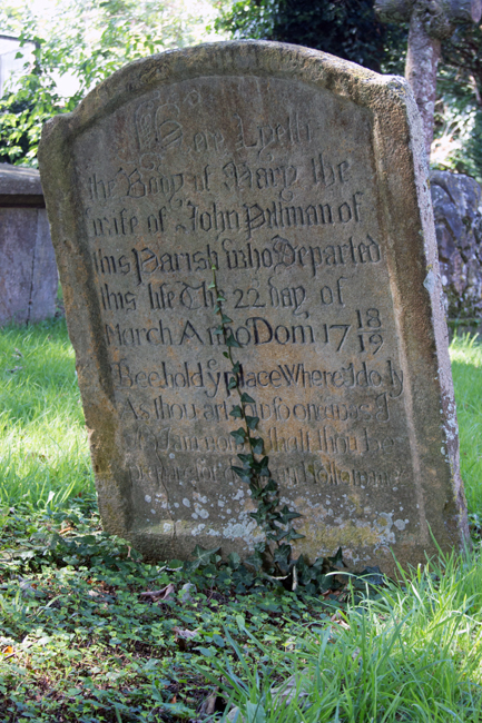
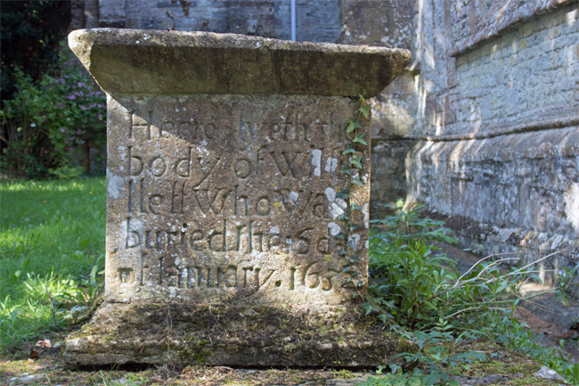
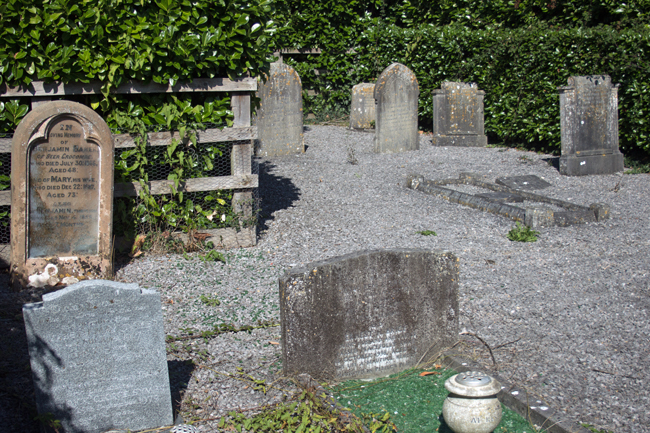
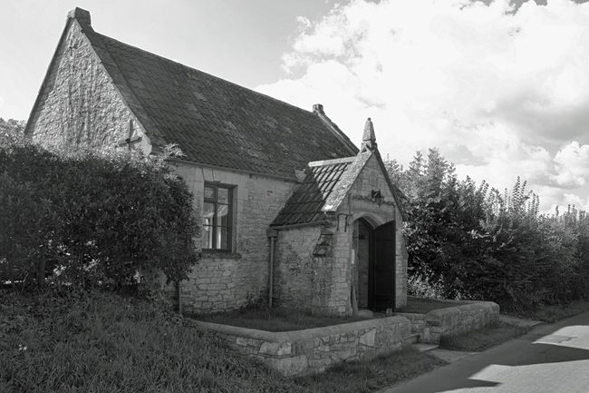
There are two churches – The Blessed Virgin Mary and a baptist chapel (now a house, but the graveyard remains) – and the former is the heart of the village, as it should be. The majority of the graves are old and ornate, reminding you that the church was funded by – and therefore the domain of – the local landowners.
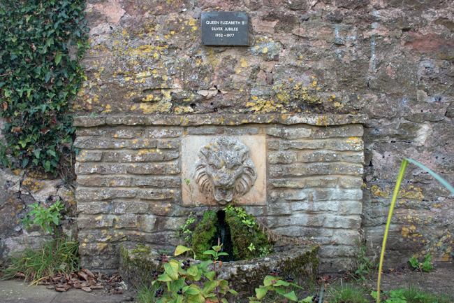
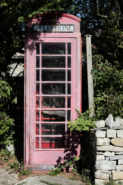
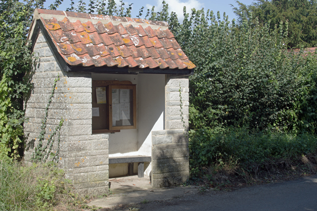
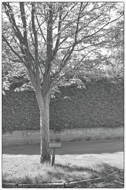
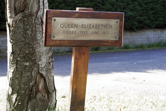
All the elements of a small community are there – a stone-built bus stop and information board, a hall with a stand for second-hand books, a sun-bleached telephone box, a tree planted to commemorate the Silver Jubilee in 1977.
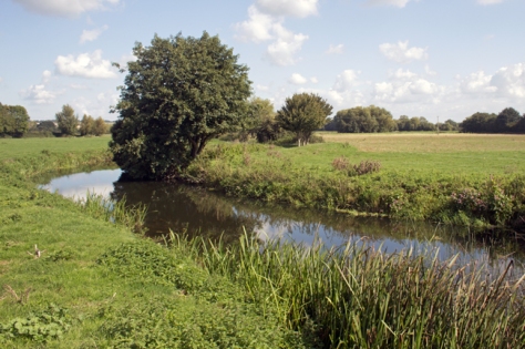
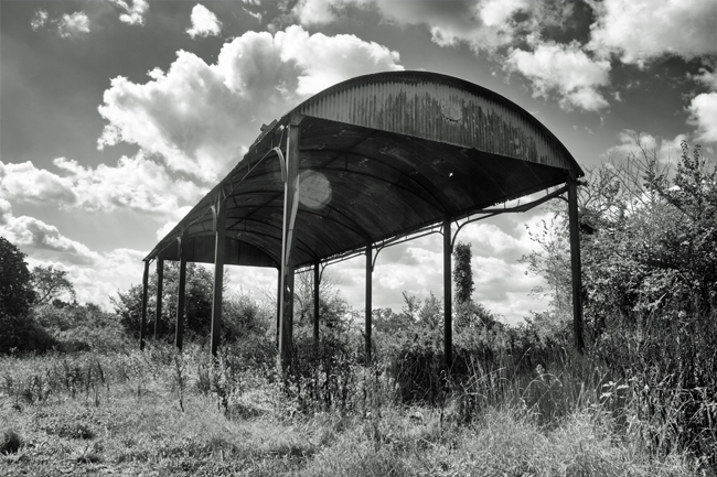
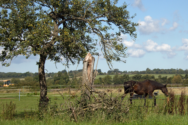
But the bigger reminder of the connection between Isle Abbotts and the countryside around it is the farmland.
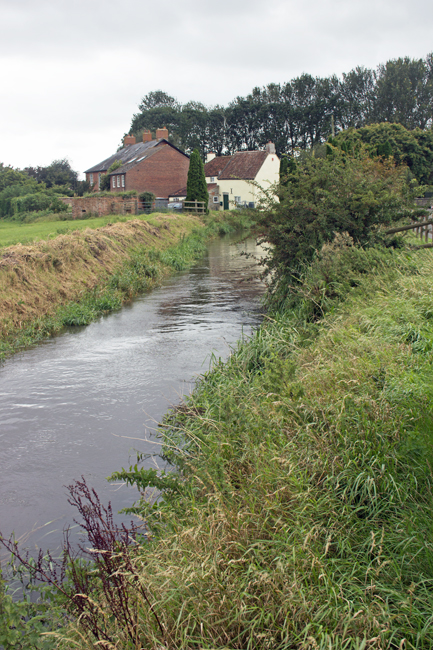
It is very easy to get right back into the countryside from the village centre, passing through farmland, you come to a bridge across the River Isle, from where a track passes to the neighbouring village of Isle Brewers.
(Smaller in population than Abbotts, Isle Brewers takes its name not from beer-making, but from the the family of William Briwere, lord of the manor in the 1200s.)
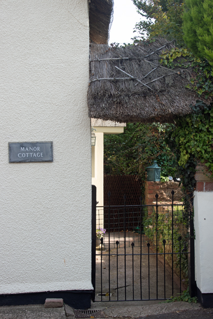
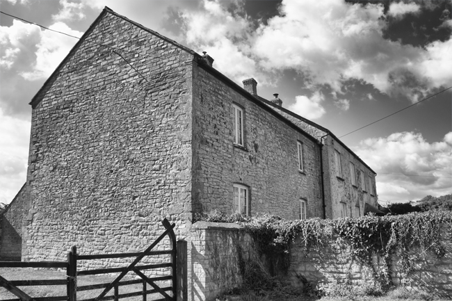
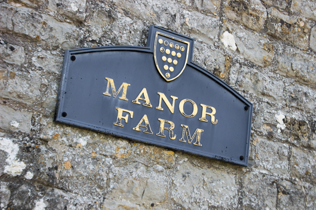
At this end of the village, the Manor Farm dominates the landscape, and you readily remember that this is what would have provided labour for the majority of the population in days gone by.
Quiet, isolated, but calm and peaceful, this is definitely a place that reminds you to get out in the sticks, get away from town and city life and enjoy the open air.
The next in the A-Z is one that potentially challenges what I am looking to achieve in a list of Somerset villages as it examines what actually constitutes a village.
In England, at least, you have hamlets, villages, towns and cities.
Hamlets have no central place of worship and no meeting point (for example a village hall).
Villages have one central place of worship and a meeting point.
Towns have more than one of each and will often have a charter to hold a weekly market; they will also have their own form of council.
Cities are larger conurbations with multiple places of worship and meeting points.
So, why bring this up now?
Well, the issue with the next place I have visited is that technically it is not a village.
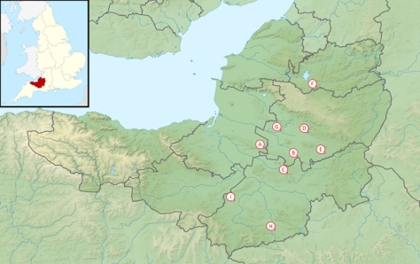
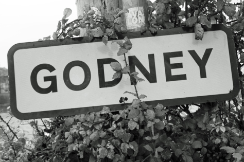
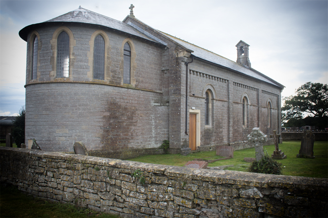
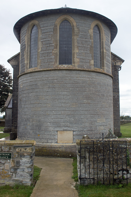
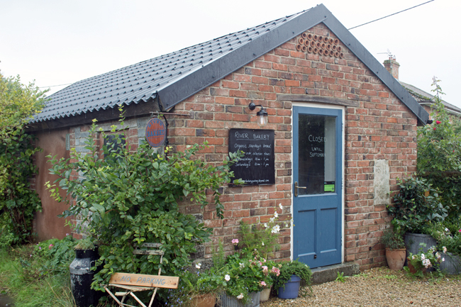
Godney has a handful of houses, a farm and a small church (Holy Trinity), but no meeting point.
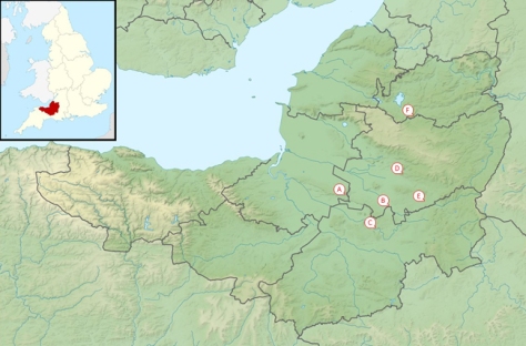
It lies just to the north of Glastonbury, on a small rise overlooking the River Sheppey.
Why am I including Godney in the A-Z, then? Well, on the other side of the river are two other hamlets – Upper Godney and Lower Godney – and between the three of them, they meet all of the requirements of a village.
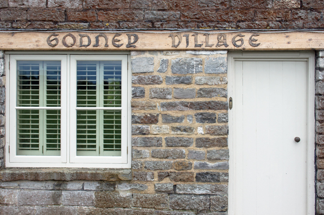
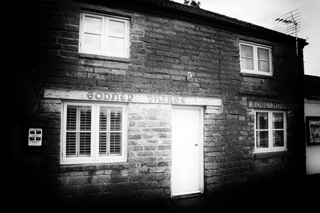
So, then, I am looking at The Godneys, not just Godney itself. (Okay, it’s a bit of a stretch, but they’re nice places!)
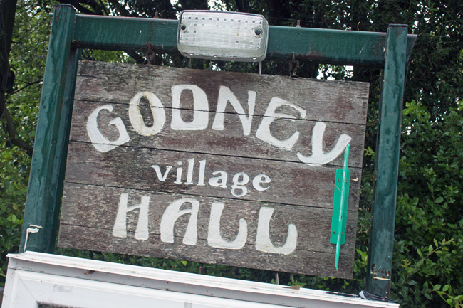
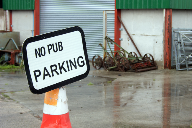
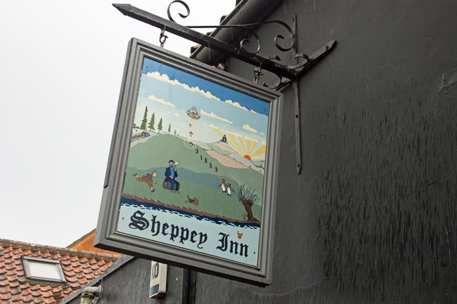
While Godney has the place of worship, Lower Godney has the meeting place. This is where the Village Hall is located, as well as the local pub, The Sheppey Inn (named after the river that runs behind it).
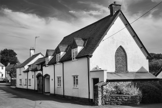
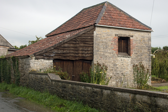
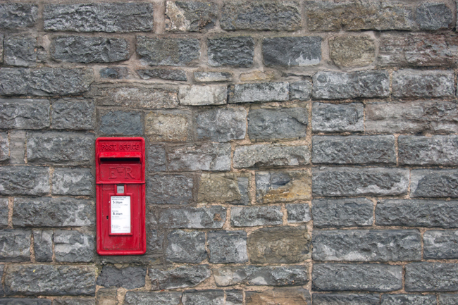
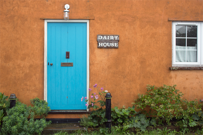
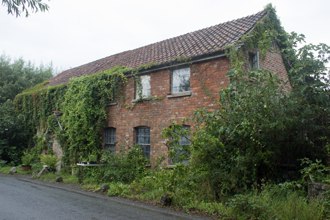
Upper Godney is today just a small stretch of houses, but it was once where the local school was located as well as the village post office. Both have now closed and are houses.
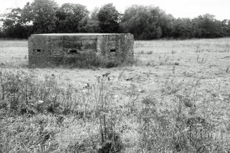
There are no war graves in Godney. However, like Dinder, it formed part of the war lines, and the landscape includes a number of pill boxes at either end.
The Godneys are surrounded by flat, drained marshland and the natural ditches formed the basis of tank defences during the Second World War. These were supplemented with a purpose-built anti-tank ditch around the village, while bridges in the area were prepared for demolition at short notice.
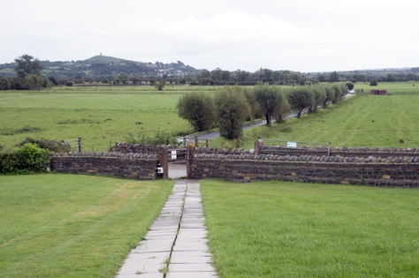
The Godneys are a great place for walking and cycling, particularly as the ground is so level. The views south to Glastonbury Tor and north to the Mendips are well worth it.
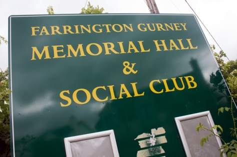
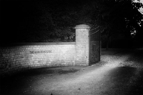
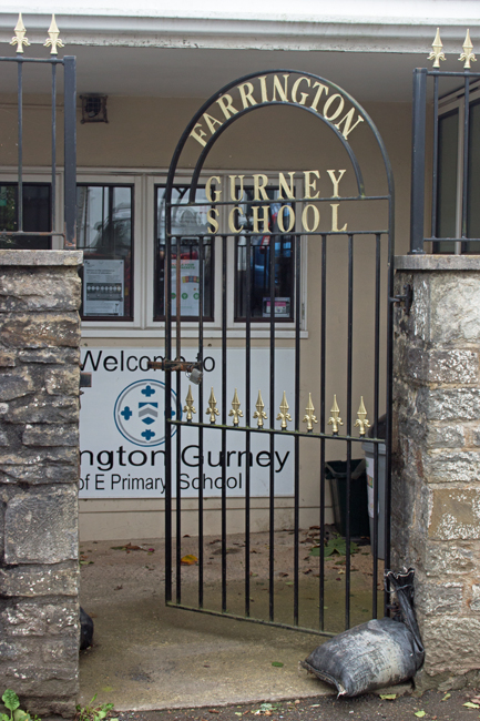
Wedged between the Somerset link roads of the A37/A39 and A362 lies the unassuming village of Farrington Gurney.
As you might guess from my previous posts, it was the village name that drew me in. The Doomsday Book mentions the village of Ferentone, while Gurney is thought to come from the de Gournay family, who owned the lands in the 12th and 13th centuries.
The village owed a lot to the coal industry. There were three pits in Farrington itself, with a further two in neighbouring Midsomer Norton.
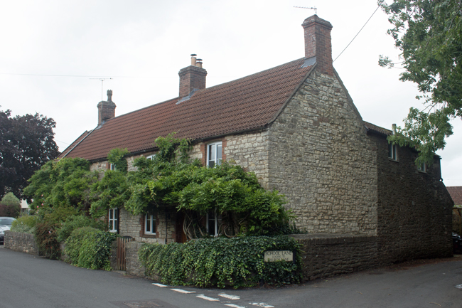
The majority of the houses are old, dressed stone, although as time has passed, newer properties have filled in the gaps between them; on the outskirts – just off the A37 – new buildings have started to sprout up.
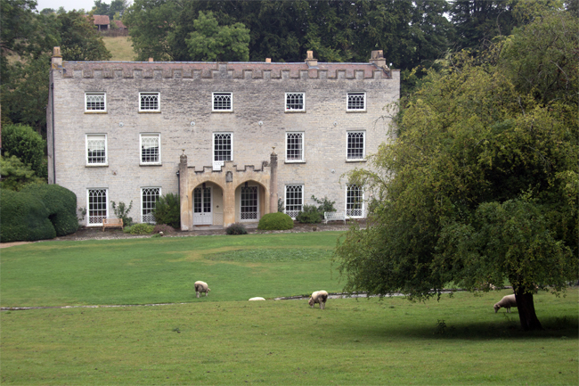
As you might expect, a manor house is at the heart of the village – hidden behind high stone walls, is a large property dating back to 1637, which you can only see from tantalising glimpses in the tree line.
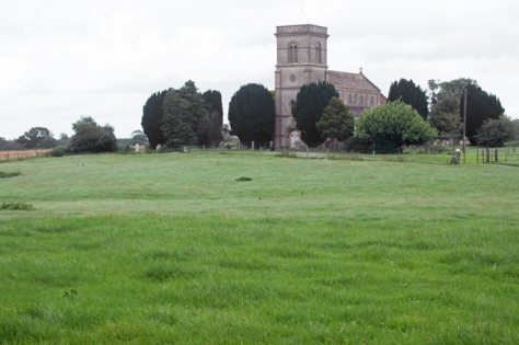
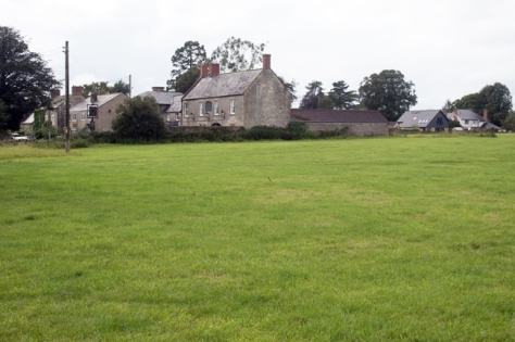
The village church – dedicated to St Jon the Baptist – is set in open fields around a mile from the village itself. It’s a small parish – there are less than 1000 residents – and the church is easily visible from form the village (and, more importantly, the manor house, the owners of which presumably paid its construction).
It’s a beautiful little church, though, and its peaceful location adds to the calm surroundings.
One war grave sits quietly in the churchyard, that of Gunner Watts – my next post will talk more about his life.
Farrington Gurney is a lovely little village; there’s a bit of a juxtaposition between the old and the new, and the proximity to two main roads can jar a little, but it fits in to the A-Z nicely.
A hop and a skip away from Dinder is a bit of a jolt; the population of Evercreech is ten times the size, and you do notice it.
Just to the south of Shepton Mallet, this has the potential to be a bustling place, although the day I visited was a typically English summer, with heavy showers, so it was quieter than it could have been.
The centre of the village holds onto its Norman roots – Evrecriz was mentioned in the Doomsday book – and the buildings are old stone cottages, with the occasional larger manor thrown in.
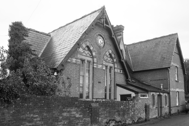
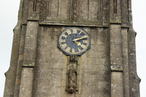
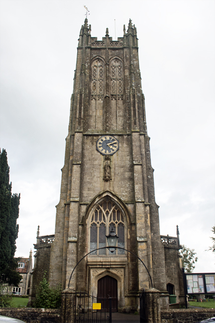
The church, however, is one of the things that drew me to choosing this as my ‘E’ village. The renowned twentieth century architectural historian Nikolaus Pevsner said than it has one of the finest Somerset-style towers in the county, but it is the mysterious clock that interested me.
The face of the clock has no 10 on it (or no X, in Roman numerals). Instead, the numbers go 9 – 11 – 12 – 12 (IX – XI – XII – XII).
Local rumour suggests that the person who paid for the clock to be made was instructed by his wife that he had to be home from the pub by 10 o’clock. Therefore, he ensured that the 10 o’clock numeral (X) was missing from the clock face.
While the village is a large one – with a population of nearly 2,500 – it is very easy to get into the open countryside.
Walk past the Bell Inn, one of Evercreech’s three pubs, and you find yourself crossing open fields to reach the village’s cemetery.
A small graveyard, but still in regular use, this holds a history of its own.
There is a war memorial to those who fell in both World Wars, while there are four war graves to those whose remains were able to be buried on English soil. Four stories, which I’ll explore in later posts.
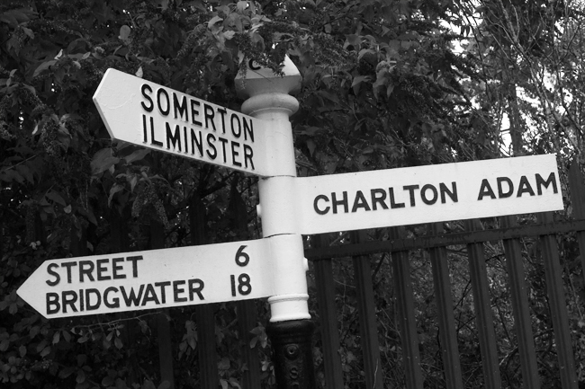
One of the things I have found since moving down to Somerset how different the place names are from back in the south east of England. For every Yeovil there is a Kingsbury Epicopi, for every Bridgwater, a Chiltern Cantelo. The etymology of these place names holds a constant fascination for me, and is another reason I have set out to explore the local area more.
So it is that, on reaching the letter C in my quest, that I choose an unusually named village to photograph.
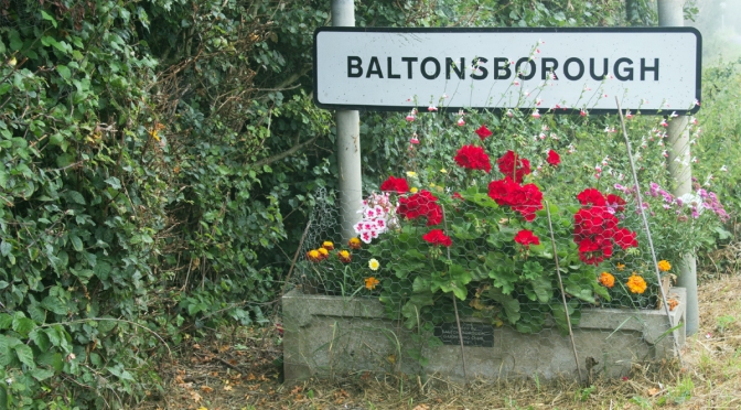
Charlton Mackrell lies midway between Glastonbury and Yeovil, on Bull Brook, a tributary of the River Cary. It shares its name with the neighbouring village – the similarly named Charlton Adam – and, like Baltonsborough, has a population of around 1000 inhabitants.
The names of the villages can be traced back centuries – Charlton comes from the Saxon word for “farmstead of the freemen”. Adam can be pinpointed to the local FitzAdam family who once lived there. Mackrell is less easy to pin down, but it is likely to have similar origins.
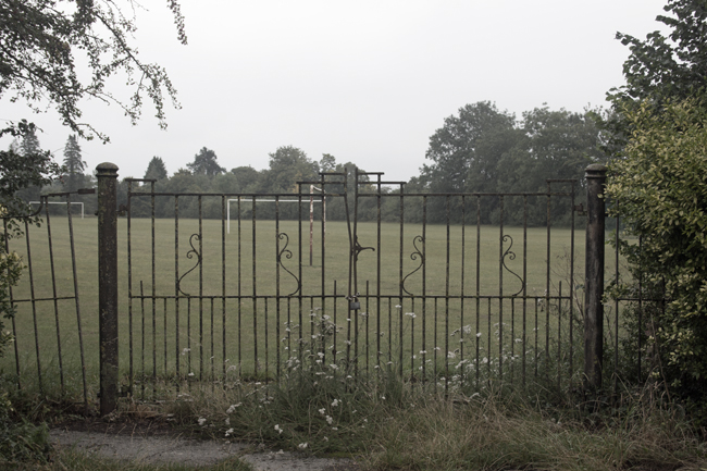
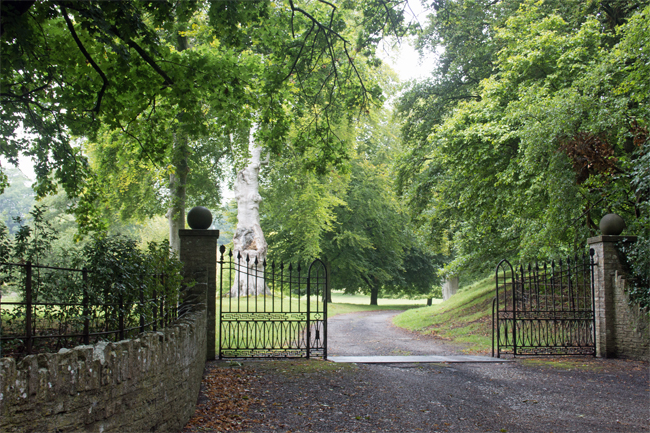
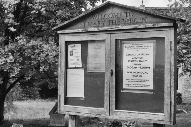
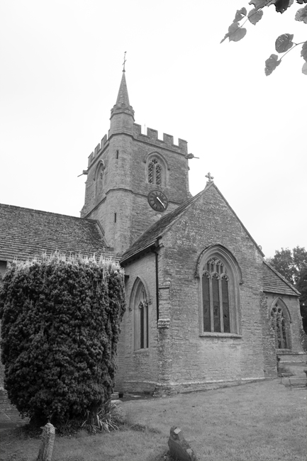
Certainly manorial buildings rule over the village in the way they tend to do; large houses and mysterious gated entrances can be found all over. The local church – Saint Mary The Virgin – sits right next to, and is obviously connected to, one of the larger properties (after all, manorial families often built religious buildings out of their own money to show their devotion to God, which just happened to help them control the local population).
The Charltons also suffered at the hands of Dr Beeching; the railway station closed in 1962, along with the other six stations between Castle Cary and Taunton. Three railway bridges survive, however, the lowest of which is only 2.7m (8’9″) high.
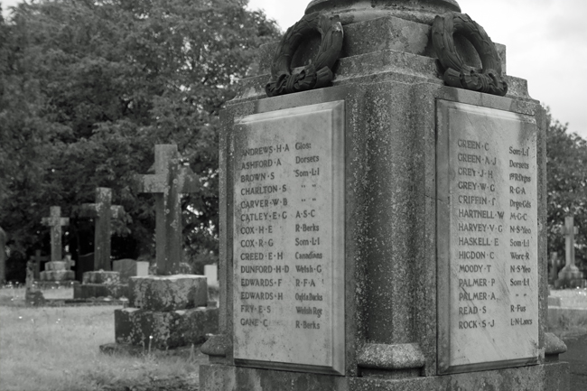
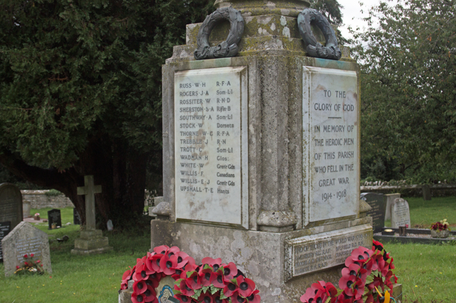
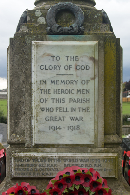
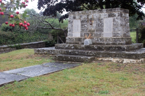
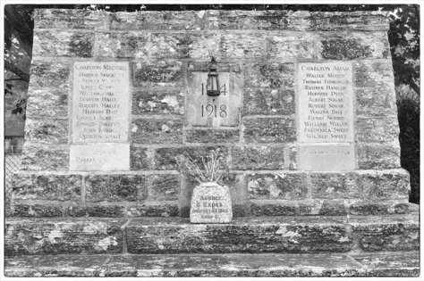
The villages’ war memorial is, unusually, not at the heart of things. It is, instead, nestled in a fork in the road joining the Charltons. Sadly, it only serves to highlight that, even in the depths of the Somerset countryside, tight knit communities were in no way immune to the ravages of war.
There are, thankfully, only eleven names of the lost under each of the villages, but given that the combined population of the two villages at the time was around 600, these twenty-two fallen represented an unthinkable loss for those left behind.
Two of the men on the Mackrell side of the memorial are buried in St Mary’s churchyard. If you have followed my previous CKPonderings blog, you will know that the history and stories behind those who fell during the Great War fascinate me.
Private Quinton Charles Wyatt was born in the Gloucestershire town of Northleach in 1893 to William and Elizabeth. His mother died when he was a toddler and, by the time war was declared, Quinton was working as a farm labourer and waggoner.
He joined the 8th Battalion of the South Staffordshire Regiment on 22nd November 1915. He was posted to France four months later, but medically discharged from the Army on Boxing Day 1917.
Private Wyatt died in Charlton Mackrell on 11th November 1918 – Armistice Day – and buried in St Mary’s churchyard.
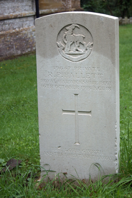
Private Roberts Pretoria Hallett was born in the summer of 1900, to Frank – a shepherd from Charlton Adam – and Emily, who came from Charlton Mackrell. Roberts (the correct spelling) was the youngest of eleven children.
Roberts was just twelve when his father died, and, when war came, he enlisted in Taunton, along with his brothers, Francis and William. The Great War was not kind to Emily Hallett: her son William died while fighting in India in 1916; Francis died in the Third Battle of Ypres in June 1917.
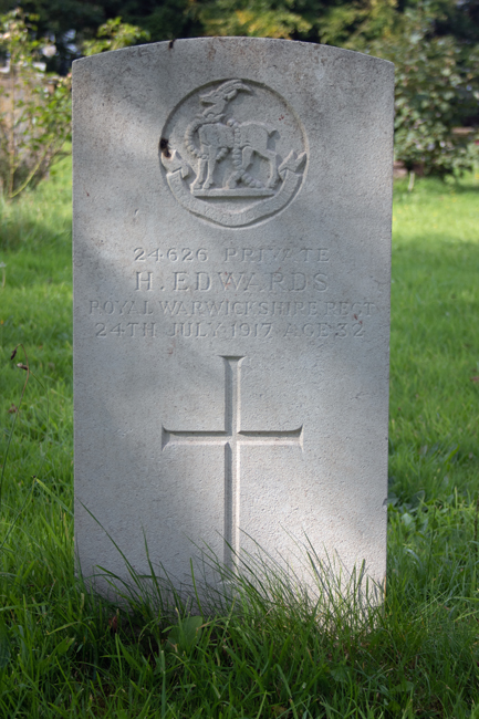
Roberts was assigned to the 5th Battalion Royal Warwickshire Regiment; while I’ve been unable to identify exactly when he saw battle, by the last year of the war he would have been involved in the fighting in northern Italy.
What we can say for certainty was that is was shipped home at some point towards the end of the war, and died – presumably of his injuries – in Newcastle-upon-Tyne on 16th October 1918.
William Hallett was buried in India, Francis in Belgium. Private Roberts Hallett, therefore, is the only one of the three brothers to be buried in the churchyard of St Mary’s in his birthplace of Charlton Mackrell.
The second of the Somerset villages I’m showcasing, and it’s a short eight mile hop to the east of Ashcott where we find Baltonsborough.
This certainly has more of a village feel than Ashcott, mainly to to its smaller population – less than 900 inhabitants – and the fact that it’s not situated on a main road. The houses are, generally, older, and the centre of the village – the pub – is within spitting distance of the village hall and church.
The church itself is dedicated to St Dunstan. Born in Baltonsborough, Dunstan was Abbot of Glastonbury Abbey, Bishop of Worcester, Bishop of London and Archbishop of Canterbury before dying in 988.
Other notable sons of this quaint village include a Canadian politician, the person responsible for introducing rabbits to Australia and Victoria Cross recipient Edward Noel Mellish. While not born in the UK, actor Nicholas Cage has also made Baltonsborough his Somerset home.
The village centre is also where the War Memorial is located. Alongside the plaques to those who lost their lives in the two world wars is one commemorating the other villagers who fought.
The first of an ad hoc, semi-regular roam around the villages of Somerset…
We’ll begin out journey in the village of Ashcott.
Situated on the side of the busy A39, three miles (5km) to the west of Street, Ashcott is a small village made up of a mix of old and modern buildings.
While the village seems to lack a real central focus, All Saints Church dominates the eastern heights.
The local amenities include a couple of pubs – the Ring O’ Bells and the Ashcott – and, while no longer served by the railway (Ashcott and Meare station and, indeed, the whole of the Burhnam branch line, were axed as part of the Beeching cuts in the 1960s), it is still a pleasant walk down to the Shapwick Heath and Ham Wall nature reserves, where the trains once passed.