Tag Archives: church

A-Z of Somerset: Kingweston

K is for Kingweston

Okay, so a slight hiccup in the A-Z proceedings in that there is no village (or town, or city) in Somerset that begins with the letter J. So, I will skip over that, and look at K instead.

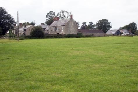
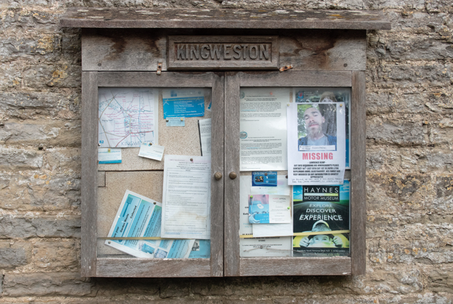
And Kingweston is the stereotype for the evolution of a village.

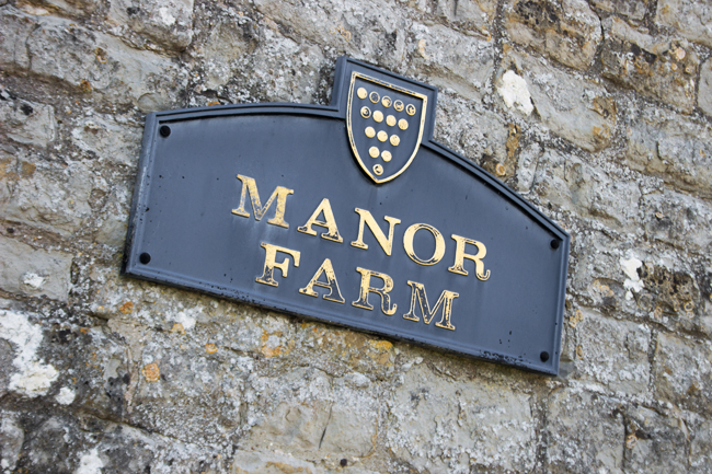
It’s the end of the 11th Century. You’ve supported the winning side and so, as a reward, you are given the manor of Chinwardestune. It’s good farming land, and you have a nice house there. Over time – and changes of ownership – the manor has grown strong: you have a large house, alongside which you have built a church, there are farm buildings and cottages for your workers.

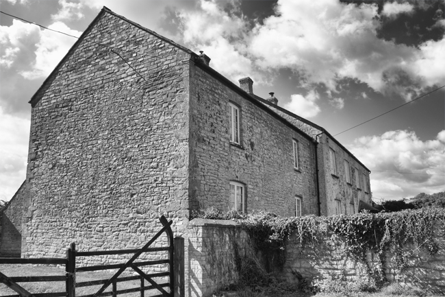
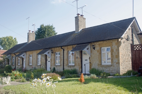
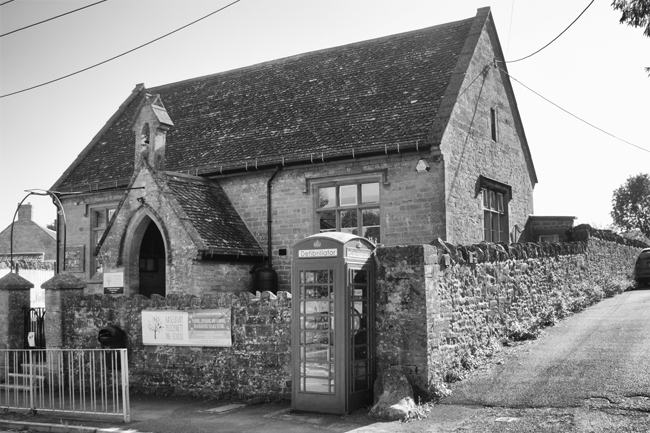
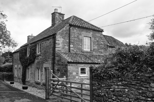
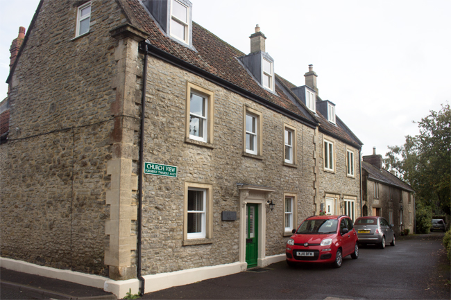
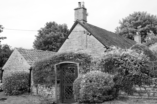
And that’s it. This village, with a population of less than 150, is little more than a farm, the attached manor house and its religious building and workers cottages.


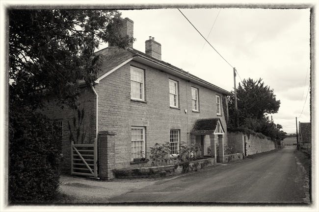
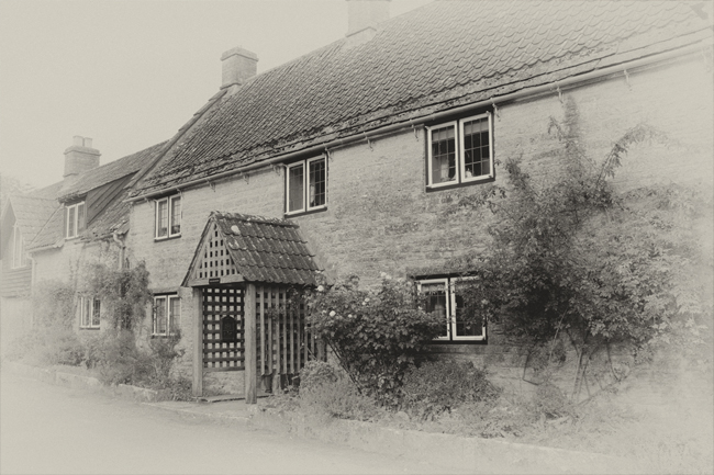
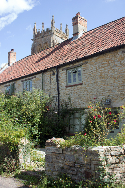
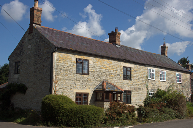
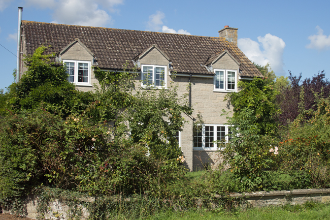
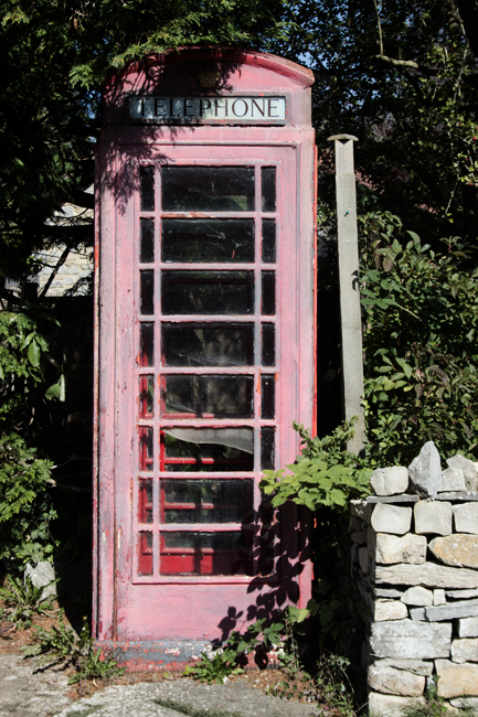
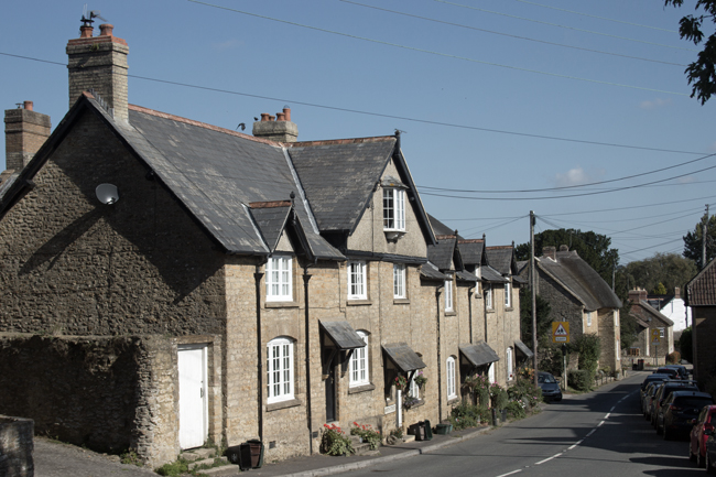
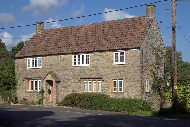
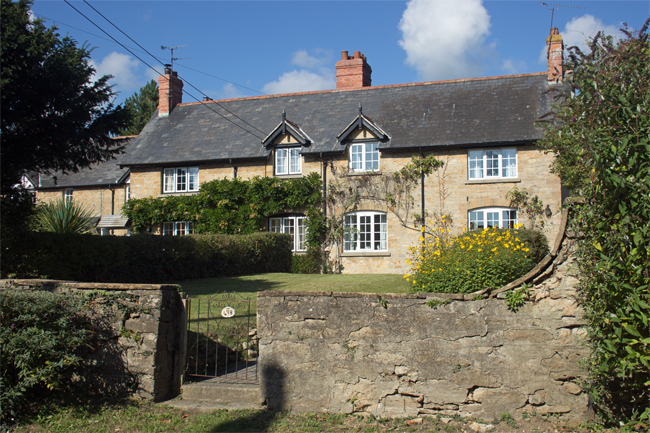
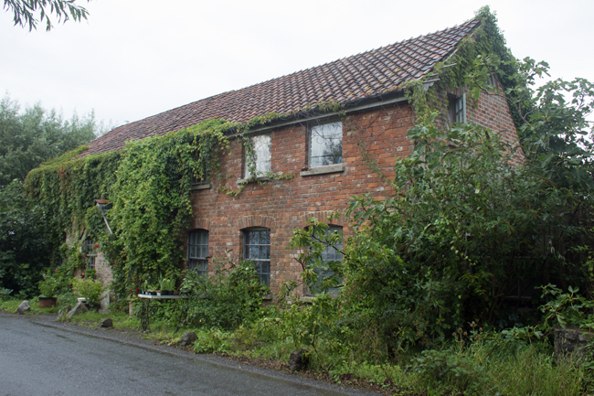
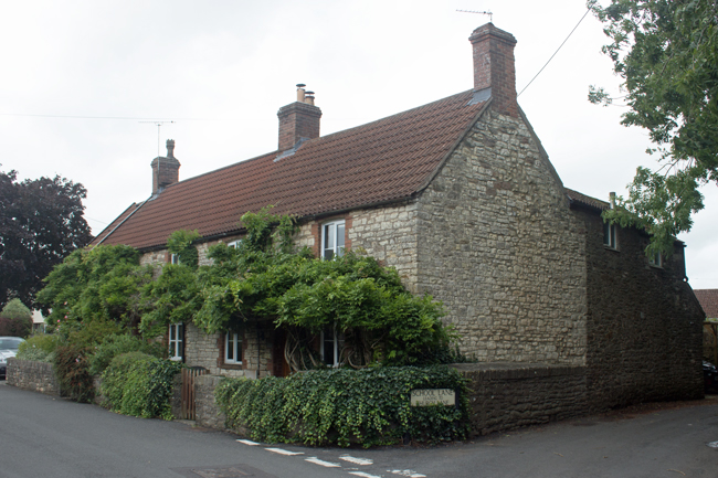
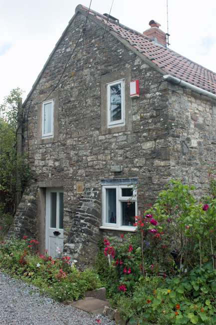
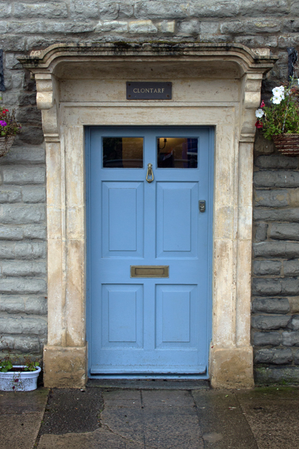
The cottages are very picturesque; higgledy-piggledy on the lane up to the manor house and farm.

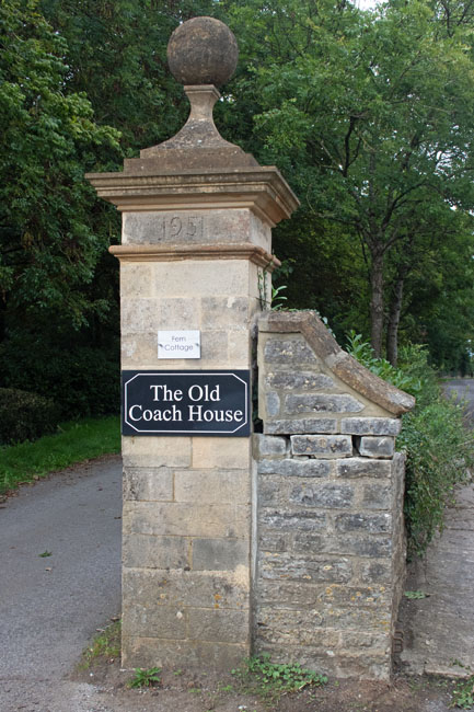
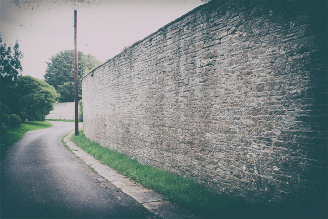
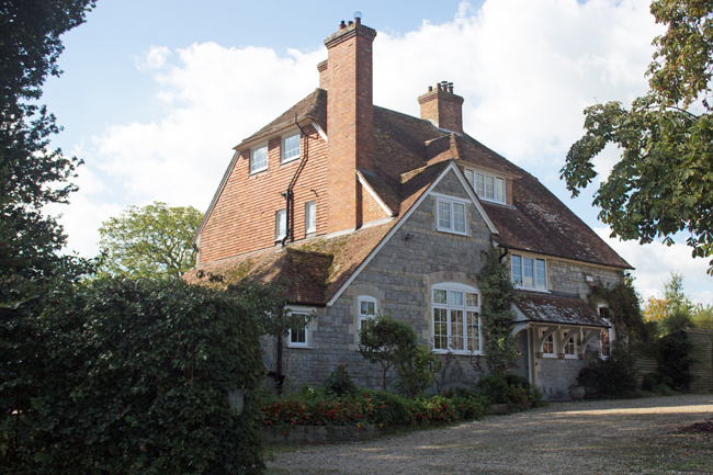
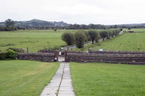
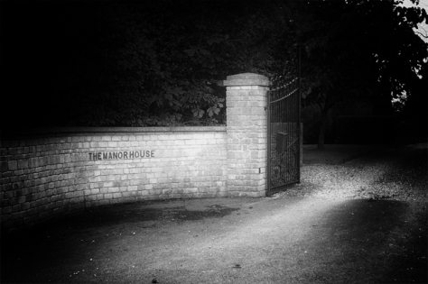
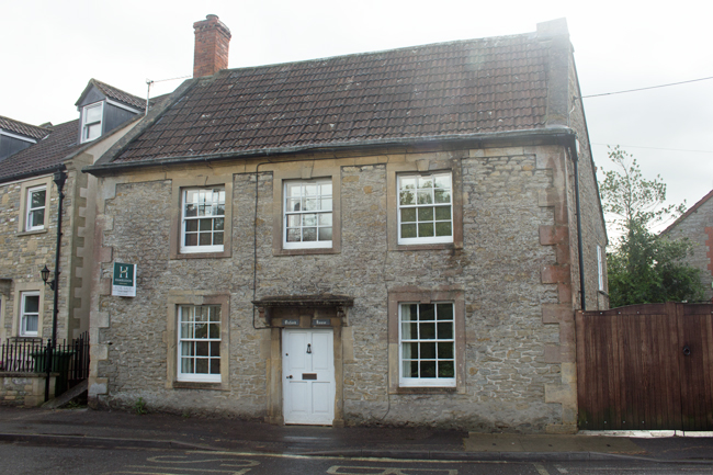
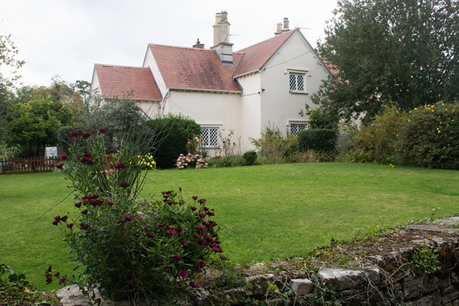
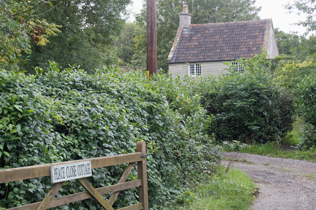
Walk up the main road and you encounter the Manor House. The barrier between those that had and those that had not. A high wall rings its lands, through the trees you get a glimpse of the grandeur within, but a glimpse is all you’re going to get.

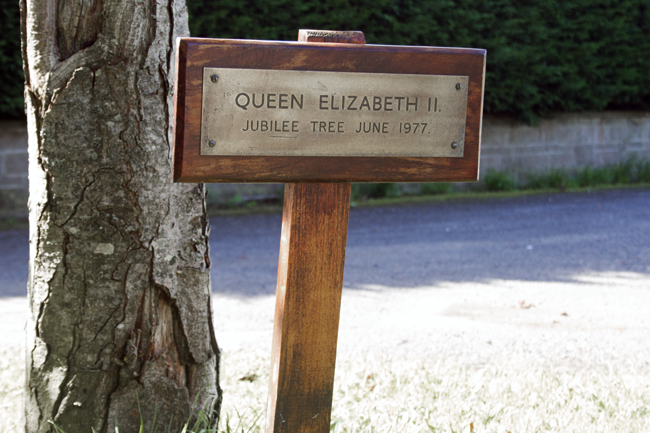
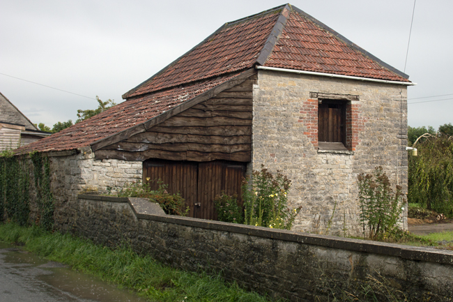
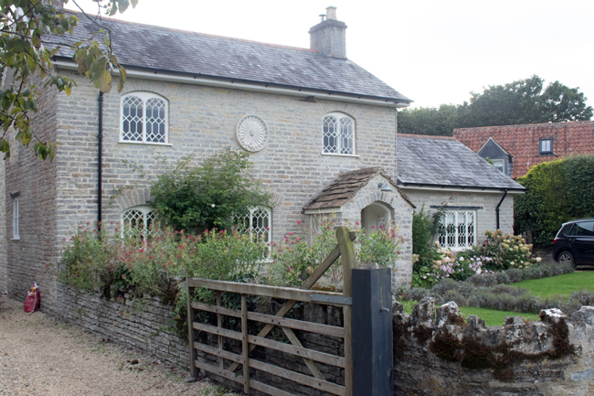
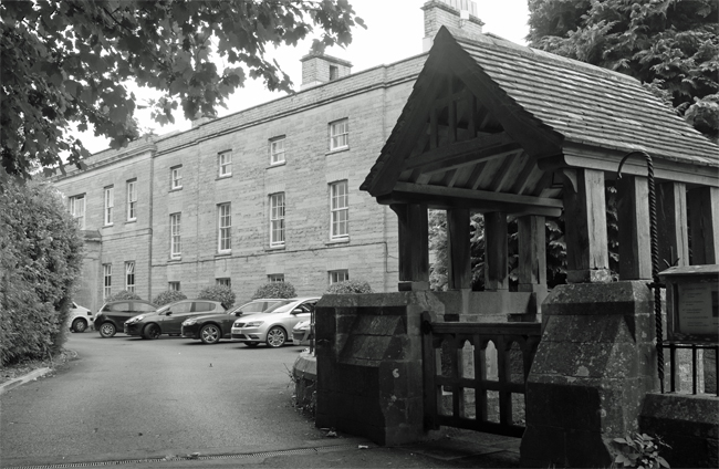
The current Kingweston House was built in the 1800s by the long-term residents, the Dickinson family. In 1946 it was bought by Millfield School and has been used by them ever since.


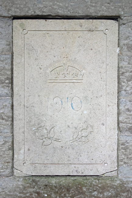
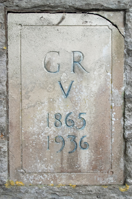
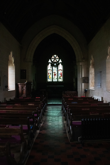
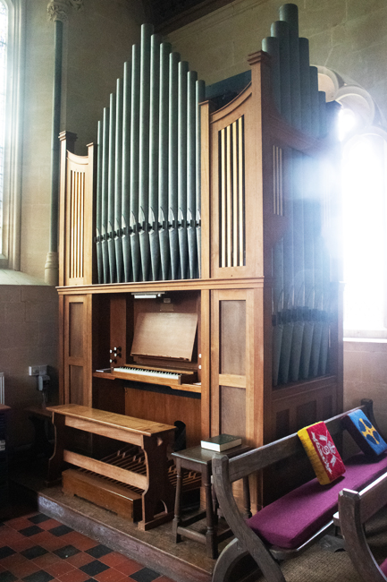
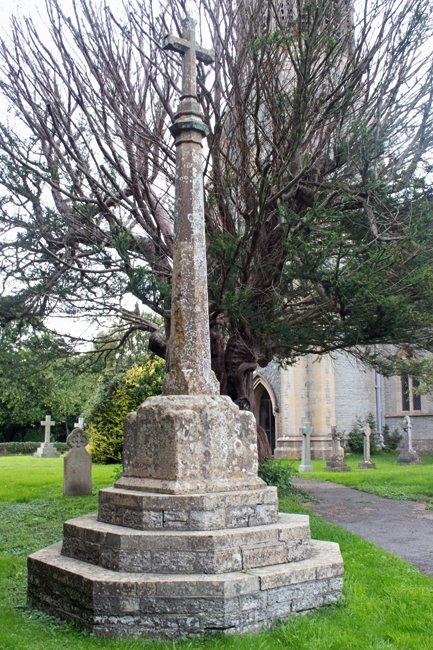
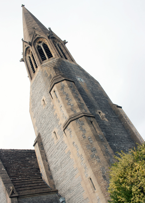
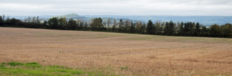
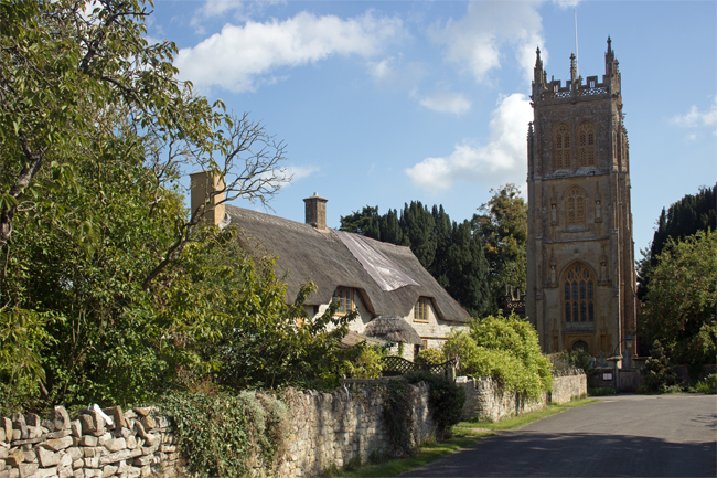
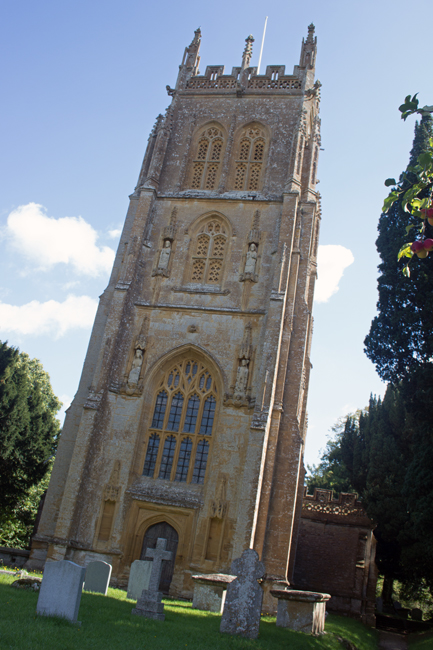
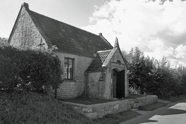
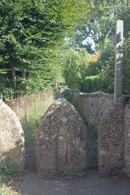
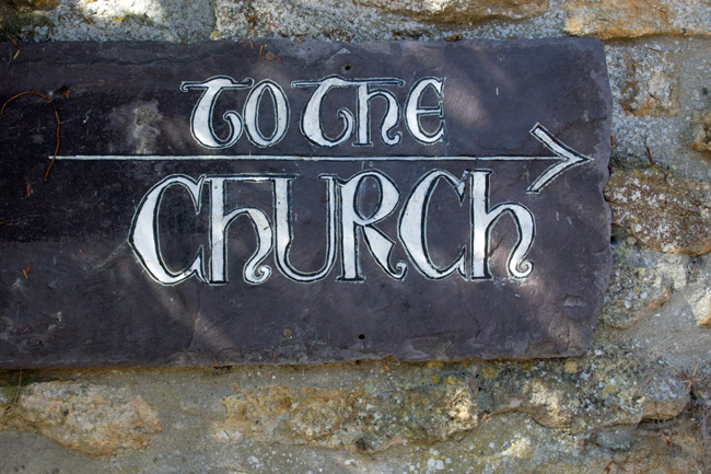
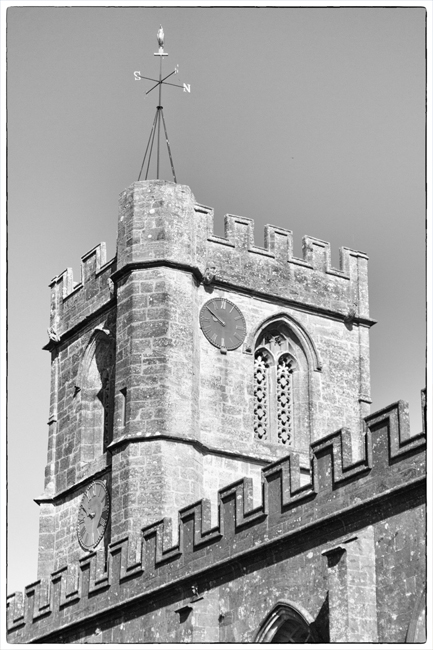
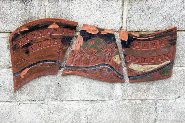
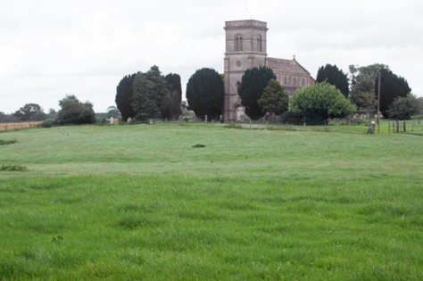
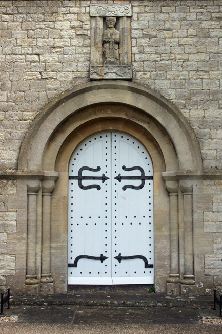
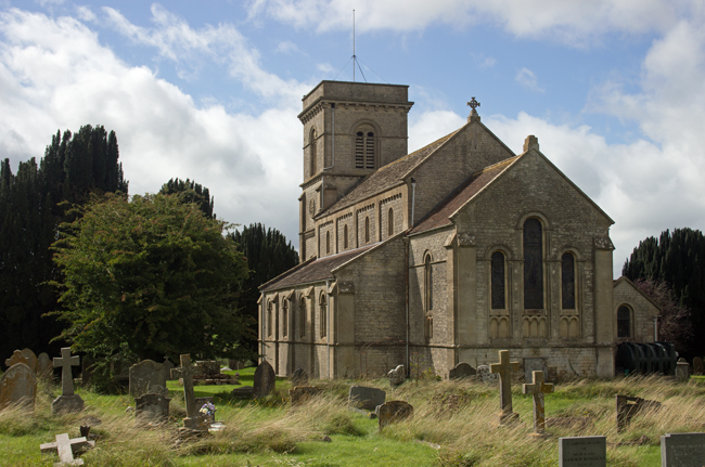
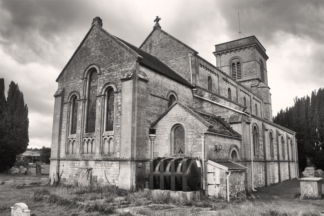
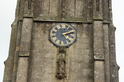
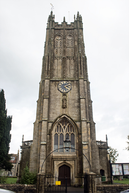
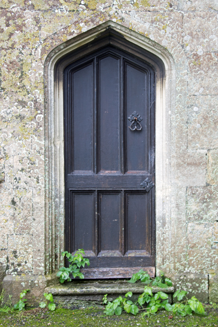
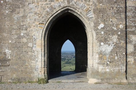
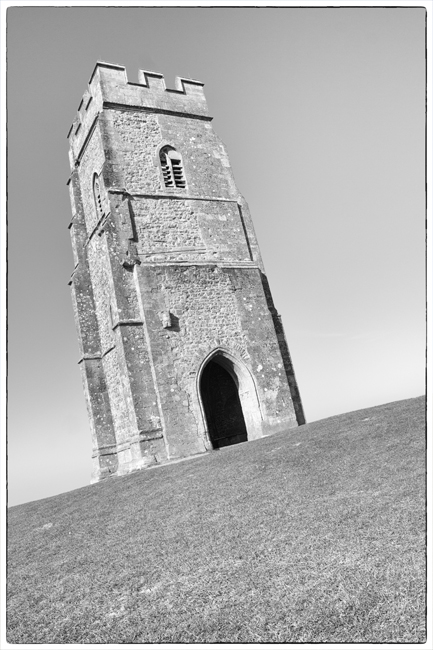
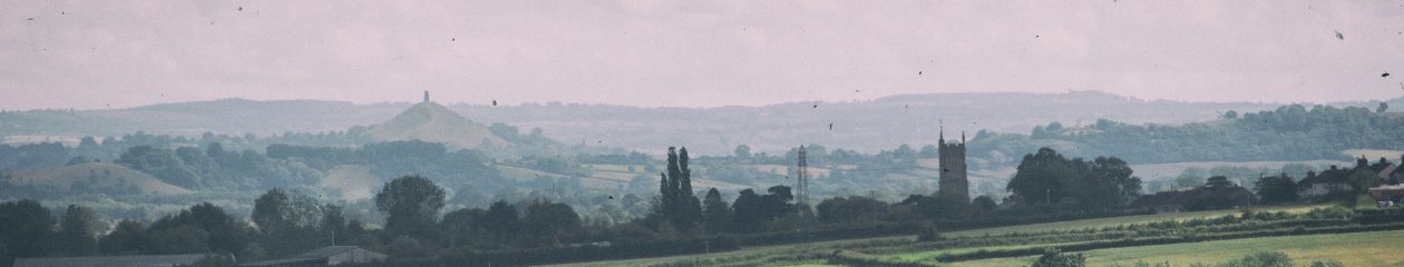
The Church of All Saints is of a similar age to the manor house. Set at the upper end of the village, it is an ideal space for contemplation, as it overlooks the countryside towards Glastonbury Tor.

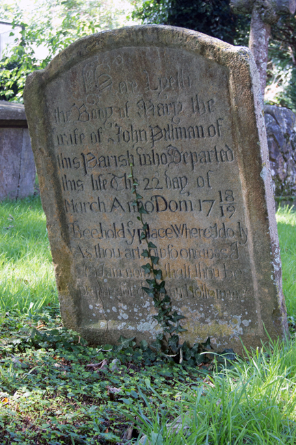
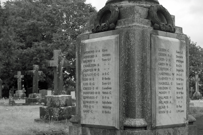
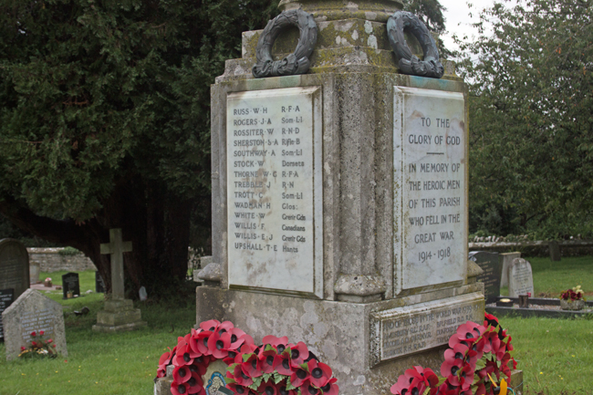
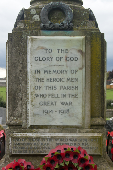
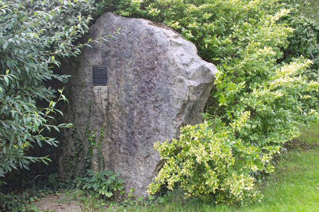
The Commonwealth War Graves Commission suggests that Major Francis Arthur Dickinson is buried in the churchyard and, while I was unable to find his headstone, he is commemorated on the Roll of Honour in the church itself.

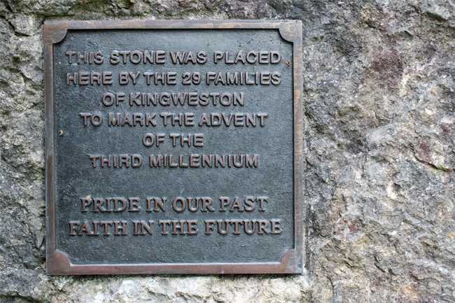
The plaque mentions other members of the Dickinson family who died during the Great War:

Lieutenant Colonel Hugh Carey Dickinson, of the Somerset Light Infantry and King’s African Rifles, died in Dar-es-Salaam in 1918.

Lieutenant George Barnsfather Dickinson of the East Lancashire Regiment fell at Ypres in May 1915.


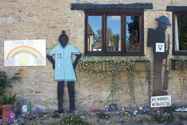
The village has, understandably, a community feel to it. Even though the farm workers have move on and been replaced by wealthier country folk, Kingweston has a heart and a draw to it.


A-Z of Somerset: Isle Abbotts

Tucked away deep in the countryside between Ilminster and Taunton is the picture perfect village of Isle Abbotts. Taking its name from the River Isle – which flows nearby – and Muchelney Abbey – whose lands it once sat on – Isle Abbotts is a tine village of little over 200 people.

And tucked away it is! I know I’m still fairly new to the county, but the road from Ilminster is as countrified as you get. High hedges on both sides, a strip of grass down the middle of the tarmac, battling tractors, a dog, some chickens and a Tesco lorry, it took a while to get there, but the journey was worth it.

There is a very chocolate box feel to Isle Abbotts; thatched cottages, a green, well tended gardens and cute village hall, the place is the epitome of the English country village.

There are two churches – The Blessed Virgin Mary and a baptist chapel (now a house, but the graveyard remains) – and the former is the heart of the village, as it should be. The majority of the graves are old and ornate, reminding you that the church was funded by – and therefore the domain of – the local landowners.


All the elements of a small community are there – a stone-built bus stop and information board, a hall with a stand for second-hand books, a sun-bleached telephone box, a tree planted to commemorate the Silver Jubilee in 1977.

But the bigger reminder of the connection between Isle Abbotts and the countryside around it is the farmland.

It is very easy to get right back into the countryside from the village centre, passing through farmland, you come to a bridge across the River Isle, from where a track passes to the neighbouring village of Isle Brewers.

(Smaller in population than Abbotts, Isle Brewers takes its name not from beer-making, but from the the family of William Briwere, lord of the manor in the 1200s.)

At this end of the village, the Manor Farm dominates the landscape, and you readily remember that this is what would have provided labour for the majority of the population in days gone by.

Quiet, isolated, but calm and peaceful, this is definitely a place that reminds you to get out in the sticks, get away from town and city life and enjoy the open air.


A-Z of Somerset: Haselbury Plucknett

H is for Haselbury Plucknett

In the south of the county of Somerset, almost at the border with Dorset, lies the enchantingly named Haselbury Plucknett. Lying three miles (5km) to the east of Crewkerne, the name literally means “(Alan de) Plugenet’s hazel grove”. A somewhat busy road runs through the village, but this does not detract from its charm.

The cottages in the centre of the village are built of local stone and face the village green. They’re well-attended and give the village a real sense of community, something that was in evidence as I roamed around.


Just down from the village green are the Jared Gear Almshouses, set aside to provide safe and secure housing accommodation for people with limited financial resources who have connections with Haselbury Plucknett.


Wulfric of Haselbury was a noted resident of the village. In 1125 he moved there from Compton Martin, just south of Bristol, in pursuit of a wholly religious life. He withdrew from secular matters almost completely, living in a cell adjacent to the village church, St Michael and All Angels. Wulfric’s piety attracted notable well-wishers; King Henry I and King Stephen both sought his advice and he became well renowned not just around Somerset, but also at court. When he died in 1154, he was buried in the church.

The village church lies just off from the centre and, like the village itself, is a tranquil place. There are no Commonwealth War Graves in the churchyard, but the War Memorial commemorates the twelve Haselbury souls who gave their lives on the field of battle during the Great War.

One of those remembered was Harry Shyer. He was just 20 years and 3 days old when the ship he was serving on – the HMS Good Hope – was torpedoed off the coast of Chile during the Battle of Coronel. All hands from the ship were lost, a total of 926 men.

The war memorial includes two sets of brothers: John and William Eastment and George and Harold Tout. Given the population of Haselbury Plucknett was less than 500 at 1911 census, the war must have taken an incredible toll on the village and the twenty-two losses would have been felt.


Two other key parts of the village lie within 300ft (90m) of each other; the local school and the village pub. (I make no assumptions as to their location, other than Haselbury Plucknett being a small village!)


A-Z of Somerset: Godney

G is for Godney

The next in the A-Z is one that potentially challenges what I am looking to achieve in a list of Somerset villages as it examines what actually constitutes a village.

In England, at least, you have hamlets, villages, towns and cities.

  • Hamlets have no central place of worship and no meeting point (for example a village hall).
  • Villages have one central place of worship and a meeting point.
  • Towns have more than one of each and will often have a charter to hold a weekly market; they will also have their own form of council.
  • Cities are larger conurbations with multiple places of worship and meeting points.

So, why bring this up now?

Well, the issue with the next place I have visited is that technically it is not a village.

Godney has a handful of houses, a farm and a small church (Holy Trinity), but no meeting point.

It lies just to the north of Glastonbury, on a small rise overlooking the River Sheppey.

Why am I including Godney in the A-Z, then? Well, on the other side of the river are two other hamlets – Upper Godney and Lower Godney – and between the three of them, they meet all of the requirements of a village.

So, then, I am looking at The Godneys, not just Godney itself. (Okay, it’s a bit of a stretch, but they’re nice places!)


While Godney has the place of worship, Lower Godney has the meeting place. This is where the Village Hall is located, as well as the local pub, The Sheppey Inn (named after the river that runs behind it).


Upper Godney is today just a small stretch of houses, but it was once where the local school was located as well as the village post office. Both have now closed and are houses.


There are no war graves in Godney. However, like Dinder, it formed part of the war lines, and the landscape includes a number of pill boxes at either end.

The Godneys are surrounded by flat, drained marshland and the natural ditches formed the basis of tank defences during the Second World War. These were supplemented with a purpose-built anti-tank ditch around the village, while bridges in the area were prepared for demolition at short notice.


The Godneys are a great place for walking and cycling, particularly as the ground is so level. The views south to Glastonbury Tor and north to the Mendips are well worth it.


An A-Z of Somerset: Farrington Gurney

F is for Farrington Gurney

Wedged between the Somerset link roads of the A37/A39 and A362 lies the unassuming village of Farrington Gurney.

As you might guess from my previous posts, it was the village name that drew me in. The Doomsday Book mentions the village of Ferentone, while Gurney is thought to come from the de Gournay family, who owned the lands in the 12th and 13th centuries.

The village owed a lot to the coal industry. There were three pits in Farrington itself, with a further two in neighbouring Midsomer Norton.

The majority of the houses are old, dressed stone, although as time has passed, newer properties have filled in the gaps between them; on the outskirts – just off the A37 – new buildings have started to sprout up.

As you might expect, a manor house is at the heart of the village – hidden behind high stone walls, is a large property dating back to 1637, which you can only see from tantalising glimpses in the tree line.

The village church – dedicated to St Jon the Baptist – is set in open fields around a mile from the village itself. It’s a small parish – there are less than 1000 residents – and the church is easily visible from form the village (and, more importantly, the manor house, the owners of which presumably paid its construction).

It’s a beautiful little church, though, and its peaceful location adds to the calm surroundings.

One war grave sits quietly in the churchyard, that of Gunner Watts – my next post will talk more about his life.

Farrington Gurney is a lovely little village; there’s a bit of a juxtaposition between the old and the new, and the proximity to two main roads can jar a little, but it fits in to the A-Z nicely.


An A-Z of Somerset: Evercreech

E is for Evercreech

A hop and a skip away from Dinder is a bit of a jolt; the population of Evercreech is ten times the size, and you do notice it.

Just to the south of Shepton Mallet, this has the potential to be a bustling place, although the day I visited was a typically English summer, with heavy showers, so it was quieter than it could have been.

The centre of the village holds onto its Norman roots – Evrecriz was mentioned in the Doomsday book – and the buildings are old stone cottages, with the occasional larger manor thrown in.

The church, however, is one of the things that drew me to choosing this as my ‘E’ village. The renowned twentieth century architectural historian Nikolaus Pevsner said than it has one of the finest Somerset-style towers in the county, but it is the mysterious clock that interested me.

The face of the clock has no 10 on it (or no X, in Roman numerals). Instead, the numbers go 9 – 11 – 12 – 12 (IX – XI – XII – XII).

Local rumour suggests that the person who paid for the clock to be made was instructed by his wife that he had to be home from the pub by 10 o’clock. Therefore, he ensured that the 10 o’clock numeral (X) was missing from the clock face.

While the village is a large one – with a population of nearly 2,500 – it is very easy to get into the open countryside.

Walk past the Bell Inn, one of Evercreech’s three pubs, and you find yourself crossing open fields to reach the village’s cemetery.

A small graveyard, but still in regular use, this holds a history of its own.

There is a war memorial to those who fell in both World Wars, while there are four war graves to those whose remains were able to be buried on English soil. Four stories, which I’ll explore in later posts.


An A-Z of Somerset Villages include:

  • Ashcott
  • Baltonsborough
  • Charlton Mackrell
  • Dinder
  • Evercreech