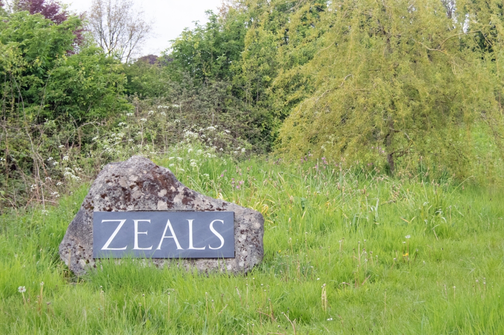
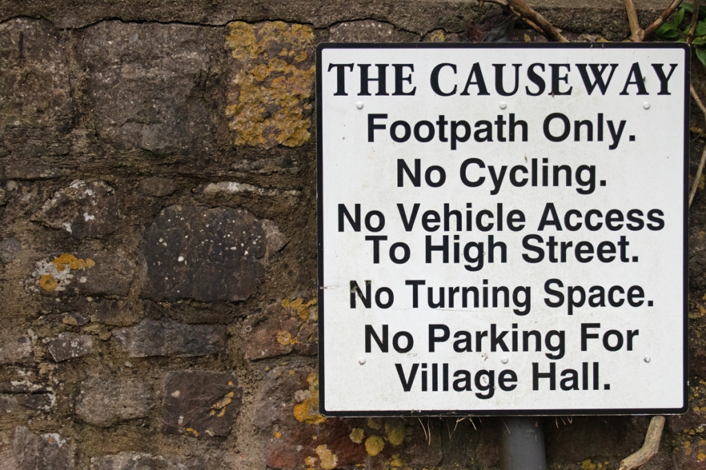
Okay, so another small liberty with this one. As discussed on previous posts there are no villages in Somerset beginning with the letters J or V. The county is also devoid of any locations starting with a Z, but, a few hundred yards over the border into Wiltshire is the village of Zeals.
Recorded as Sele in the Domesday Book, the name derives from the old English term for willow, and likely relates to the settlement being in the ancient Forest of Selwood.
The seventeenth and eighteenth centuries saw the area become a centre for flax working, and the population increased significantly. With cheap imports flooding the market in the early 1800s, the cottage industries in the are ran out of work, and employment became limited to agriculture.
Nowadays, the village has a population of less than 700, and, while within spitting distance of the main A303, is sheltered enough to feel remote.
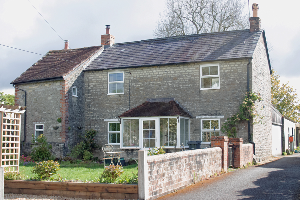
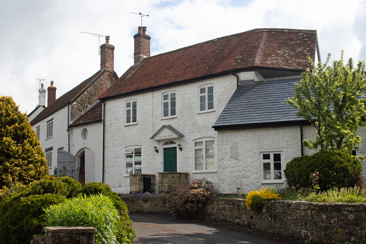
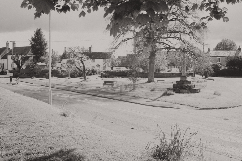
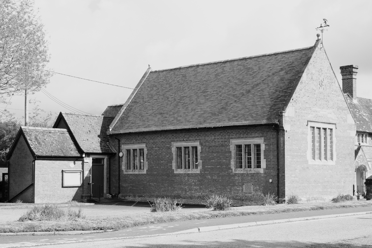
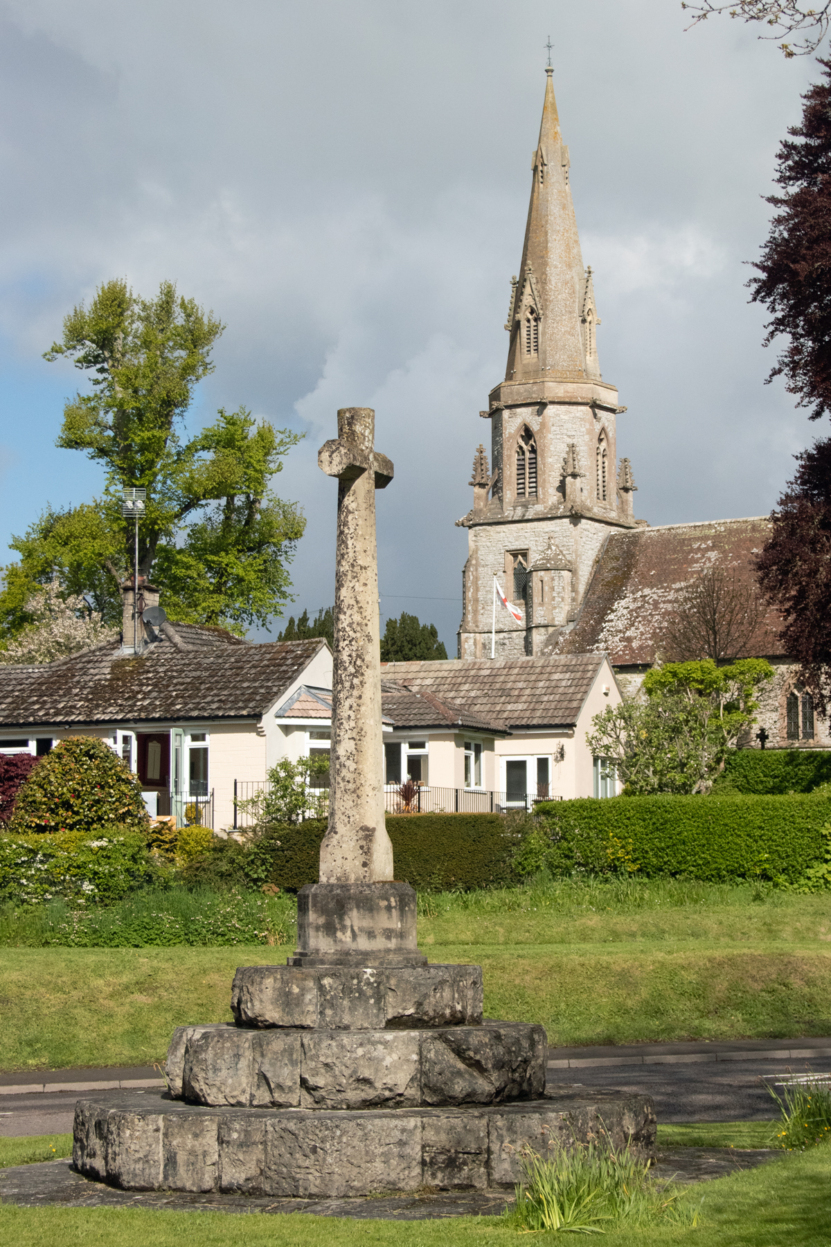
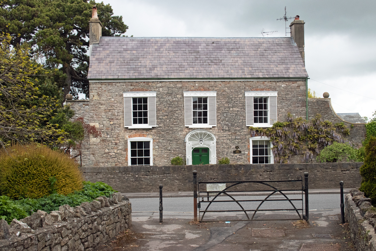
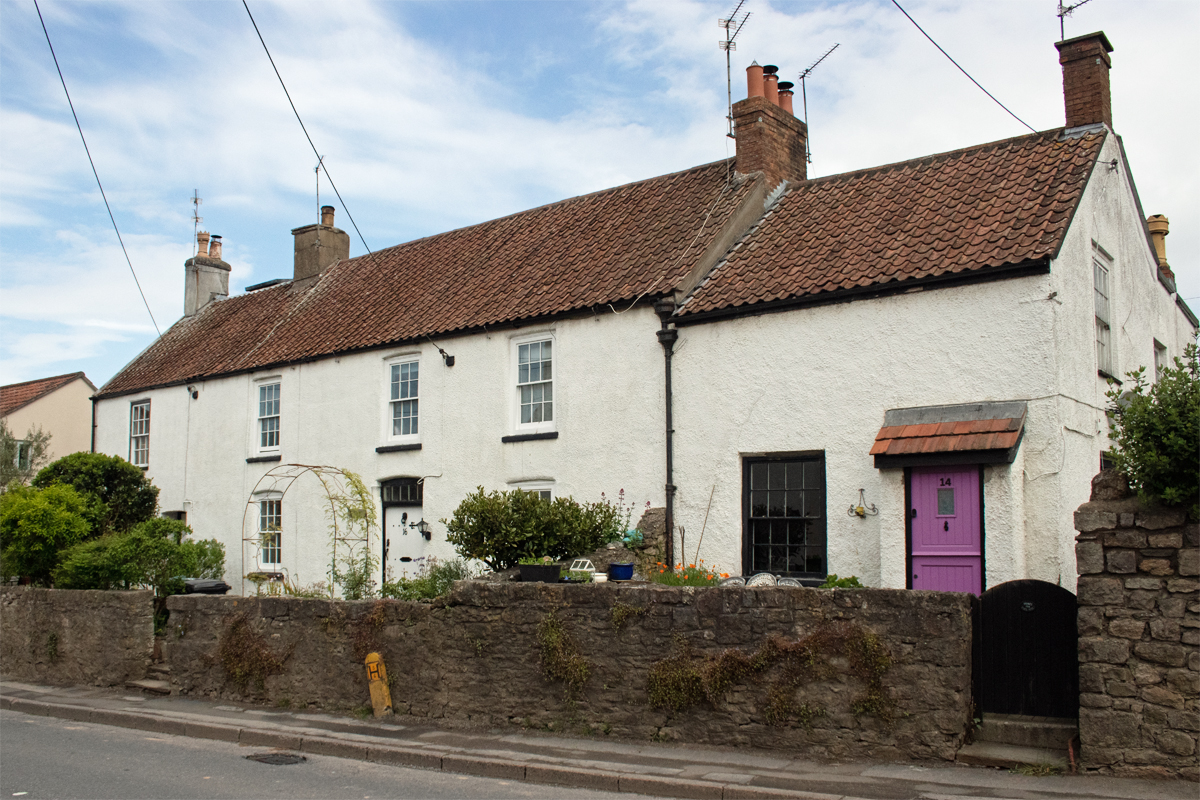
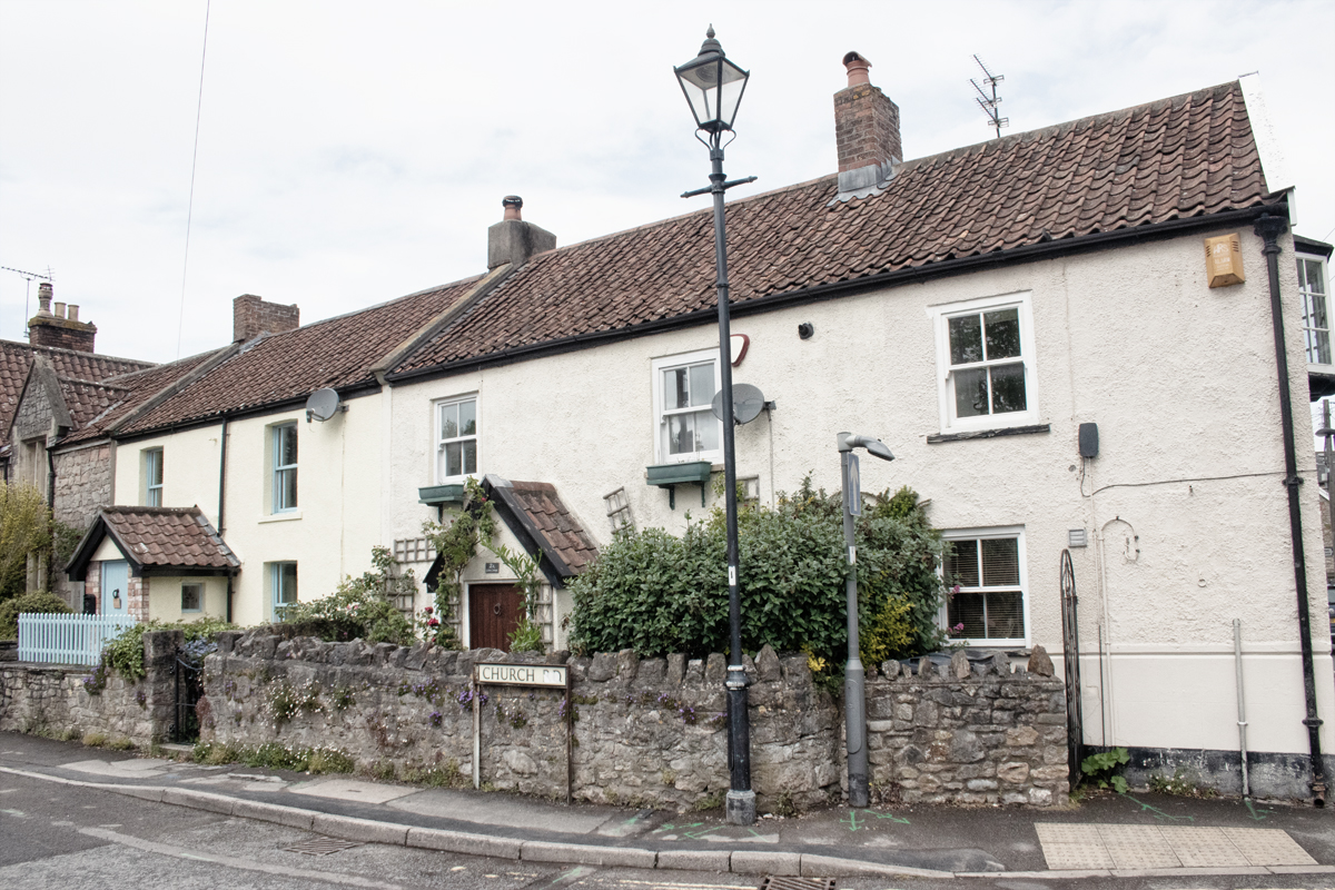
The bulk of the old village is focused on the central green, and the dwellings are mainly stone-built and slate roofed.
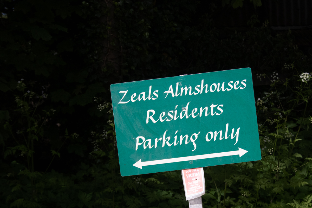
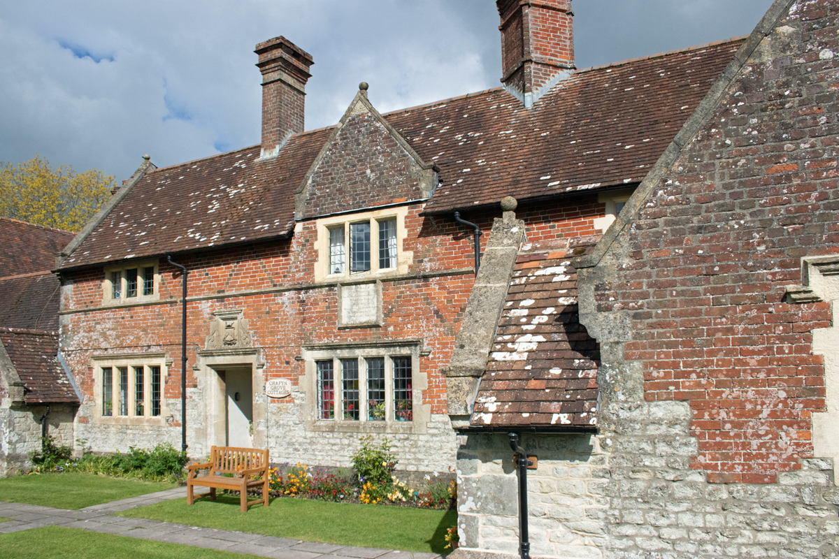
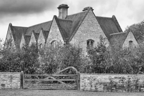
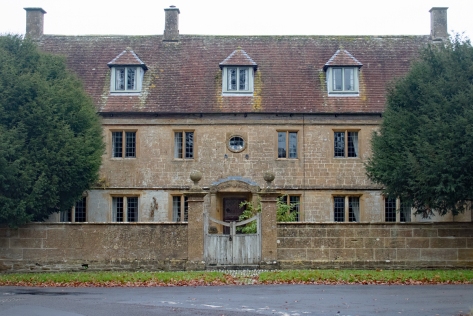
To the east of the green are the Zeals Almshouses. Built by local resident and Member of Parliament William Chafyn-Grove in the 1860s, these five one-bedroom cottages are there to cater for retired, single of married people from the village or surrounding area.
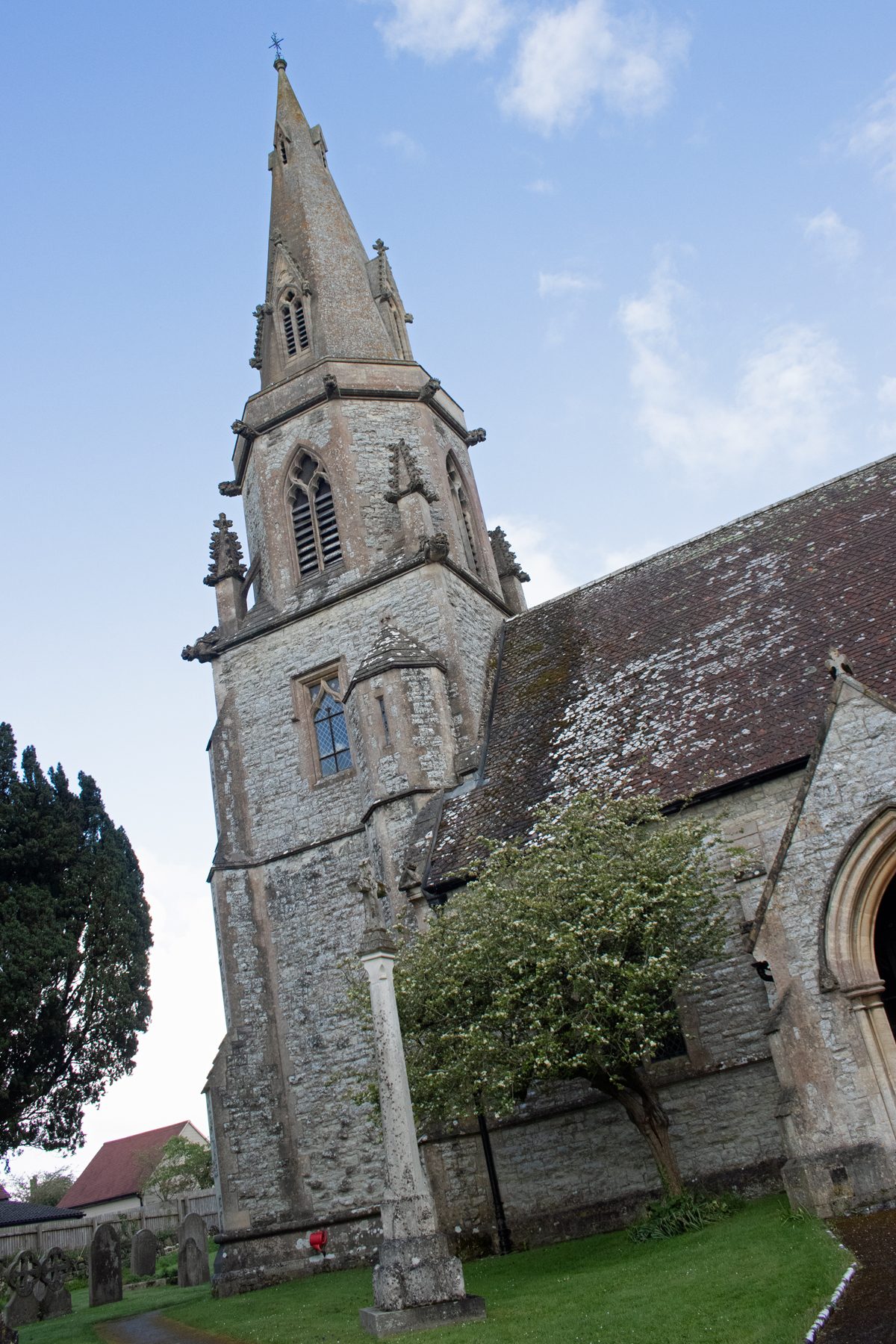
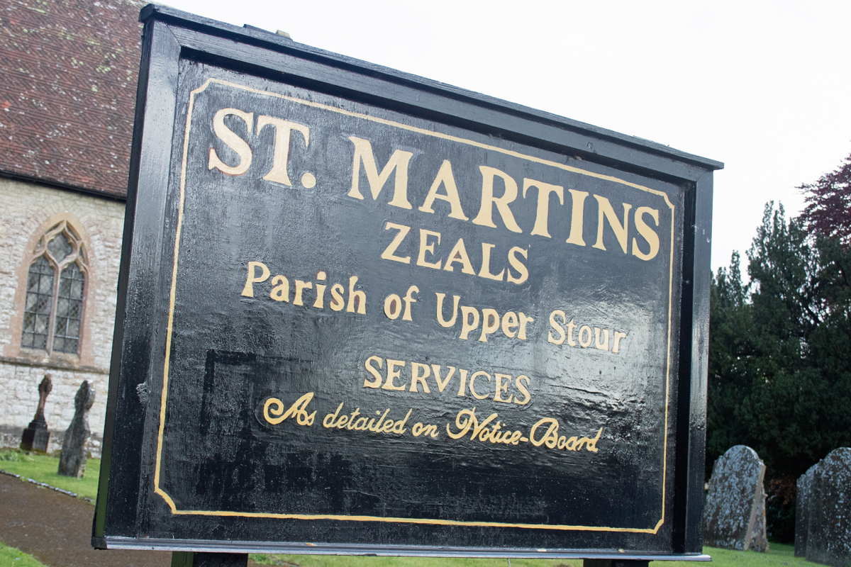
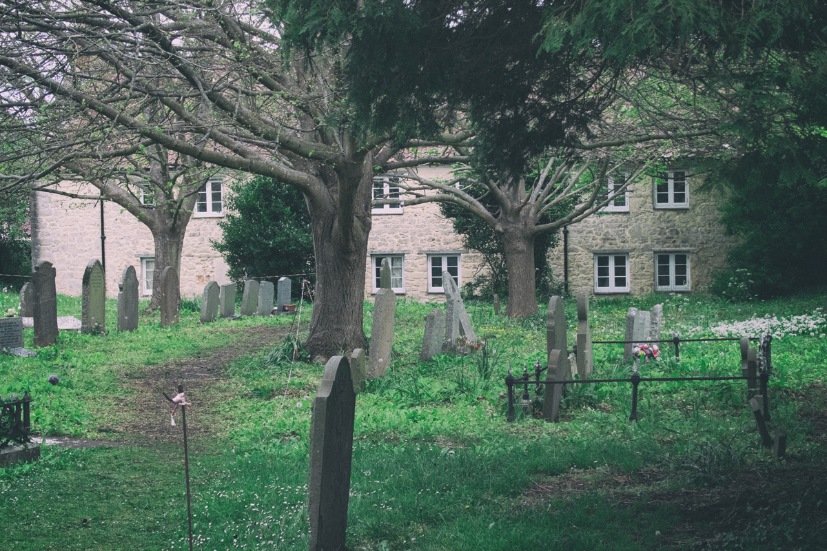
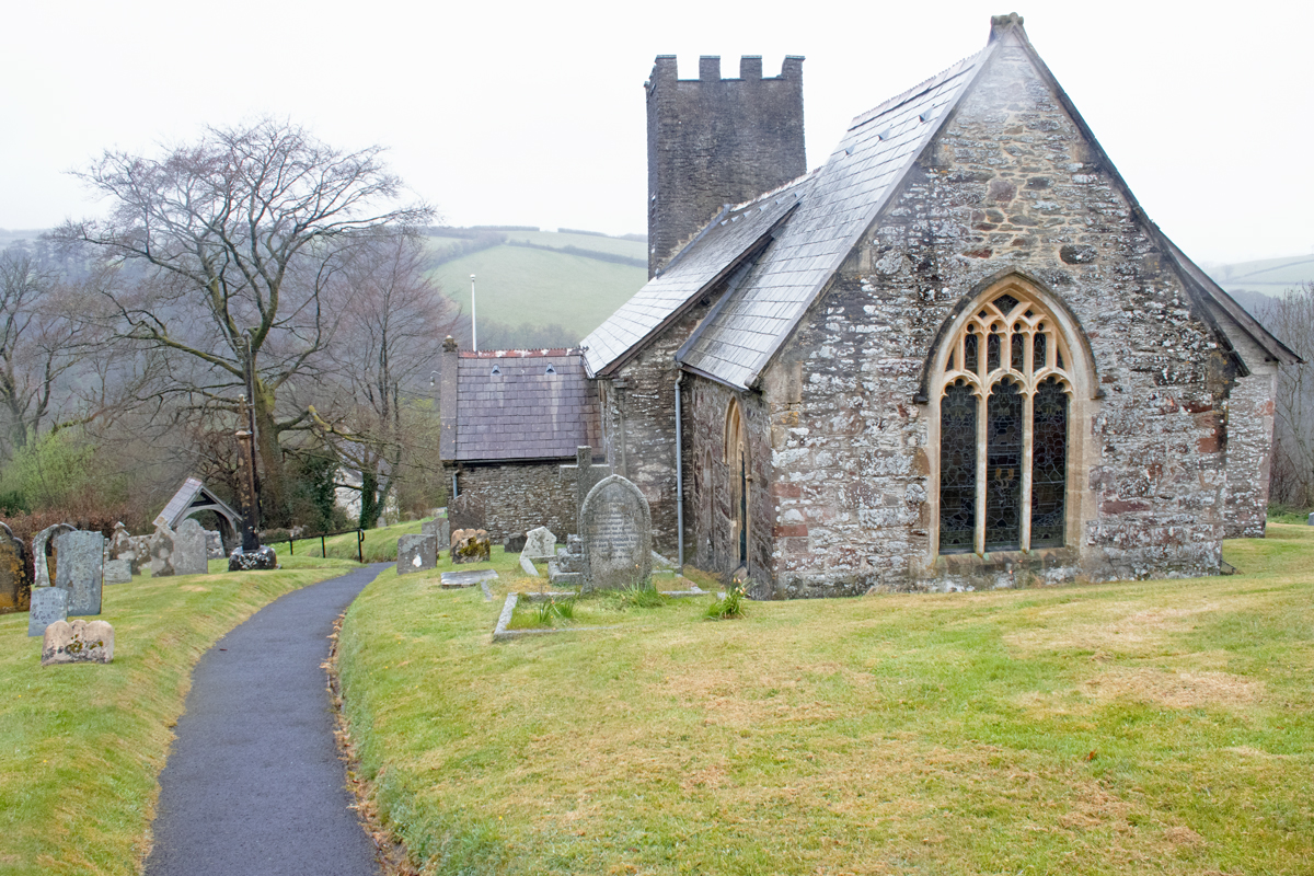
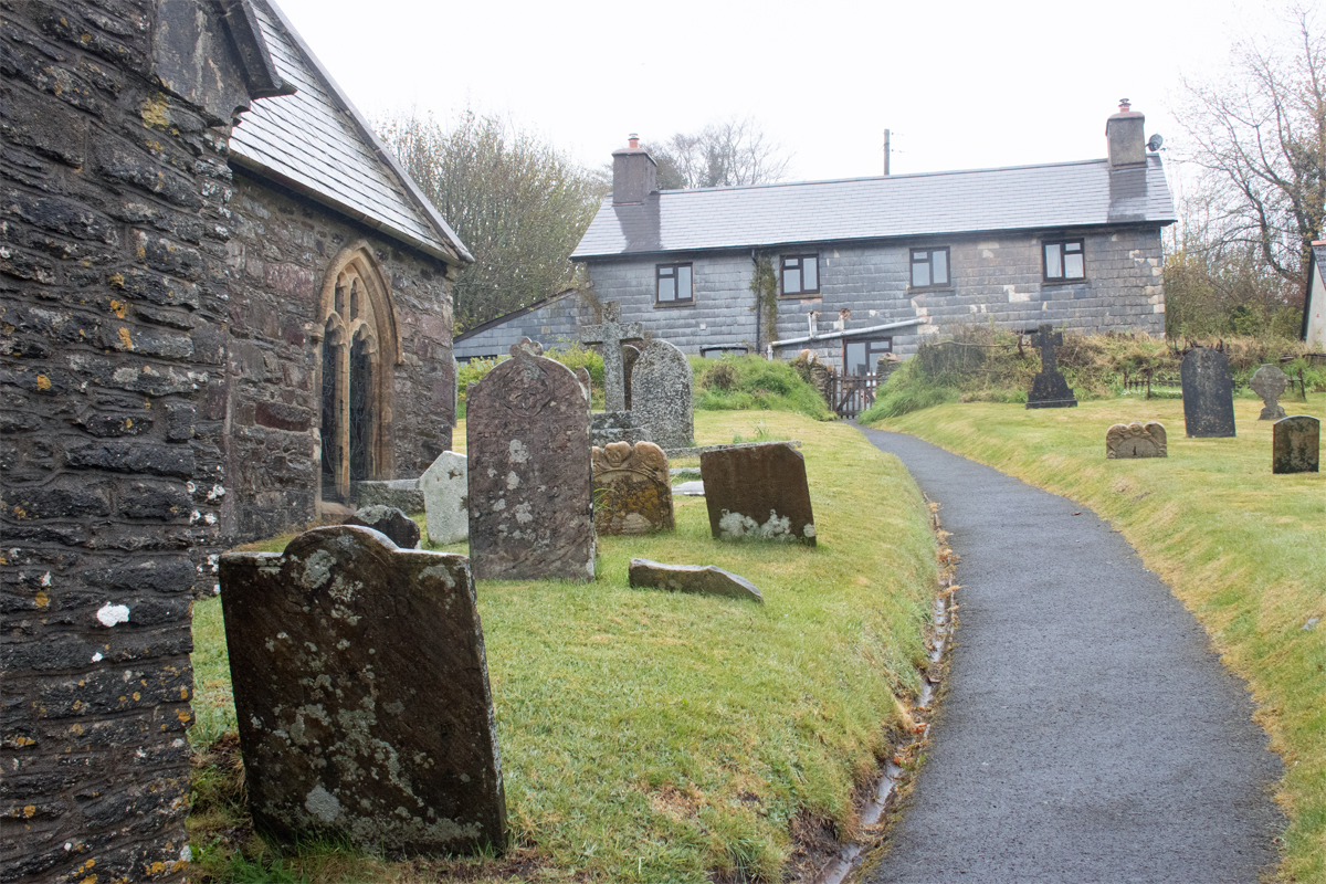
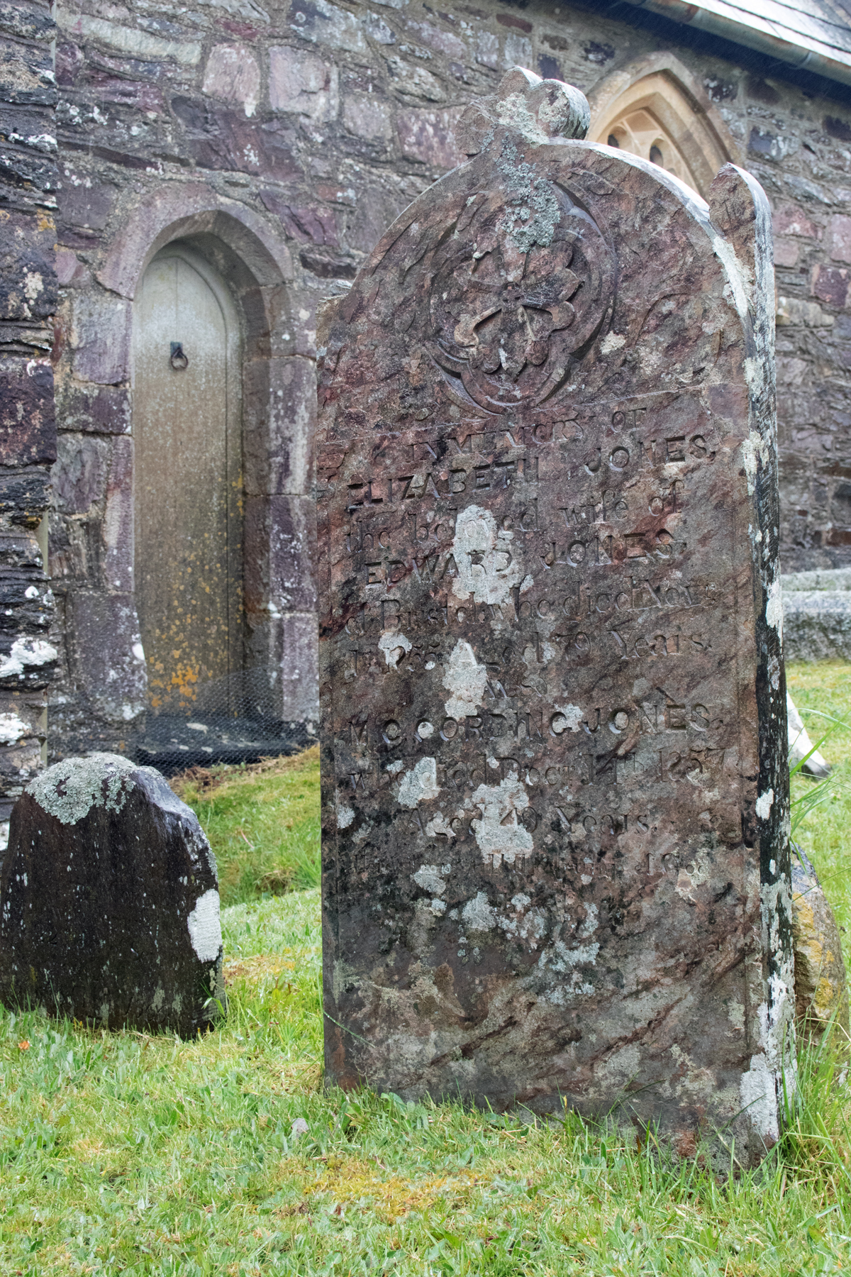
Overseeing the spiritual guidance of the community is the church of St Martin. Built in the 1840s, money for the organ, bells and spite was given by Julia Chafyn Grove (daughter of William).
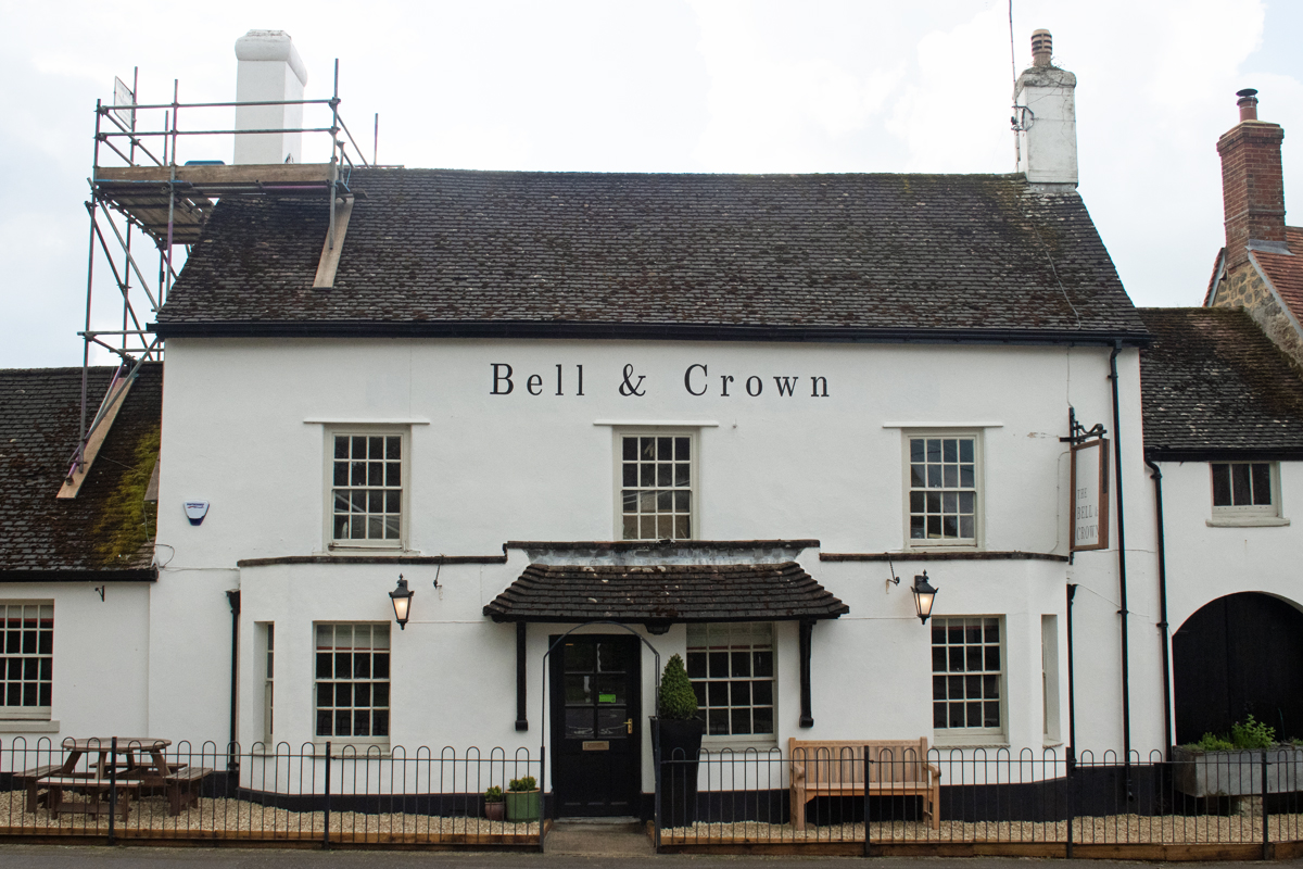
Every village has a meeting point, and for Zeals it is this Bell & Crown pub. as historic as any of the other buildings in the village, its setting adds to the ambiance; nestled beside rolling Wiltshire fields, it would have been an ideal stopping off point for local farmers at the close of their working day.
It may not technically be in Somerset itself, but Zeals is as good an end point as any for the alphabetical meander around the county. With easy access to the towns of three counties – Meare (Wiltshire), Wincanton (Somerset) and Gillingham (Dorset) – it is an ideal place to stop awhile.
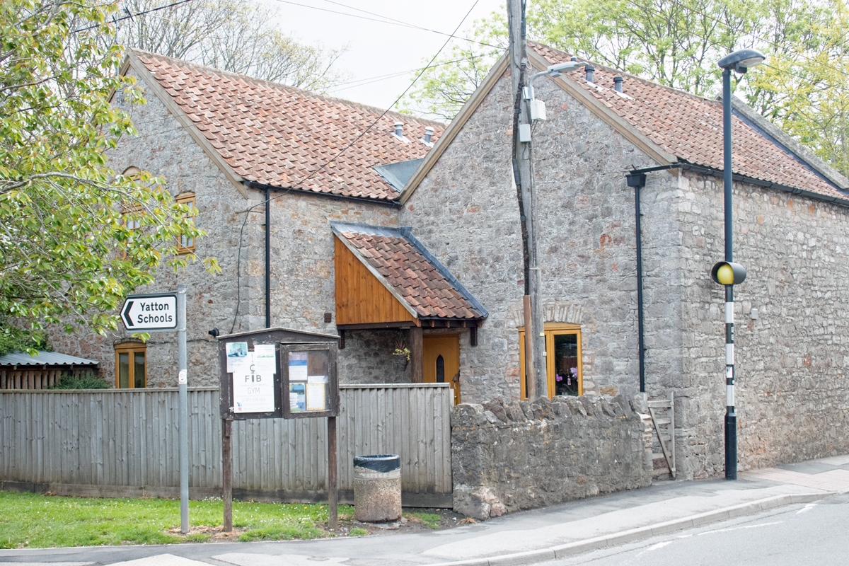
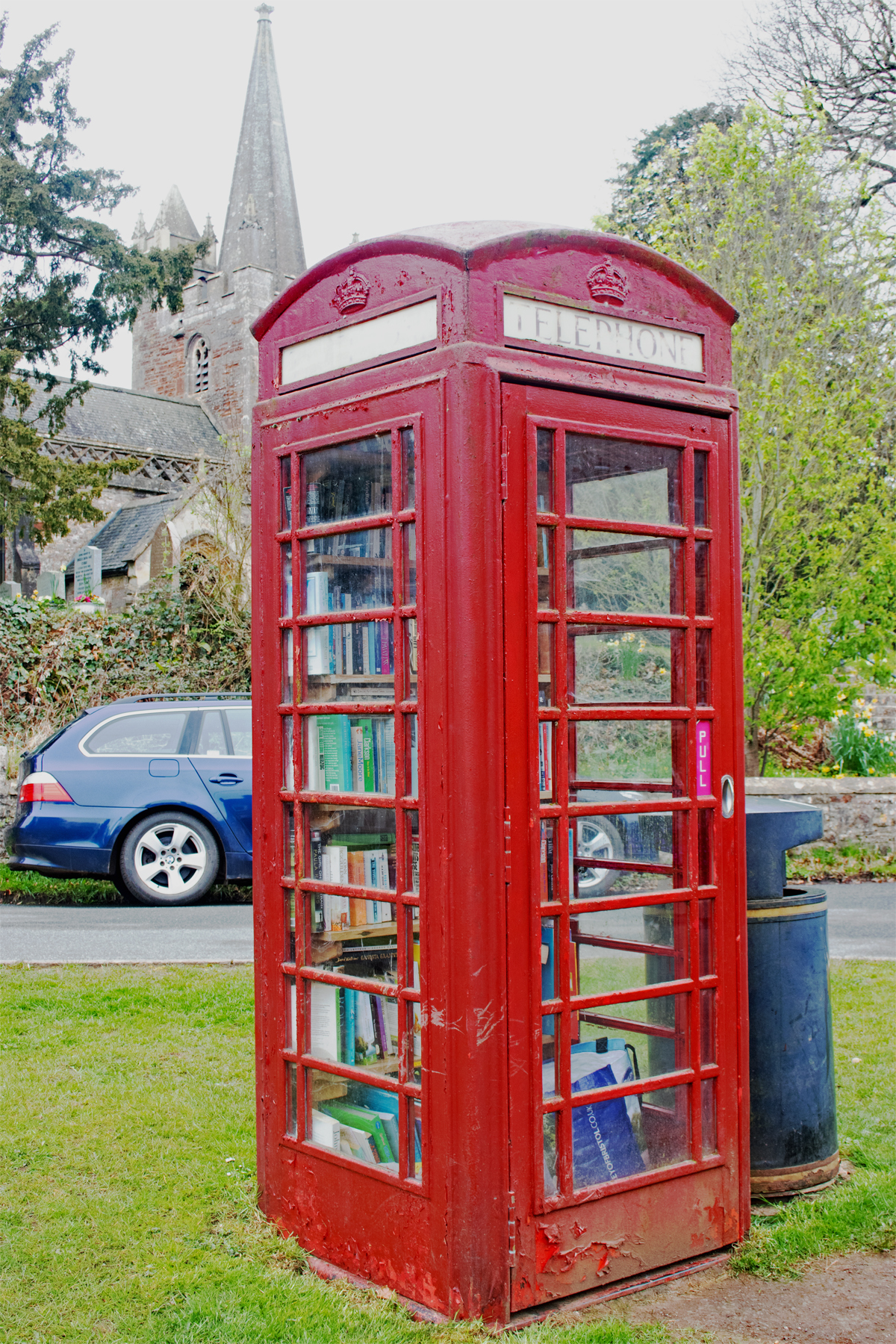
In the north west corner of Somerset lies the village of Yatton. Sandwiched between Clevedon in the north, Weston-super-Mare in the west and Bristol Airport in the east, this is a village of two halves. The older, quainter part of the village vies with an expanding new part, stretching out towards the station and beyond.
Like our previous villages of Ashcott and Othery, Yatton sits on a busy road heading towards the coast and, like those other villages, this detracts dramatically from any picture-box charm that it may once have had.
Where the village’s name comes from is lost to time. There are a number of hypotheses; it may come from gatton meaning the village on the track in Old English (which may relate to the limestone pathway to nearby Cadbury Hill); or eaton, which translates as the settlement on the river (the River Yeo meanders close by). The Domesday Book records it as Jatune, but since at least the reign of Elizabeth I, the name of Yatton has stuck.
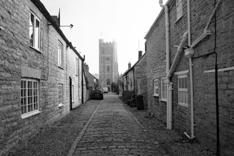
The old part of the village is typical of other places in the area; solid, stone-built cottages, originally doubling up as work premises and homes. There is a central green, along the main road, with a pathway leading to the church of St Mary’s.
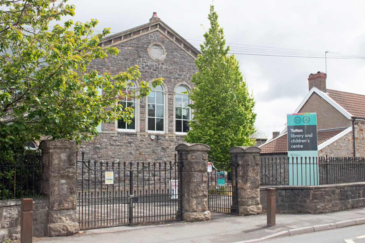
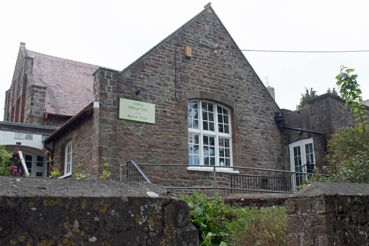
Yatton possesses the expected buildings of a village hall and public house that mark it as a village. The local library-cum-children’s centre was once the village school, but this has moved on, as much as anything, to accommodate the growing number of children.
The 1840s saw the start of a big change to the once-quiet village. The Bristol & Exeter Railway opened, and Yatton gained a station. This gave ready access to Bristol and Weston-super-Mare, and their 20 minute journey time made Yatton ideal commuter territory.
Never a small place, the population nevertheless exploded, and the village more than tripled in size between 1810 and 1910. Today, the population stands at 7,500, more than enough to make Yatton a small town, rather than a large village.
Nonetheless, the heart of Yatton retains a community feel, even if this may seem overlooked by the majority. The 2020 pandemic may have strengthened this, but if you look past the twentieth century expansion, there are welcoming nods to people looking out for one another.
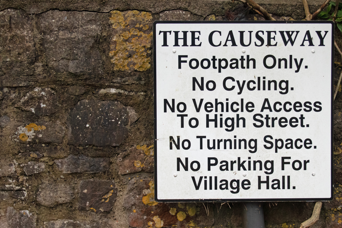
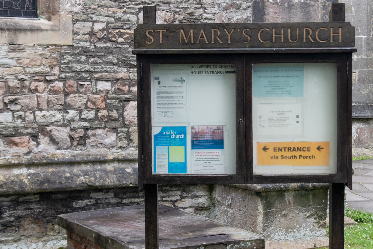
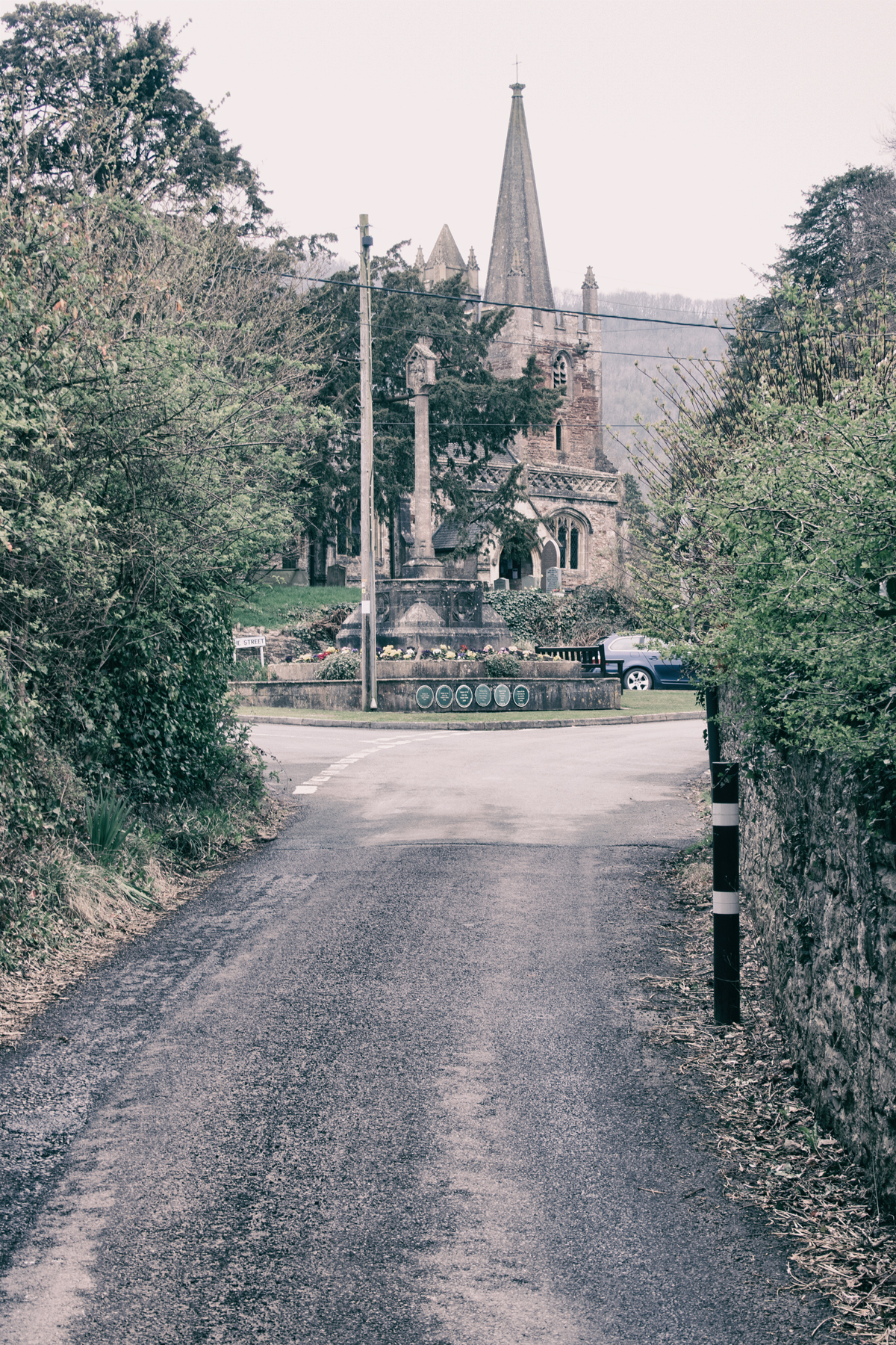
St Mary’s Church stands almost aloof from the hubbub of the main road. Next to the Rectory, at the end of a now-pedestrianised causeway that leads from the Village Hall, there is a second green, a quiet place to pause and reflect.
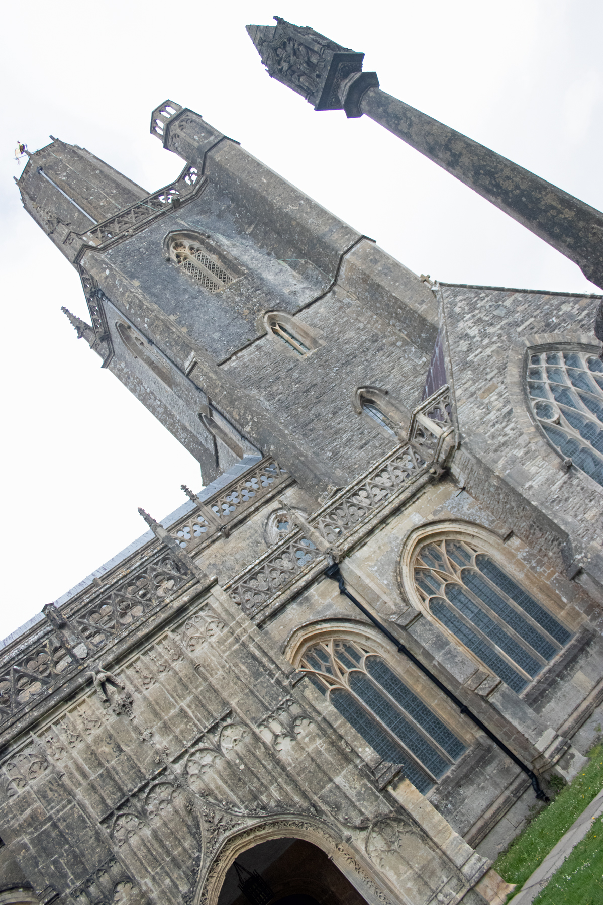
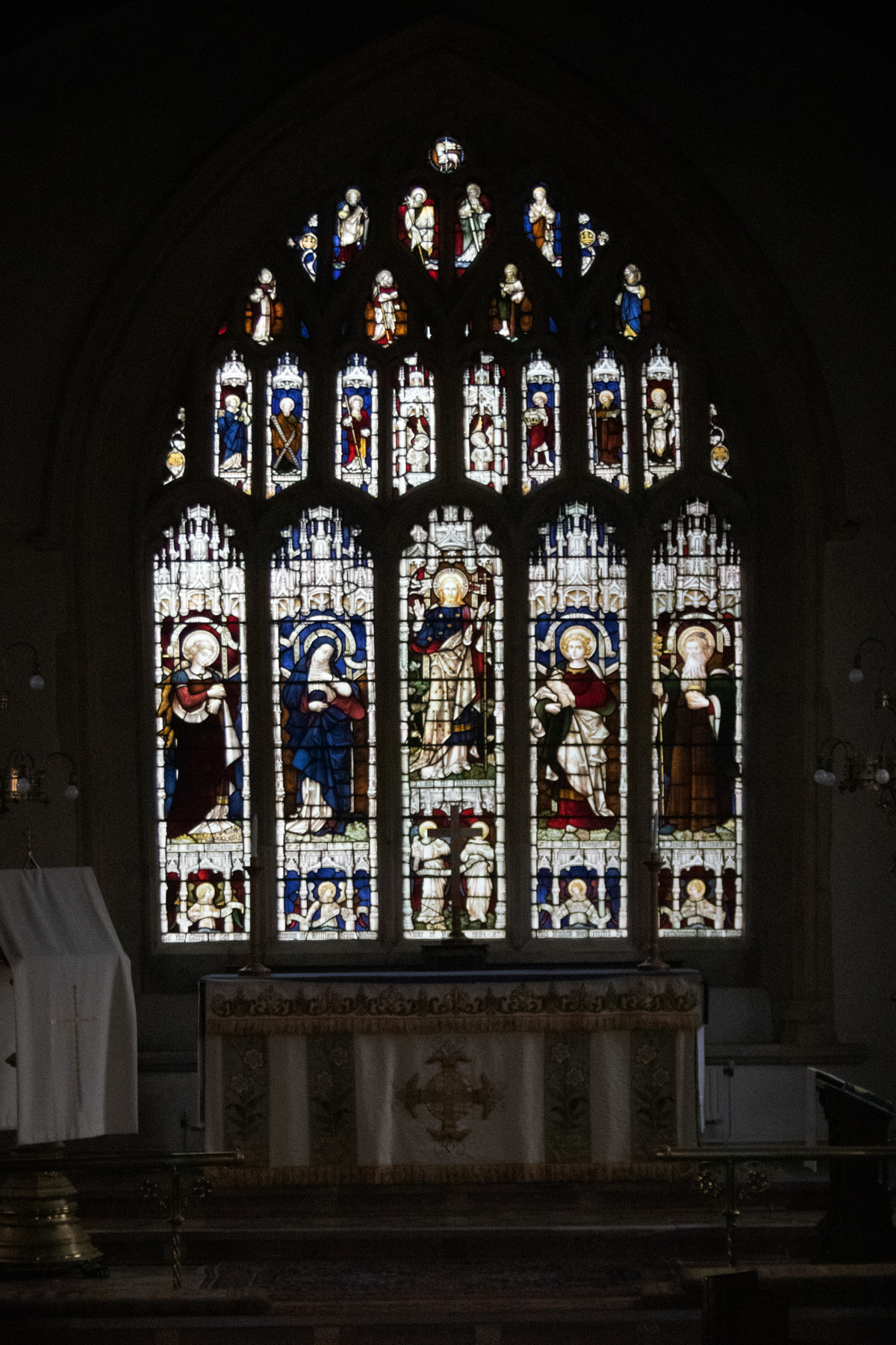
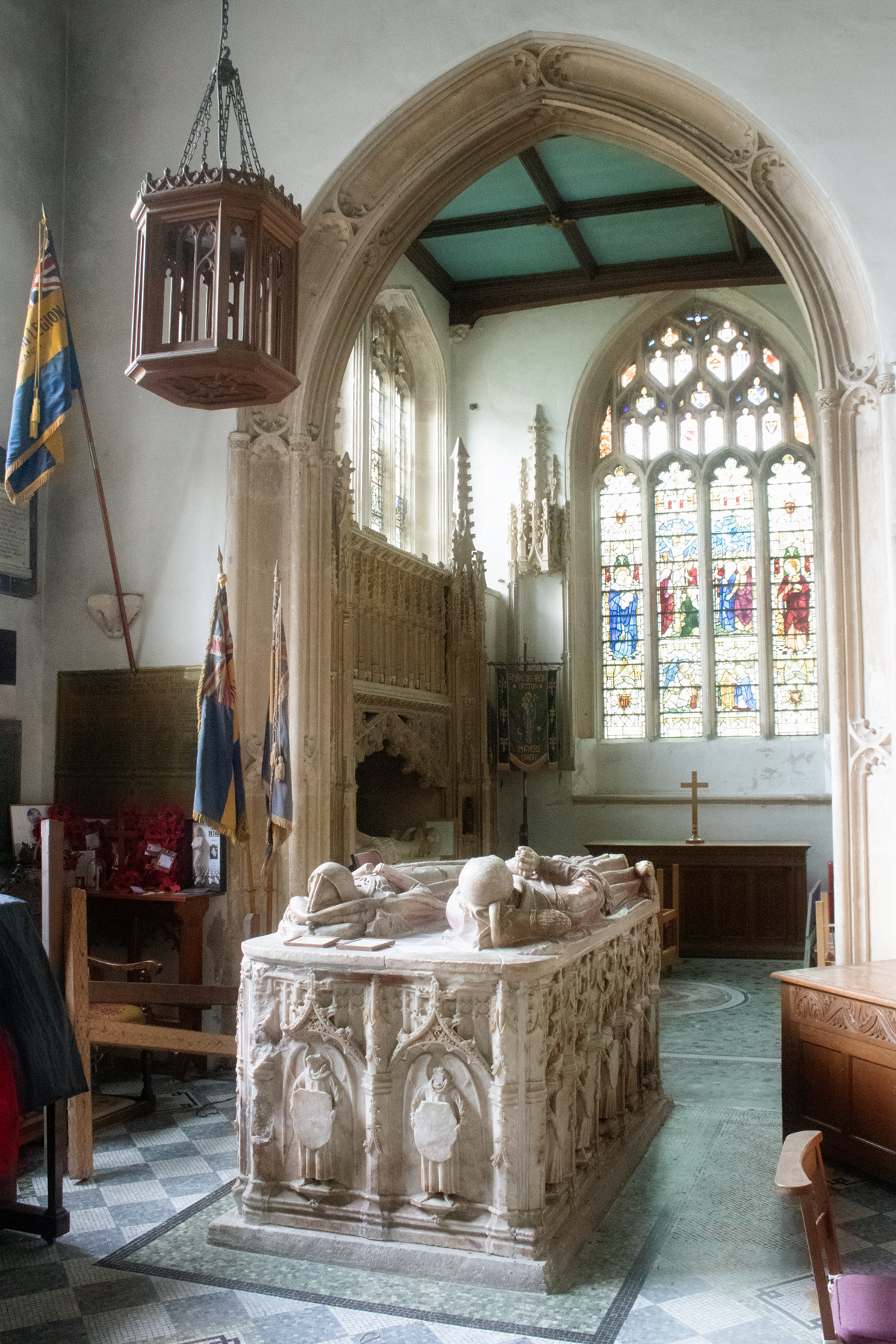
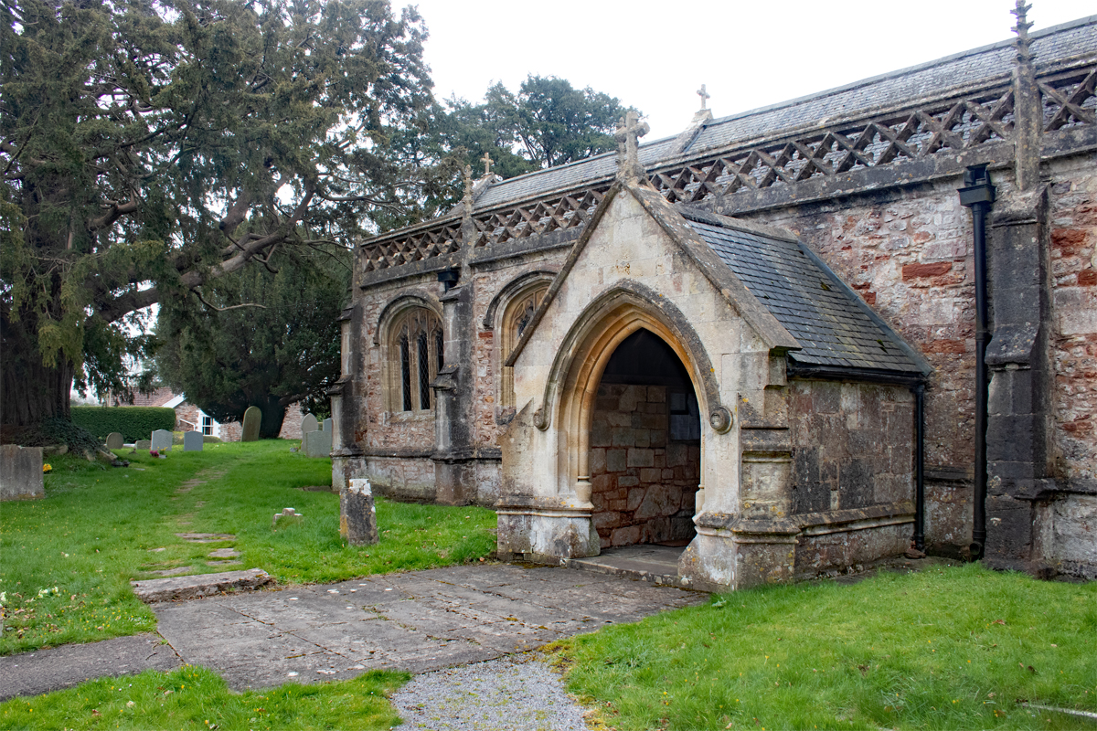
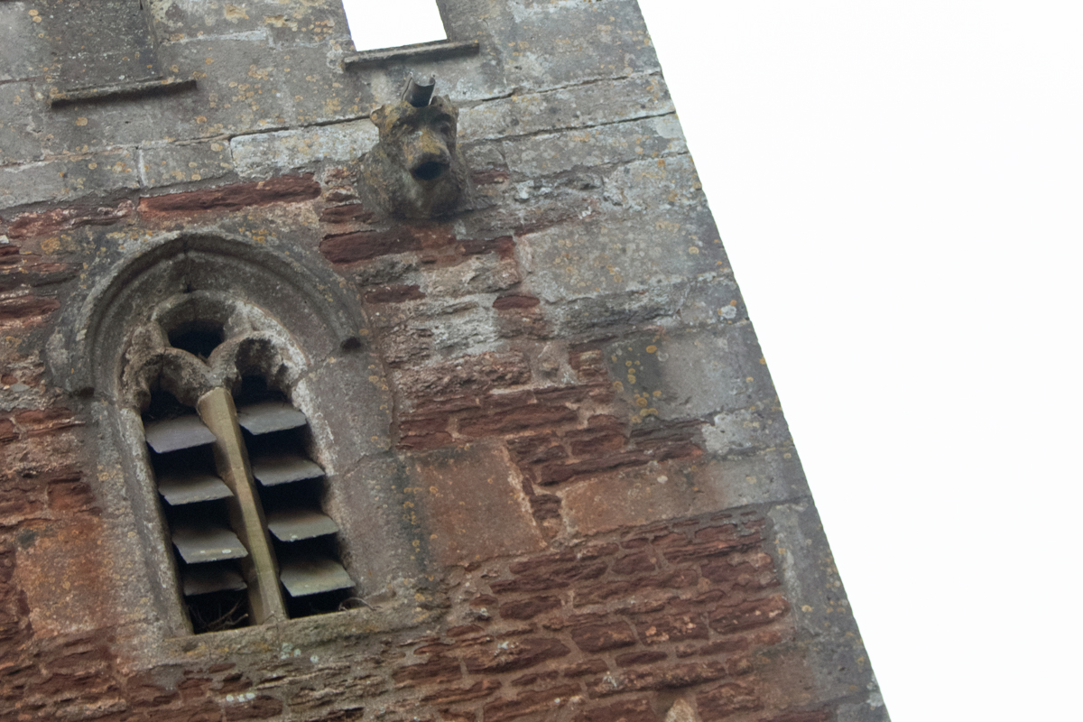
Turn your face away from the green, and you are confronted by the Cathedral of the Moors. The Grade I listed church oversees the religious instruction of the villagers, and is large when you compare it to the size of Yatton itself.
As you would expect, inside you will find peace and tranquillity, but also a sense that money built the place, and those with the money wanted villagers to know it. The stained glass windows are adorned with the coats of arms of the local lords of the manor, and a large monument to one of those lies as a focal point to one of the chapels.
This was a church built to be seen; from nearby Cadbury Hill, it is the largest structure to be seen on this side of the Bristol Channel.
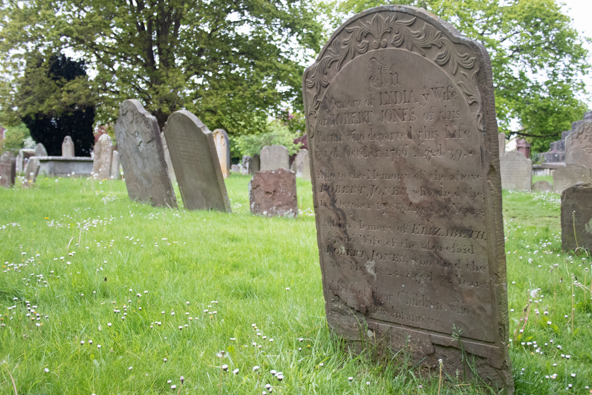
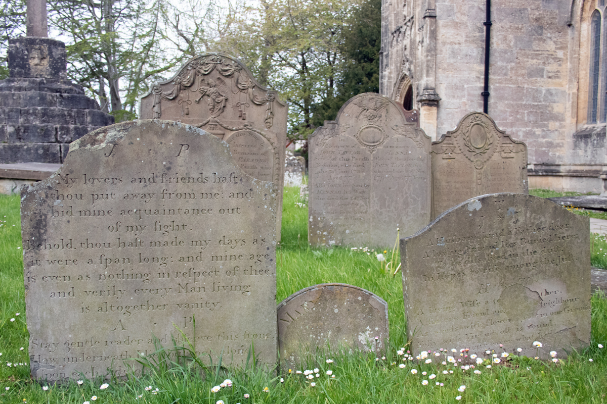
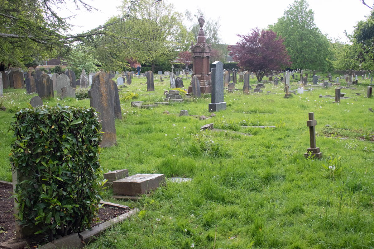
The large graveyard surrounding the St Mary’s is, as you would expect, a place of reflection. The ornately scripted headstones underline the wealth of the families in the area from centuries ago. The sense of peace, however, is detracted somewhat by the expanse of Yatton; while smaller villages might welcome people to wander through the stones, here, sadly, the graveyard acts as a cut through from housing estate to bus stop and railway station.
There is no escaping from the fact that Yatton is not your typical country village. It might be a large, bustling place, but there is a general sense that that bustle is happening elsewhere. The heart of the village appears readily overlooked – people wander past the old stone houses on their way to somewhere else, faces buried in their phones, ignoring the history all around them.
And this is what saddens me about the place. You can sense an intention to retain a community feel, but you can also sense that this is a desperate, last-ditched attempt, and that, for Yatton at least, the opportunity may already be lost.
Okay, so it’s a slight cheat, but, as there are no villages in Somerset beginning with the letter X, one starting with an Ex serves as a good alternative.
Set on the side of a steep valley in the heart of Exmoor, the village of Exton includes the neighbouring hamlet of Bridgetown. Not surprisingly, the village gets its name from the river Exe, which runs through the National Park; Bridgetown has a bridge that goes over the river to the west.
Exton itself is tiny; it has a population of less than 300 people, and is, in effect, made up of two roads; the first runs north-south along the bottom of the valley, the second climbs east, up a steep hill into the countryside.
There is little new about the buildings in the Exton part of the village village; they are all original, stone built properties, and on the drive up the hill, Exton feels more like a hamlet than a village.
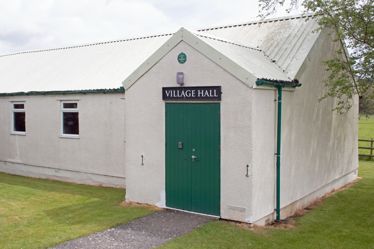
But a village it is; the Badger’s Holt inn and village hall are located along the valley bottom, while the upper part of Exton includes the village church.
The church itself is dedicated to St Peter and dates back to Norman times; while their was an extensive Victorian renovation, the majority of the church dates to between the 13th and 15th centuries.
What grabs you about the church, however, are the views across the Exe valley. The well-kept graveyard is hilly, and most of the village’s houses are only visible as rooftops, with the western side of the valley visible in the distance.
Above all, however, Exton is a country village. Its location has inhibited its growth, and this is in no way to its detriment. You either drive through it on your way from Dunster to Tiverton, or you attempt a sharp turn and steep hill to the main amenities.
Either way, it’s definitely worth a pause, and it’s well worth a stop off on your journey.
There is no village beginning with the letter V in Somerset, so here is another one that starts with a W.
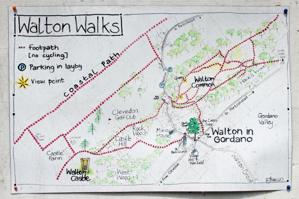
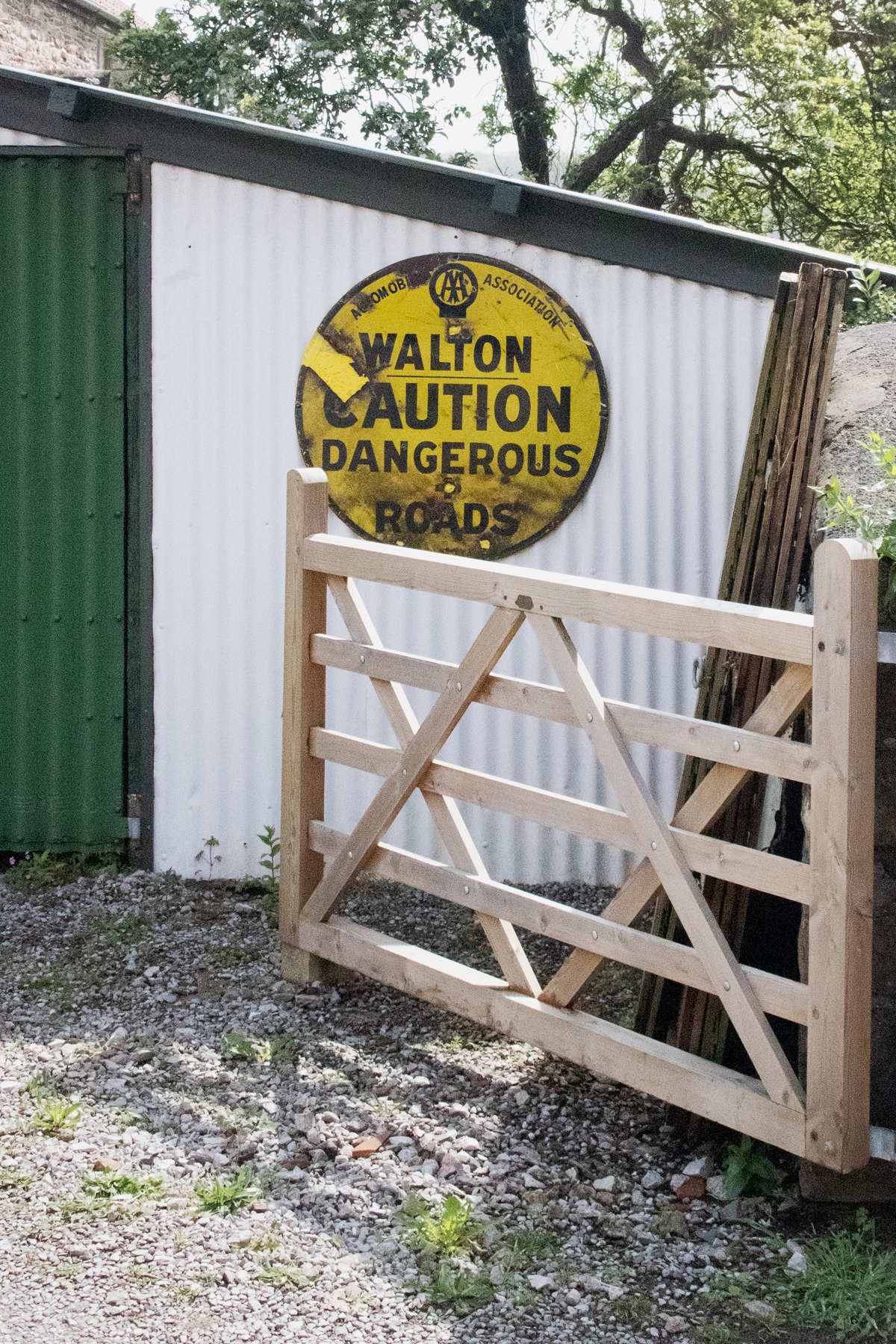
In the north west of the county, between Clevedon and Portishead, lies the charmingly named Walton-in-Gordano. Named after the river valley in which it sits – to nearby villages of the same name – Walton-in-Gordano is a small, picturesque place.
The village has a small population – less than 300 people – but there is a real sense of community about it. While I was there, a couple of the locals were keen to know what I was photographing and why, suggesting other spots I could photograph in the area.
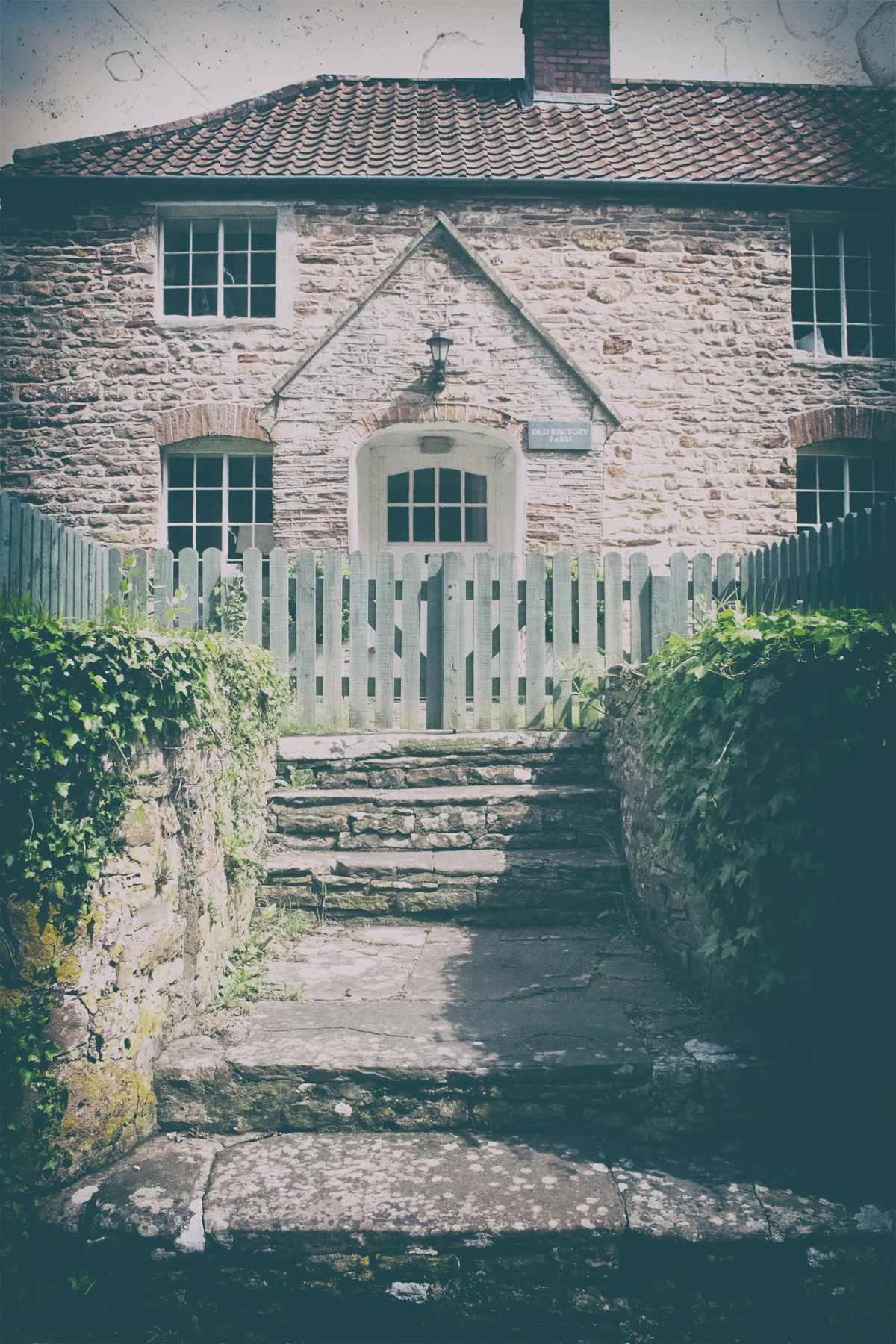
There is a sense of history about the place too; the old village shop may be gone, but the house that replaced it sits proud in his heritage.
The heart of the village is the local church, St Peter & St Paul. Originally a grain store, it changed use when the parish church, in nearby Walton Clevedon, was razed to the ground by fire. It was rebuilt, but by that point, the new building in Walton-in-Gordano had established itself as the main place of worship.
A short walk from the village centre is Walton Castle. Originally built as a hunting lodge in the fifteenth century, it appears from the main road like a folly on the hill, and it now available to hire out for functions.
Quiet and unassuming, Walton-in-Gordano has the charm of a small village, and the feel of a community. It also has links to the music industry, as it was the birth place of Geoff Barrow, co-founder of the influential trip-hop band Portishead (who took their name from the nearby Somerset city).
Walton-in-Gordano is certainly a pleasant place to visit, and acts as a good starting point for coastal walks south to Clevedon or north to Portishead.
There are no villages beginning with the letter W in Somerset, so we are moving on to W in the alphabetical tour.
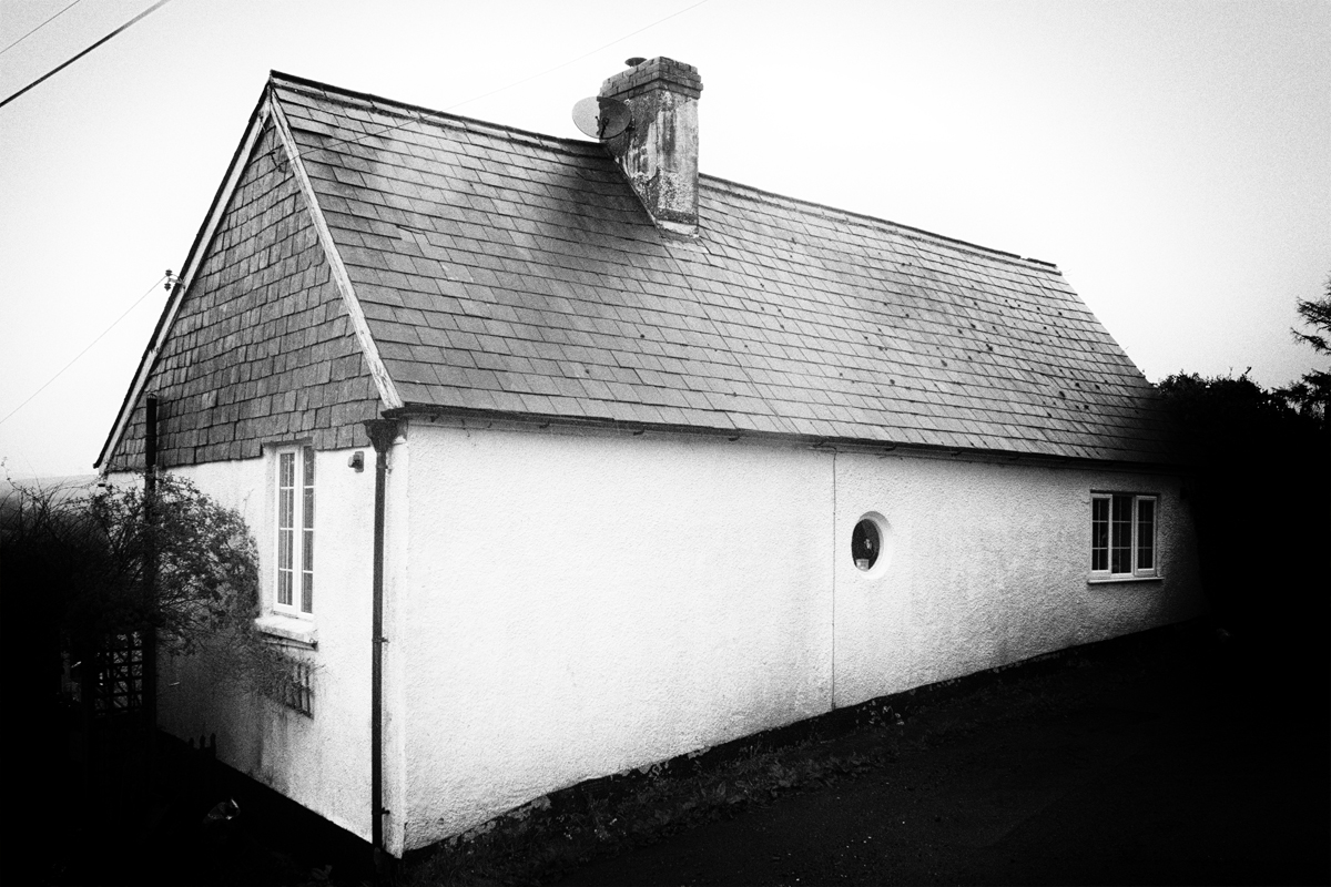
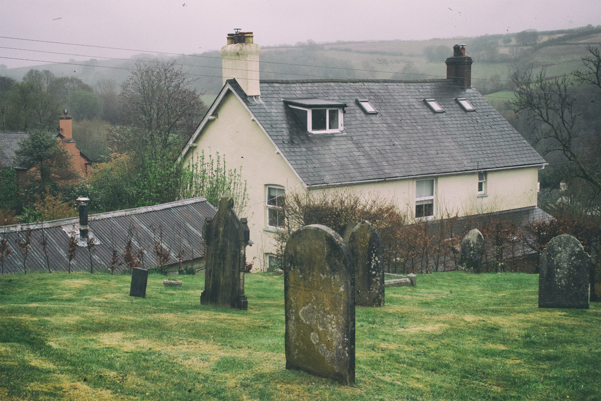
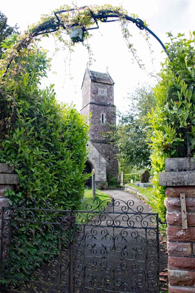
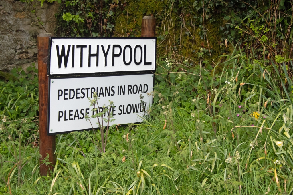
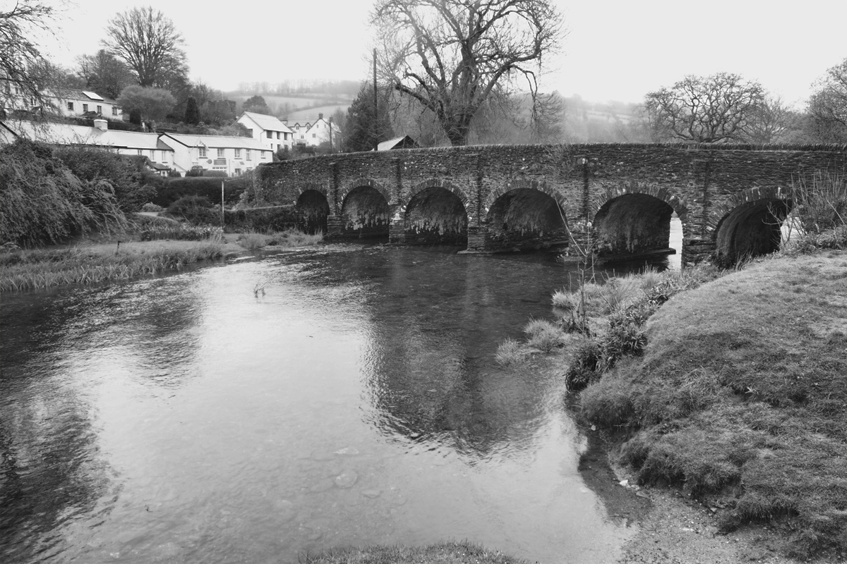
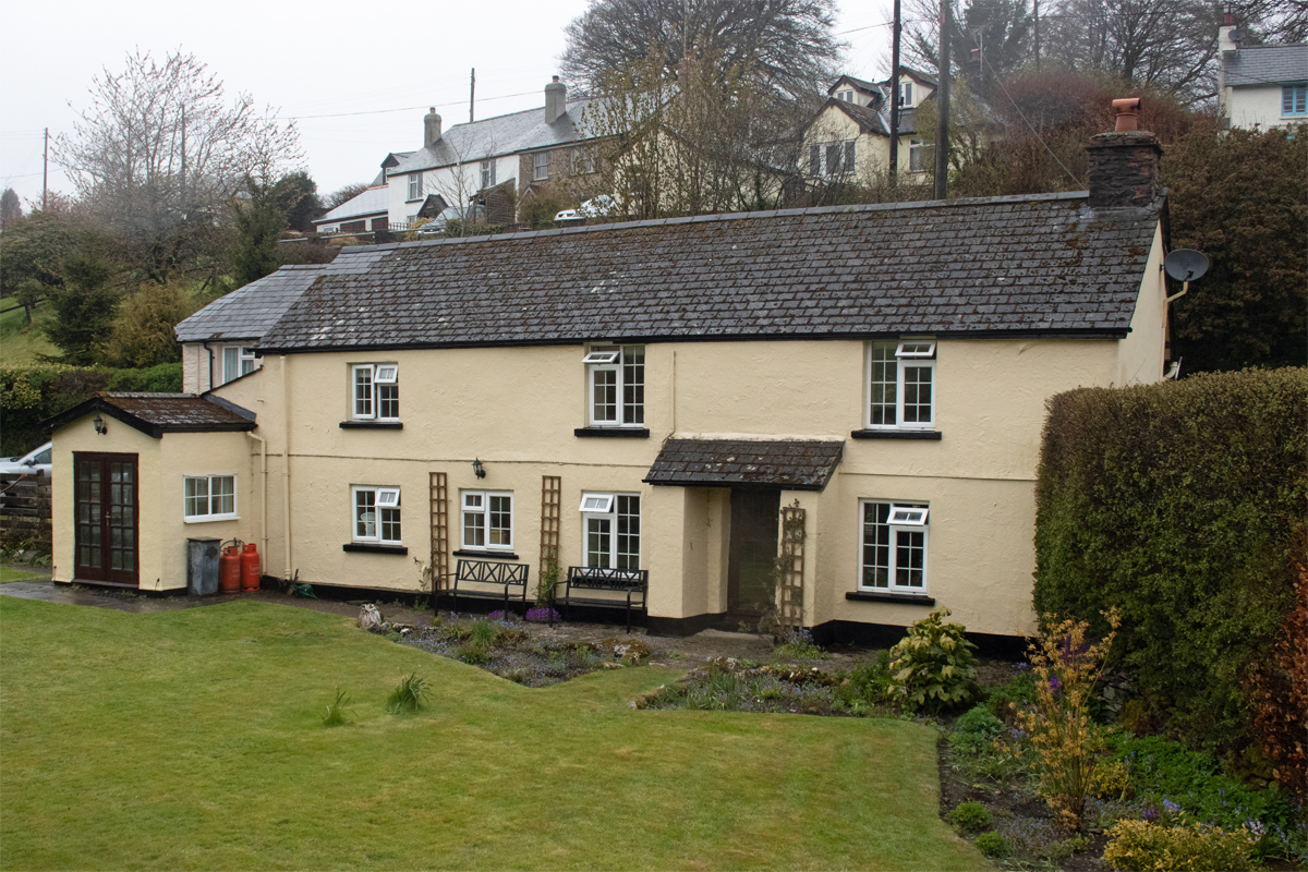
In the far west of the lies the quiet village of Withypool. With a history dating back to the Bronze Age, the name derives quite literally – a withy is a willow branch and the pool related to the River Barle, which flows through the village.
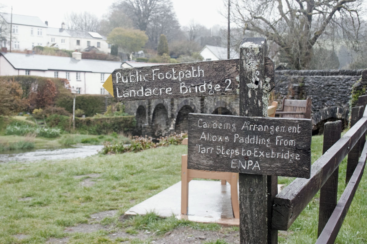
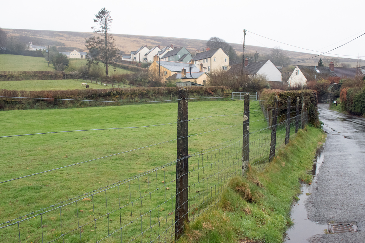
Withypool occupied a truly beautiful part of Exmoor, and, on a less damp and dismal day, it would have been a pleasure to explore its lanes and walks more readily. It is situated in the quiet countryside, around halfway between Minehead to the north east and Barnstaple to the west, and has a population of around 200 people. It does have, however, the required constituents that make up a village; a church and a meeting point.
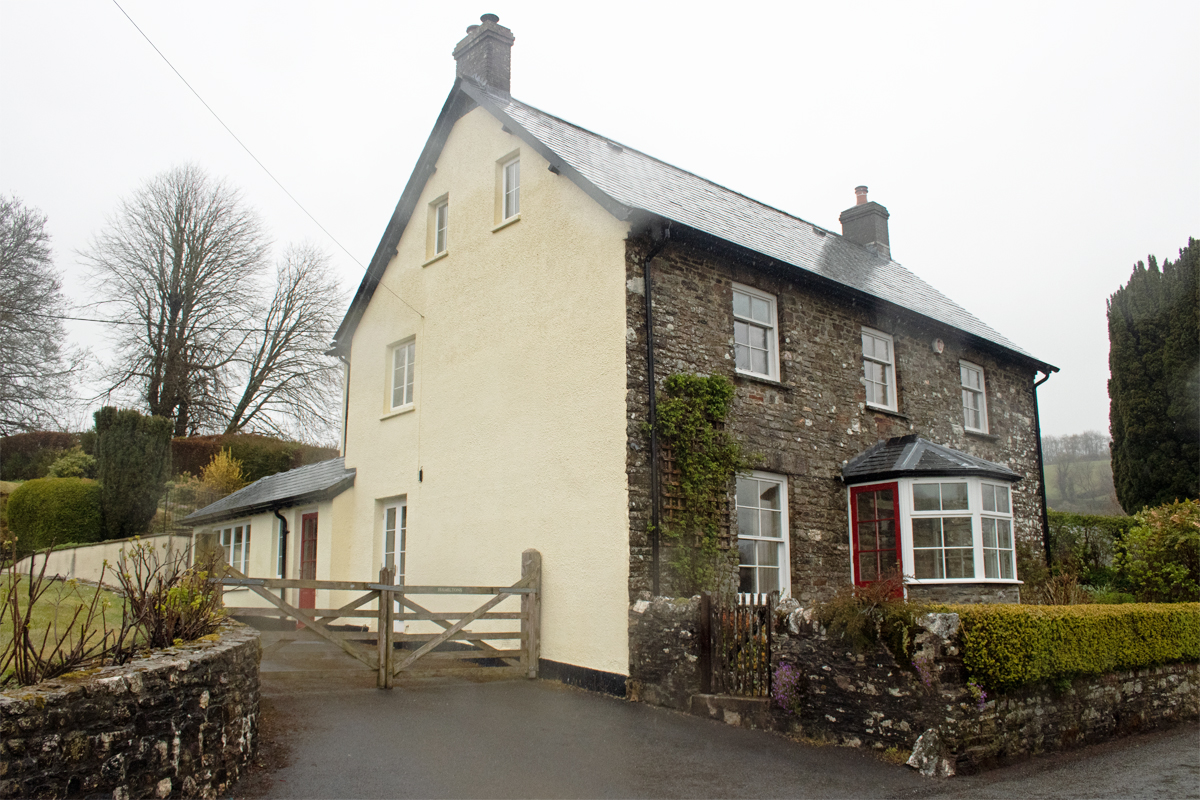
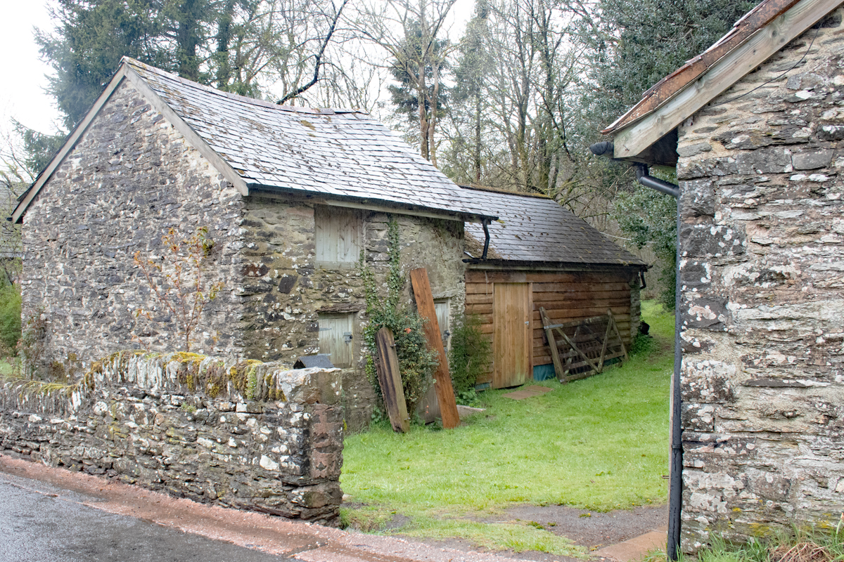
Withypool’s houses are typical, stone-built cottages. They wind down the valley, from one side of the valley, across the river and up the other side. These are workers cottages, and give the village a real sense of community, even in the pouring rain.
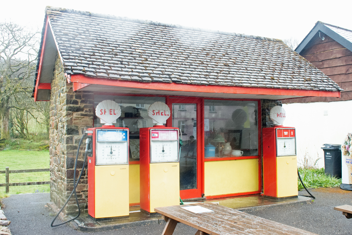
At the heart of Withypool is a well-used post office and store. Outside stands an old-fashioned petrol pump, and on the other side of the road, next to a small café, is what was another petrol station; Exmoor is a place for tourists, and, situated at the heart of the rolling countryside, Withypool would have been the ideal spot to refuel.
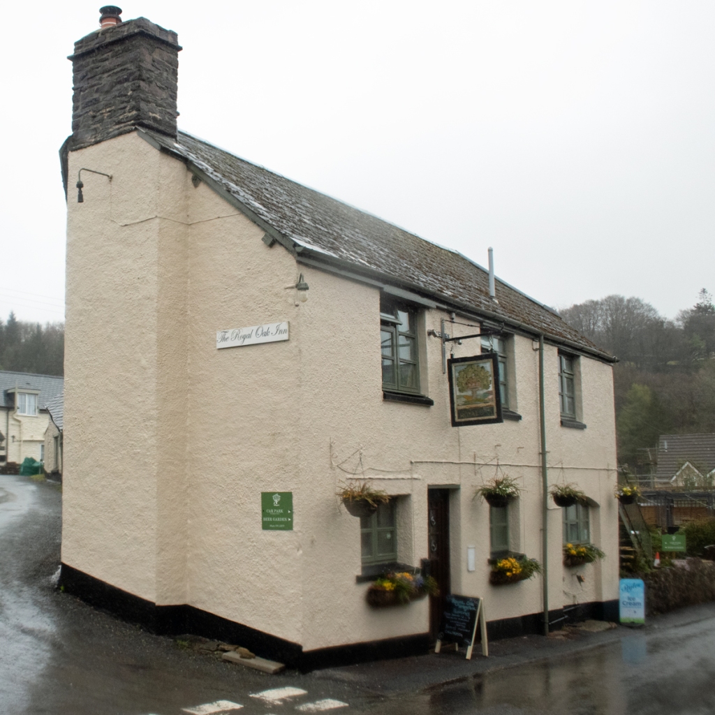
The main focal point for the villagers themselves, however, would have been the local pub. This particular pub, The Royal Oak Inn, had a lot of its own stories to tell, though.
Author R. D. Blackmore wrote part of Lorna Doone in the bar, while artist Sir Alfred Munnings, celebrated for his portraits of horses, had a studio in the loft.
In the 1930s, the inn was owned by Gwladys and Maxwell Knight, a spy-ring leader and radio broadcaster upon whom Ian Fleming based the character of James Bond’s boss, M.
During the Second World War, Woolacombe beach, situated a short drive tot he east, was used to simulate the invasion of Normandy, and General Dwight Eisenhower planned some of the operation from The Royal Oak.
The spiritual centre of the Withypool lies not far from the Royal Oak. The Church of St Andrew is of medieval origin, although the main tower has been restored and rebuilt a couple of times since then, most recently at the start of the twentieth century.
The approach to the church is up a steep path; while a relatively small building, its location has been designed to dominate and spread awe. The hill is stands on ensures it can be seen from most of the village, ready to call everyone to services and make them difficult to avoid.
Having said that, the views themselves are stunning, underlining how beautiful a setting the village is in.
Withypool is definitely a place to stop off and explore, if you are ever in the Exmoor area. The ting to remember is that there is no such thing as bad weather, only bad clothing, so make sure you’re prepared for whatever the Moor decides to throw at you.
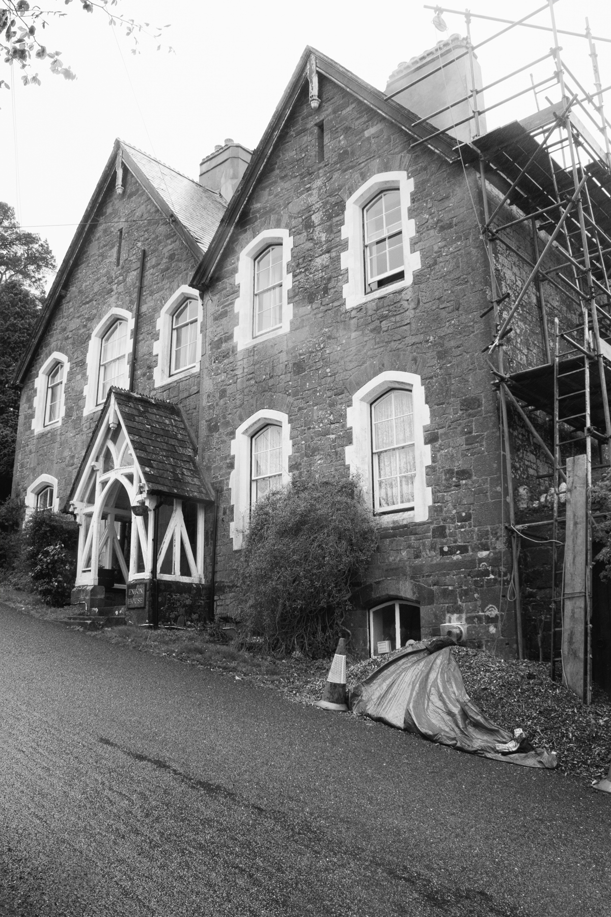
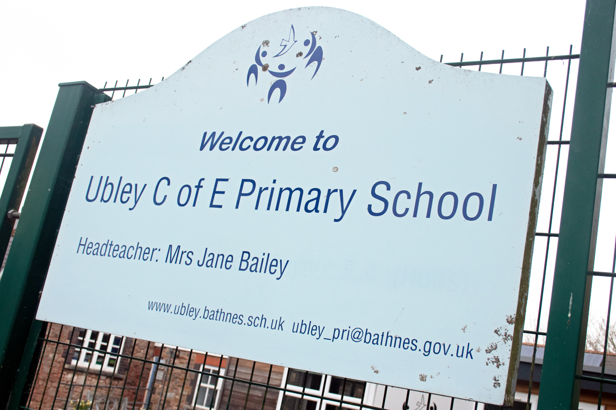
Nestled under the northern slopes of the Mendips, close to the Blagdon Lake in the Chew Valley, lies the quiet and unassuming village of Ubley.
The derivation of the village’s name is lost to time: in the 10th century it was known as Hubbanlege; a century later is was Tumbeli (or “rolling meadow” in old English). The name may come from local king Ubba, although it may also have been given the name in Veb, after the Latin word for lead, from the lead miners who lived in the area.
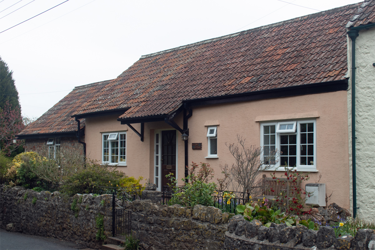
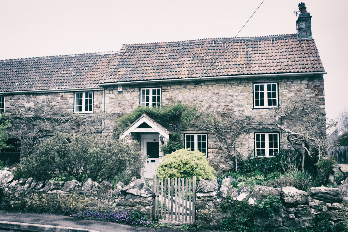
Today, the village has a population of around 330 people, most of whom live in old, stone built houses around the village green.
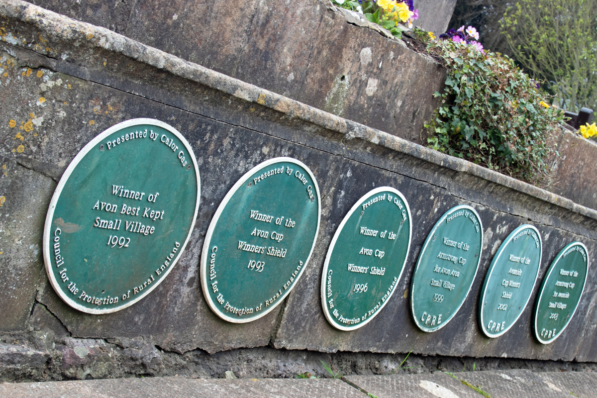
Ubley is a village that takes pride in its appearance, although the Best Kept Village signs date from twenty or thirty years ago. It is a quiet place in a quiet valley, and one with a community feel that is even more apparent because of the events of the last year or so.
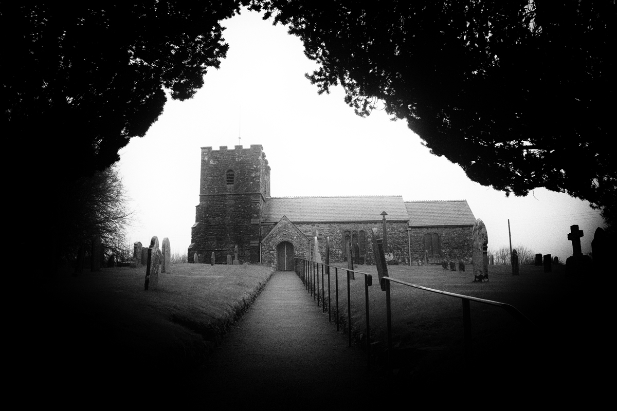
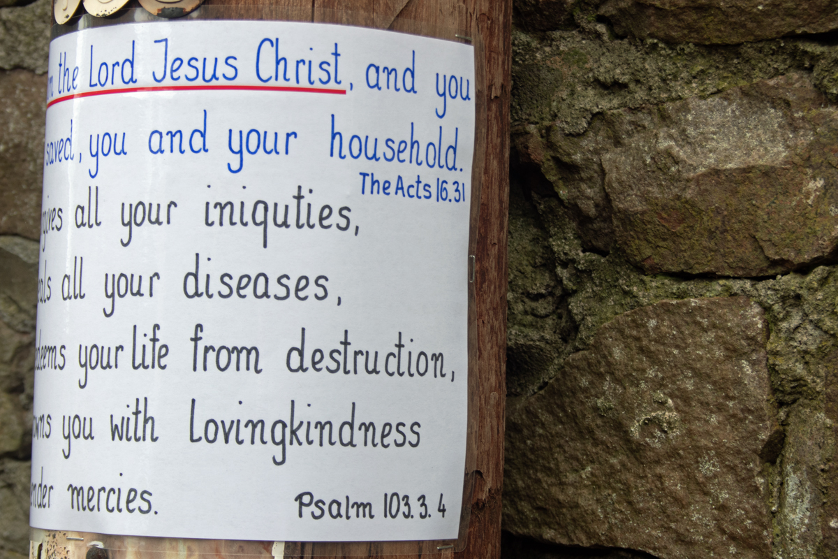
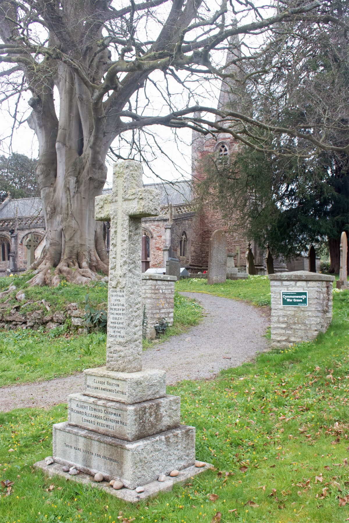
At the heart of the village lies St Bartholomew’s Church. Grade I Listed, it was closed on the day I visited, but was being frequented by a large number of crows, diligently building nests within its open steeple.
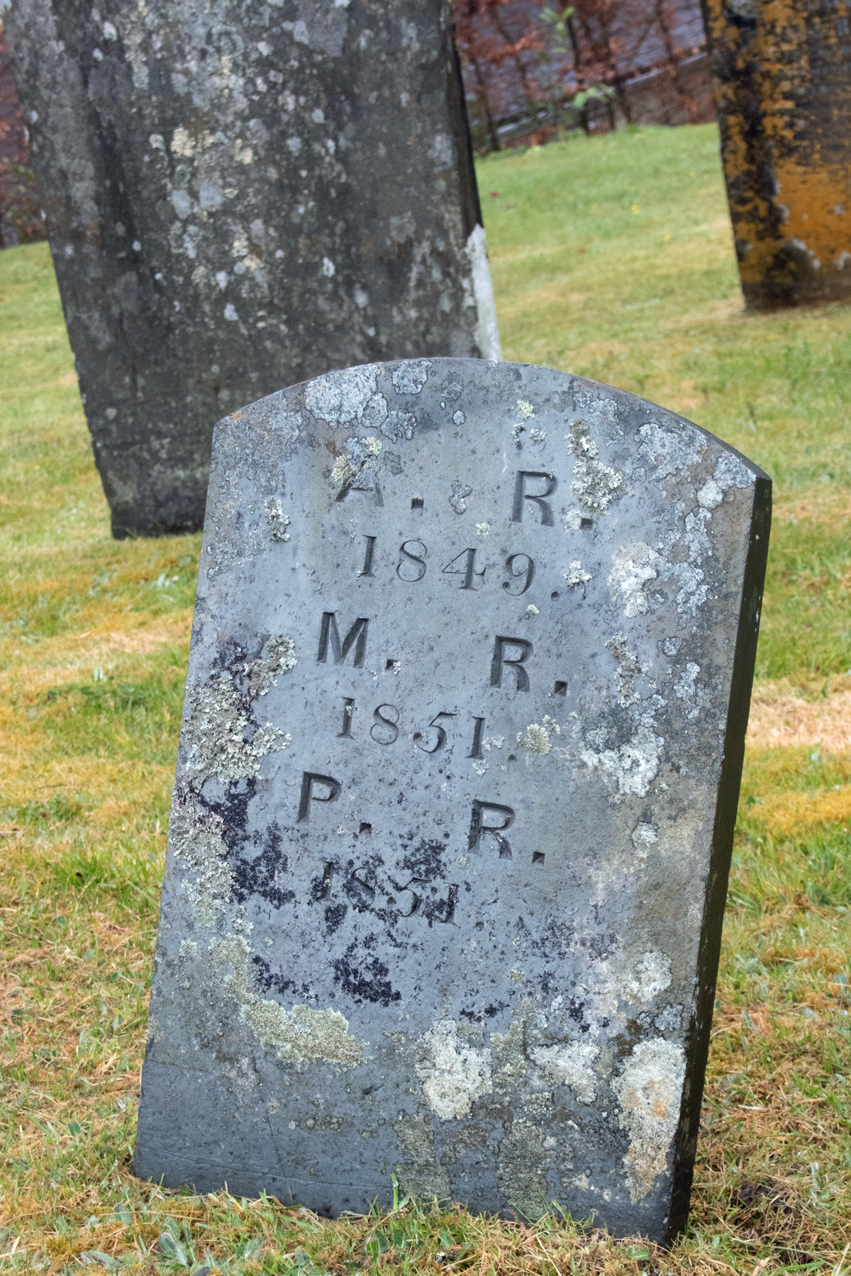
The grounds around the church are a peaceful, safe haven for those who have been buried within them over the years.
The village War Memorial remembers the five villagers who died in the First World War. There is only grave to a fallen solder in the churchyard and, ironically, that is for Second Lieutenant Alfred Newington, who wasn’t even a local man. (You can read more about his life and story by clicking on his name.)
Within easy reach of both the Mendips and Blagdon Lake, Ubley is worth a visit; it provides plenty of opportunity for walking and cycling. It is far enough away from the hubbub of the main Weston to Bath road, but accessible to it, to warrant stopping off.
Over half way through the alphabet, and it’s the last of four recaps of the alphabetical journey around Somerset so far. Lockdown 2021 means that I have been unable to complete the A-Z, but this brings us up to date with the stop offs so far.
Click on the links to see the full post for each village.