Lockdown 2021 has given a bit of an enforced break on my photographic journey around the villages of Somerset, so I thought it might be good to have a bit of a catch up of the places I have visited so far.
Over the next four Sundays, therefore, I will be having a bit of a recap.
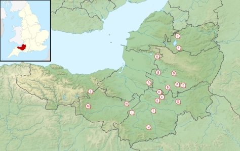
Today, we look at A to E. (Click on the links to see the original posts.)
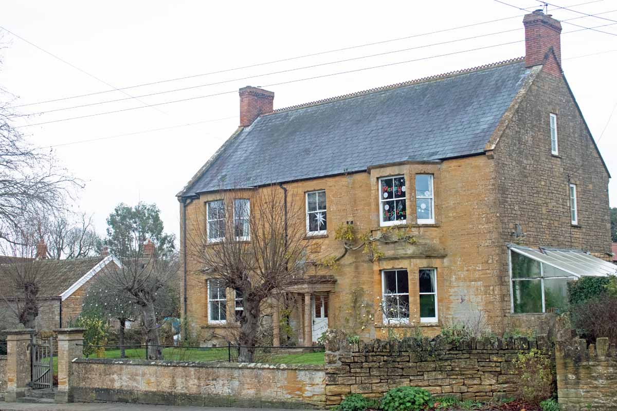
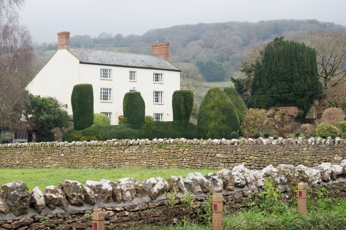
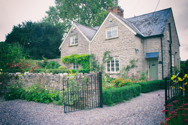
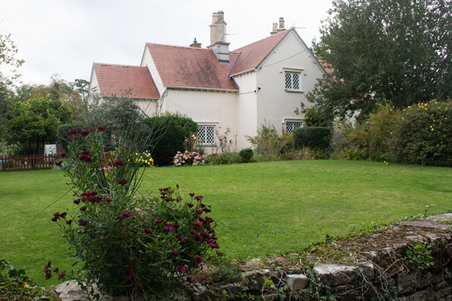
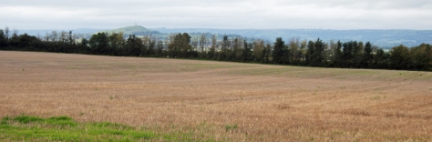
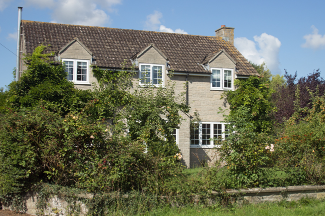
Just to the north west of Yeovil lies the quiet village of Tintinhull. The derivation of its name is steeped in mystery – ‘tin’ meant ‘fort’ in old English and ‘examine’ in Saxon, while ‘hull’ is an old term for ‘hill’. The village sits in the lea of Ham Hill, so a combination of elements seems likely.
Tintinhull has a population of just over a thousand people, and the manor dates back to pre-Norman times. The local Saxon tribes used to avoid siting their villages on the old Roman roads, so the village sits just away from the Fosse Way (now the A303).
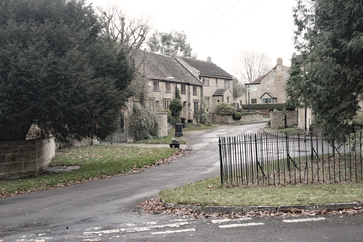
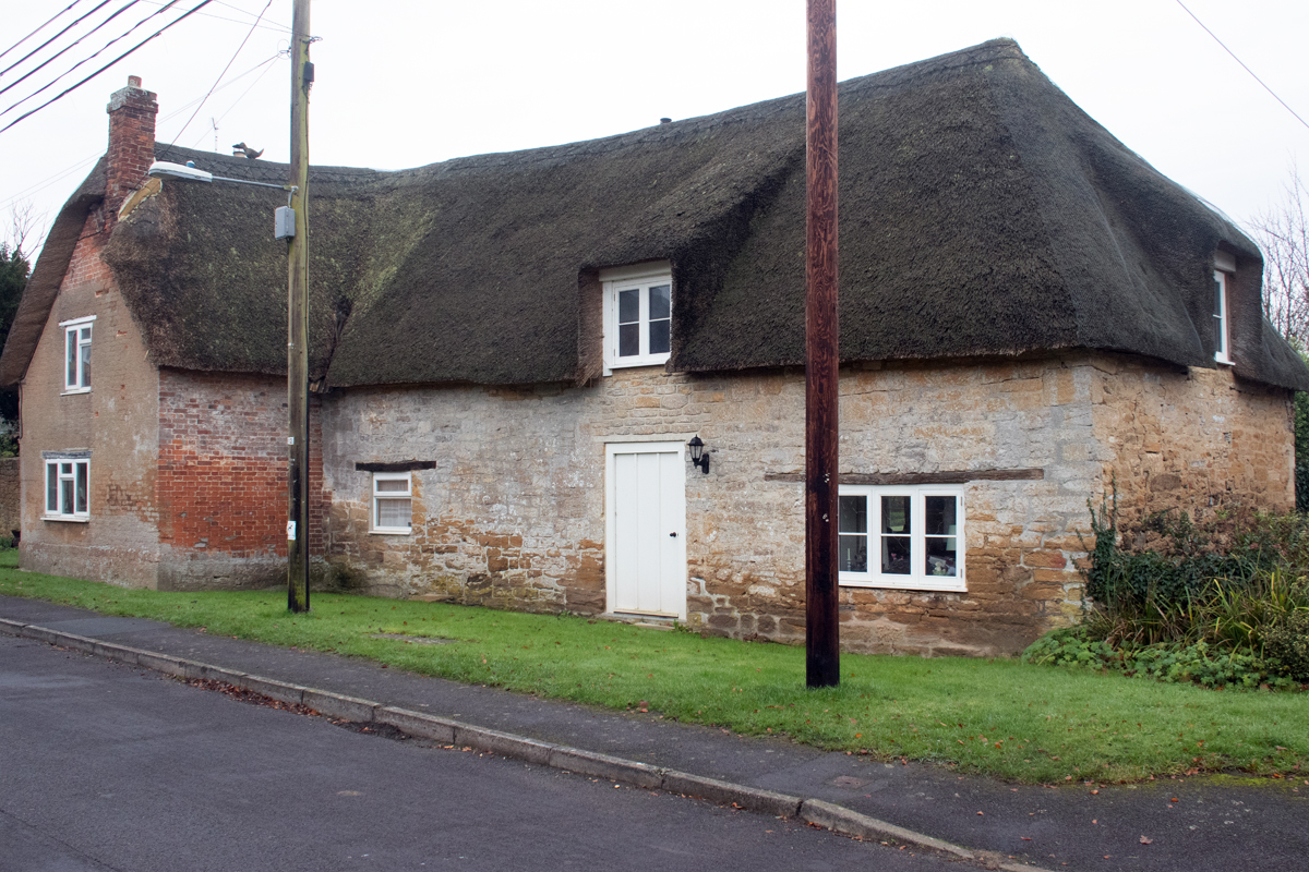
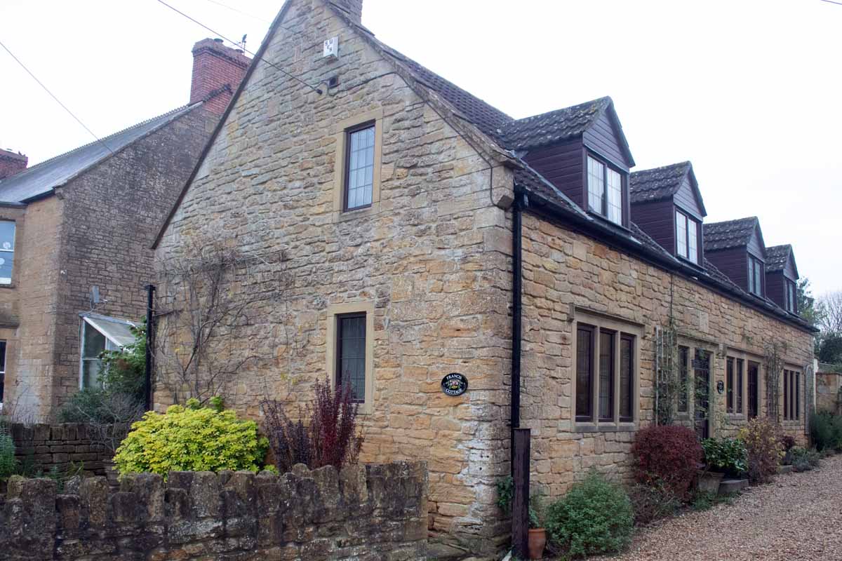
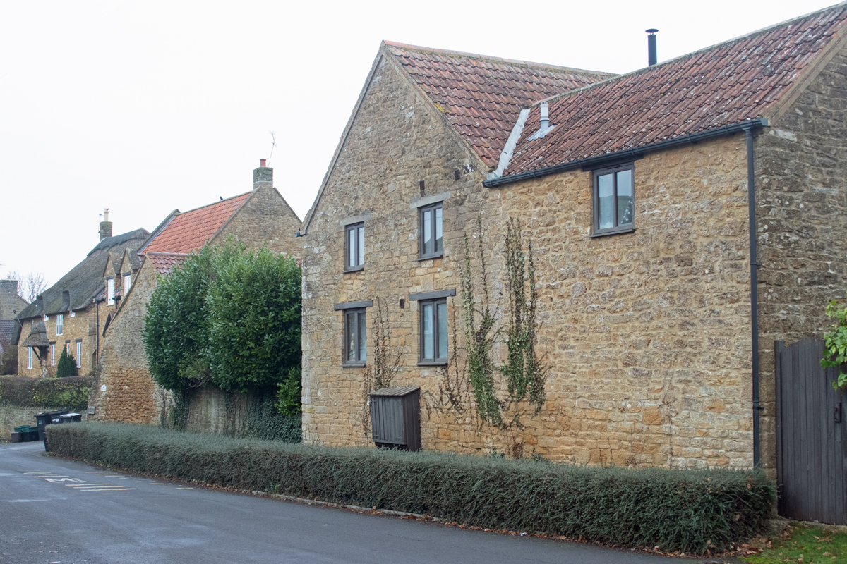
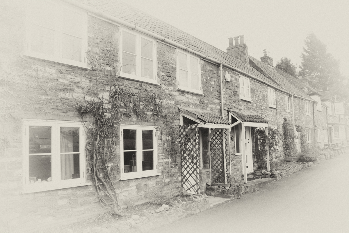
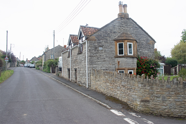
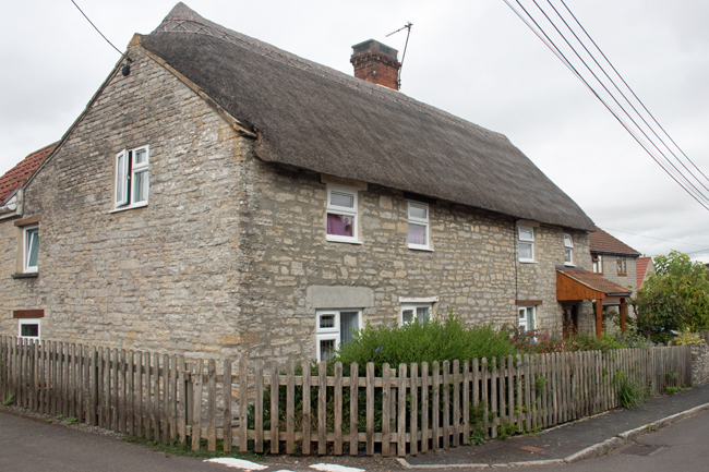
Most of the houses in the village are made from Ham stone – quarried from the local hill – and this gives a quaint, consistent feel to the place. A lot of the original cottages are thatched and, barring the telegraph poles and cars, Tintinhull has the typical chocolate-box feel you would expect of a West Country village.
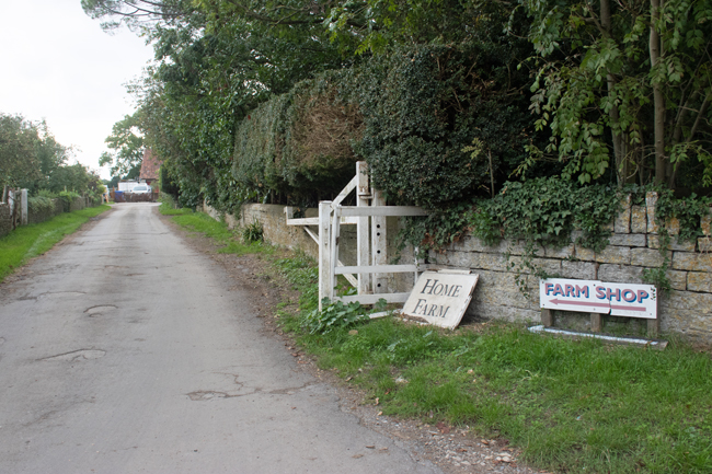
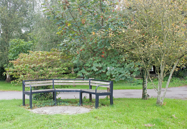
There is not an immediate heart to the Tintinhull – the village green is surrounded by cottages – but there are plenty of gathering places, both contemporary and historic.
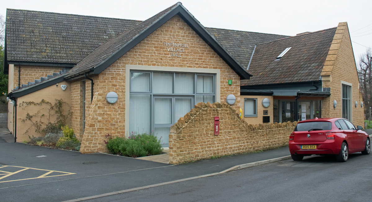
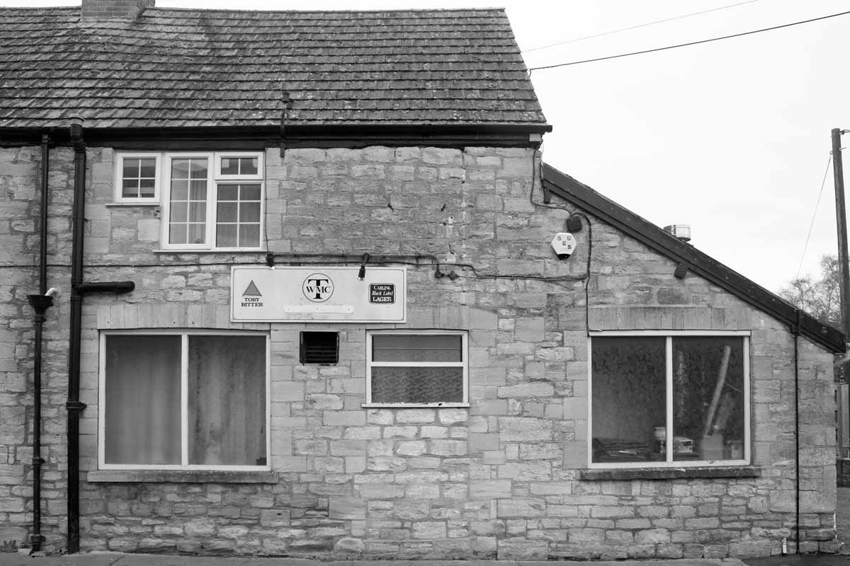
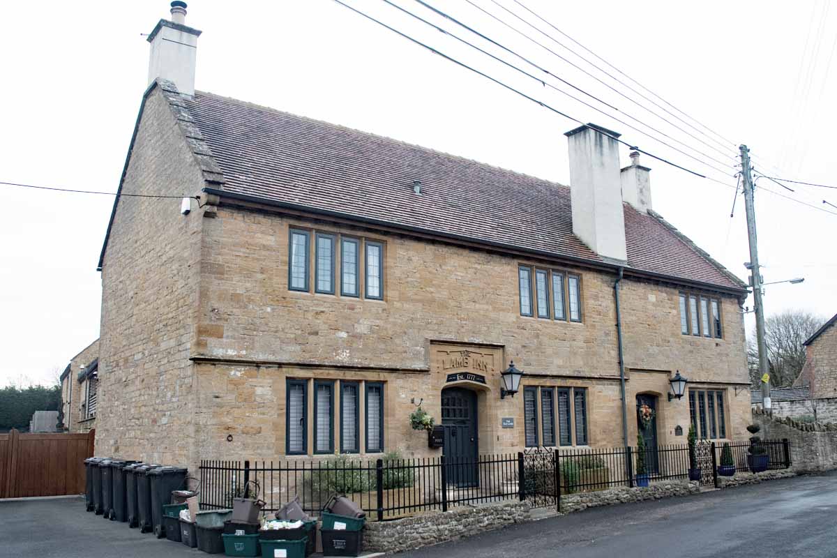
Opposite the new Village Hall, the old Lamb Inn has been tastefully converted to cottages and in the same stretch of road the old Working Men’s Club still bears the Toby Bitter advertising sign.
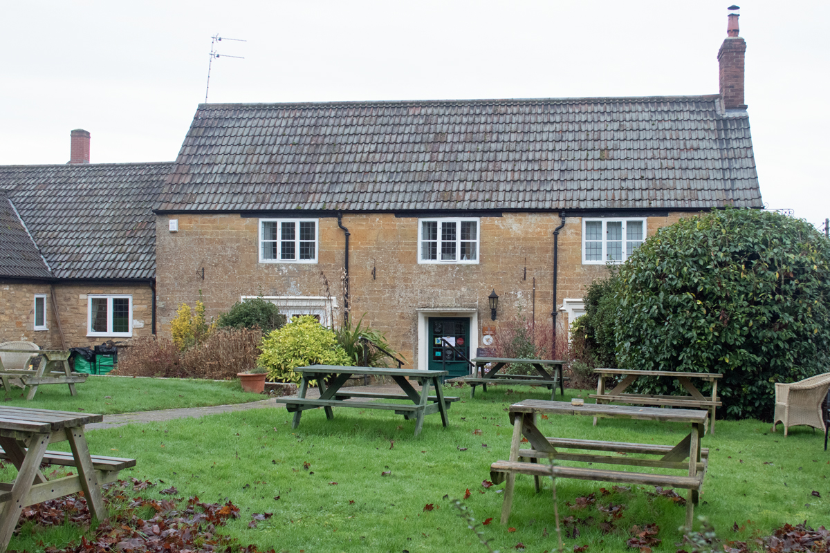
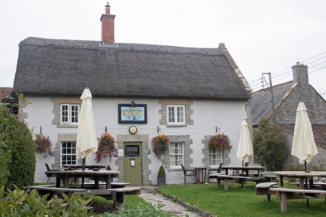
The remaining village pub – the Crown & Victoria – is set on the way to the manor house, and was obviously the stopping off point for farm workers ending their shift and returning home.
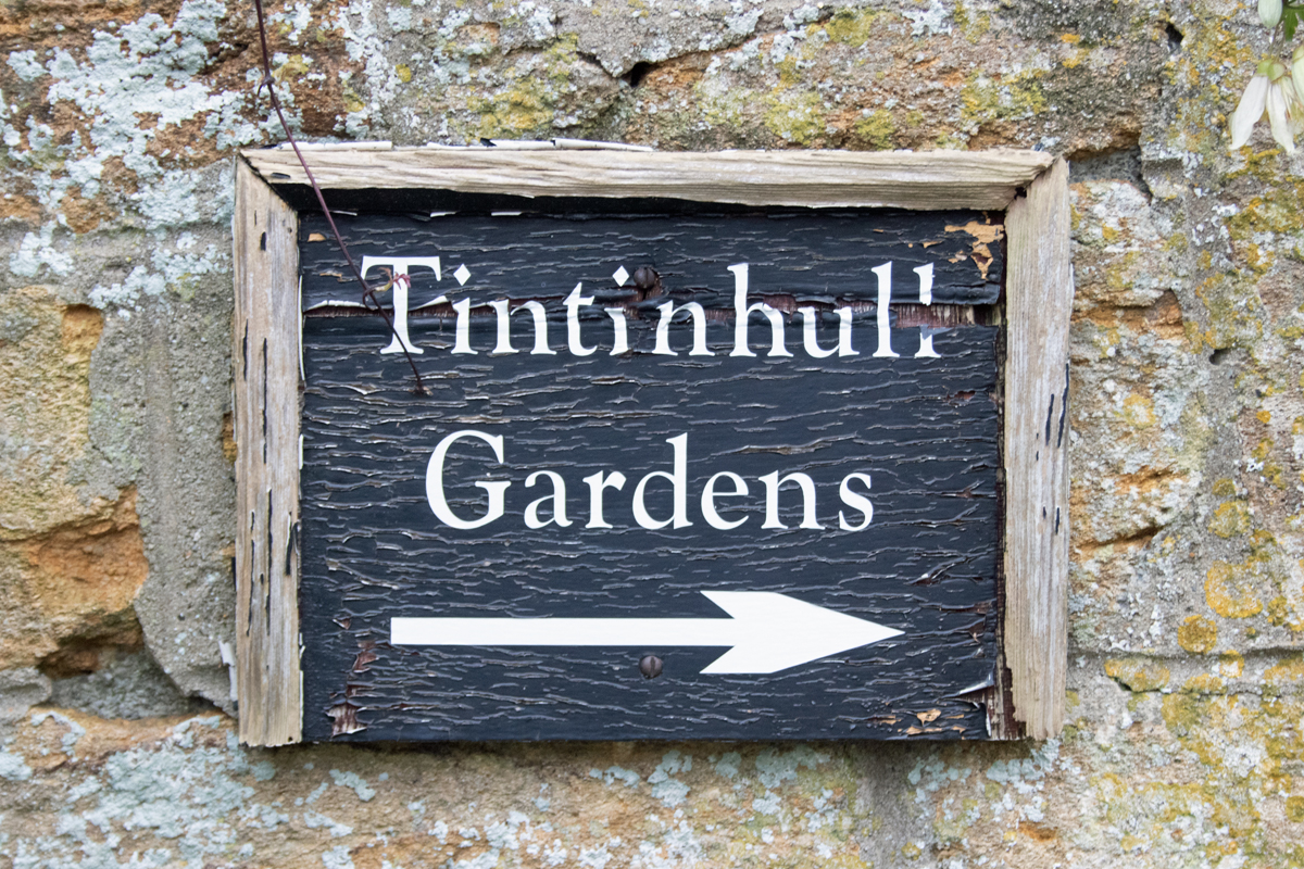
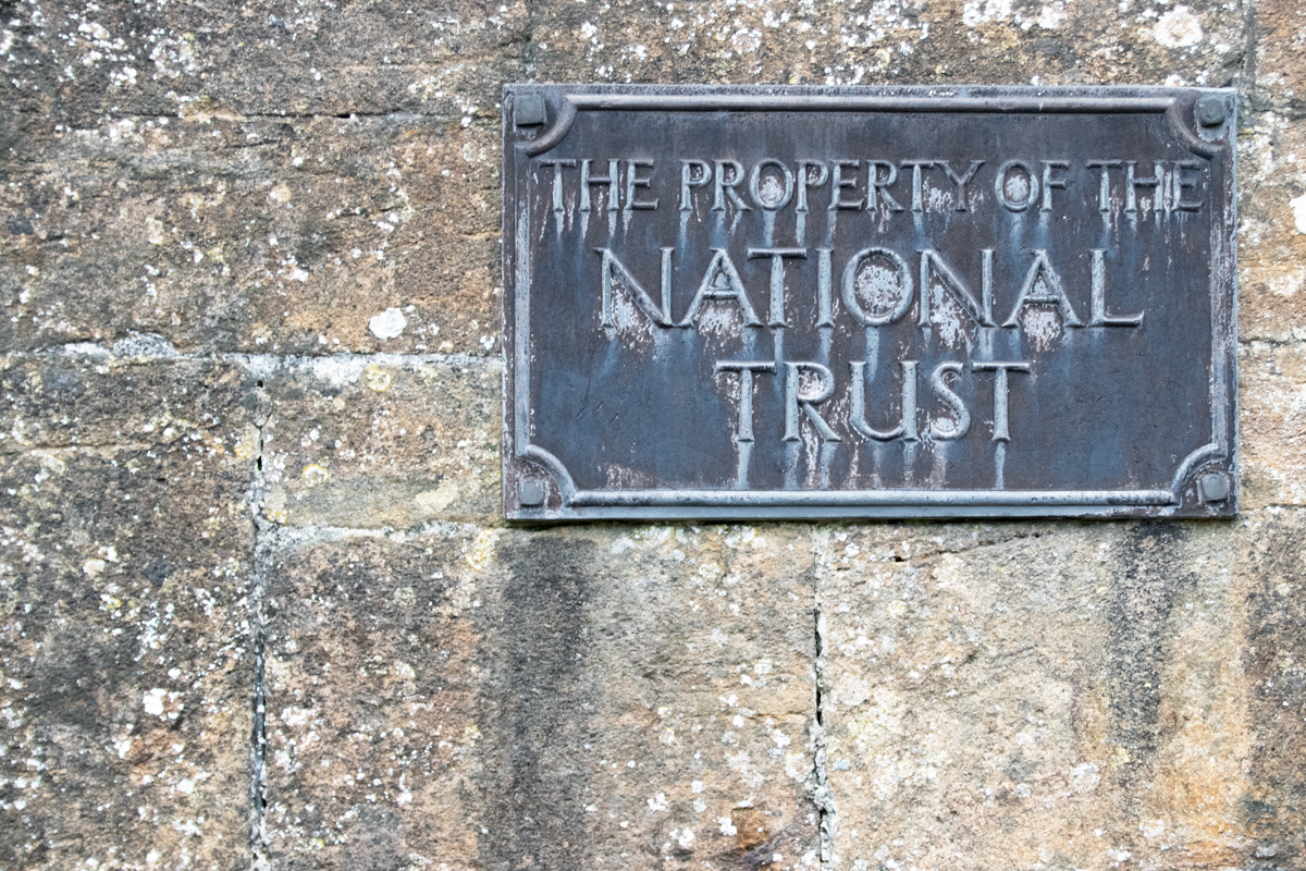
The manor house itself is now owned and run by the National Trust, and it is the connected Tintinhull Gardens that now draw people to this part of Somerset. (Sadly, due to the time of year and the restrictions imposed by the coronavirus pandemic, the gardens were not open at the time of visiting.)
Most of the villages I have visited on this alphabetical journey include the main elements of the manor house, a school, a gathering place and the church, and Tintinhull is no exception.
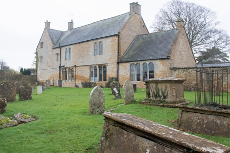
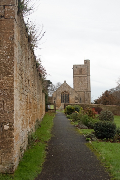
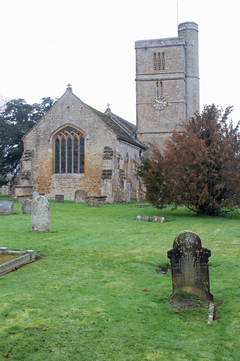
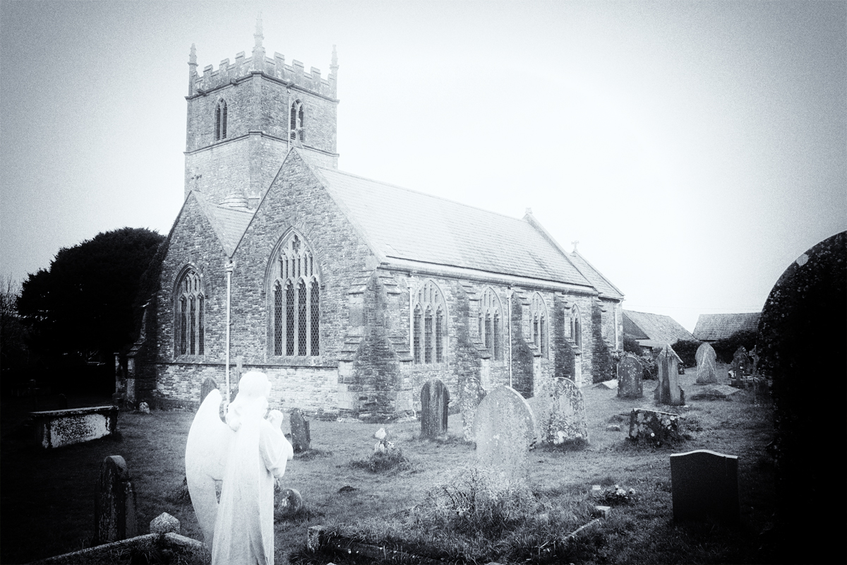
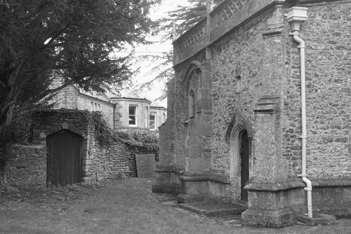
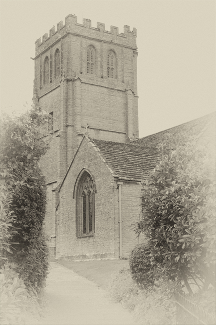
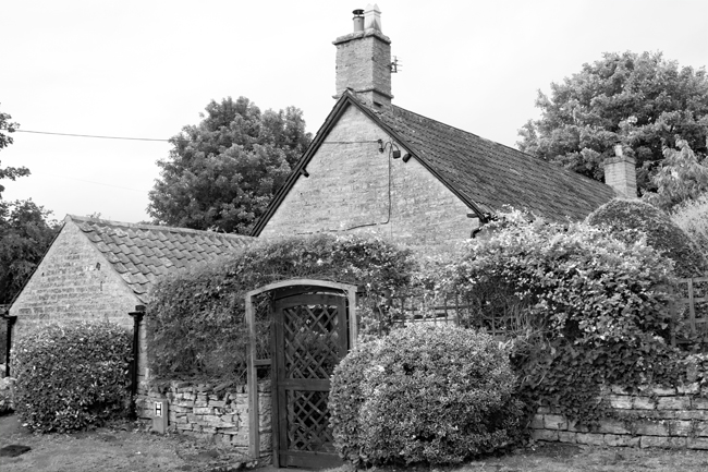
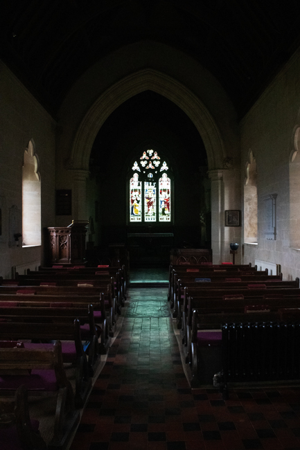
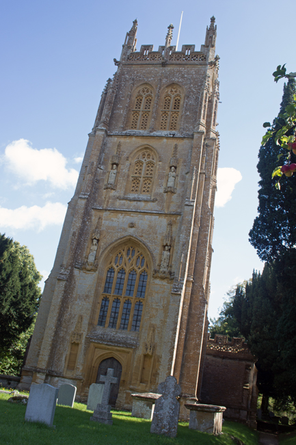
St Margaret’s Church sits away from the manor house – unusual, as they are normally intrinsically linked. As with most village churchyards, it is a peaceful place, somewhere to reflect and gather one’s thoughts.
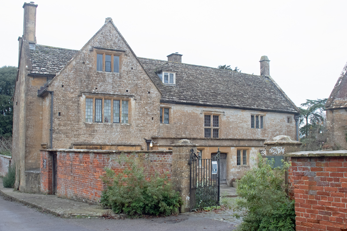
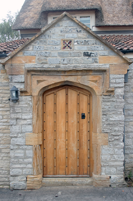
Approached by way of a long path, you feel a sense of great reverence as you walk towards St Margaret’s; this sensation is added to by the imposing wall on the left of the path, hiding a dramatic house behind it.
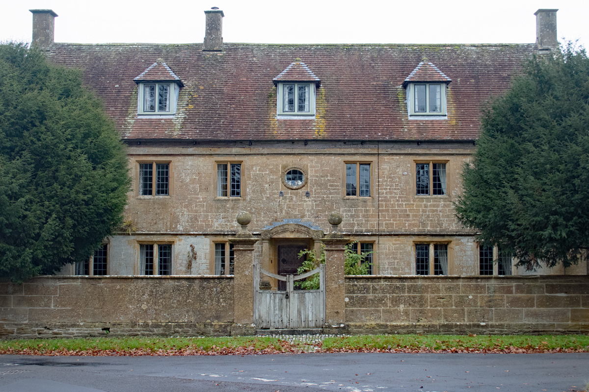
Once in the churchyard itself, the extent of the building behind the wall is revealed; this is Tintinhull Court, in its medieval glory.
Originally the parsonage, it was first built by the abbot of nearby Montacute Priory; remodelled three times since its original construction, it has been designated a Grade I building.
The history of Tintinhull Court begins to make more sense of the village layout; this was the original manor house and its owners built the church next door, with window overlooking the the graveyard and the parishioners walking towards their weekly sermon.
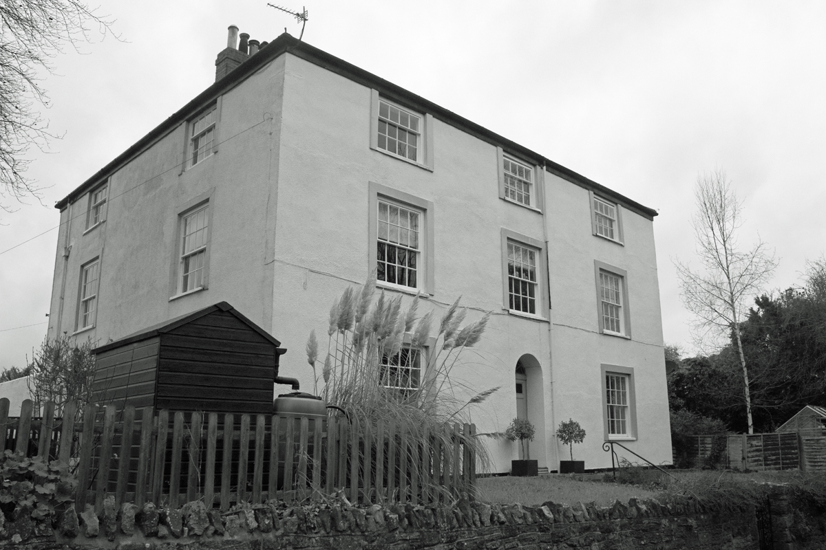
The resident Napper family built Tintinhull House – on the other side of the village – as a dower house in the seventeenth century; close enough that the Court’s widow was in walking distance, but far enough away for her not to disturb the ongoing matters of her heirs.
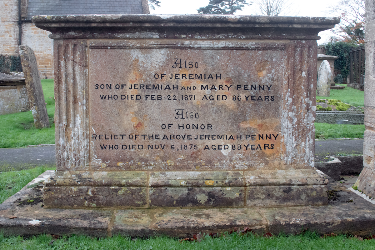
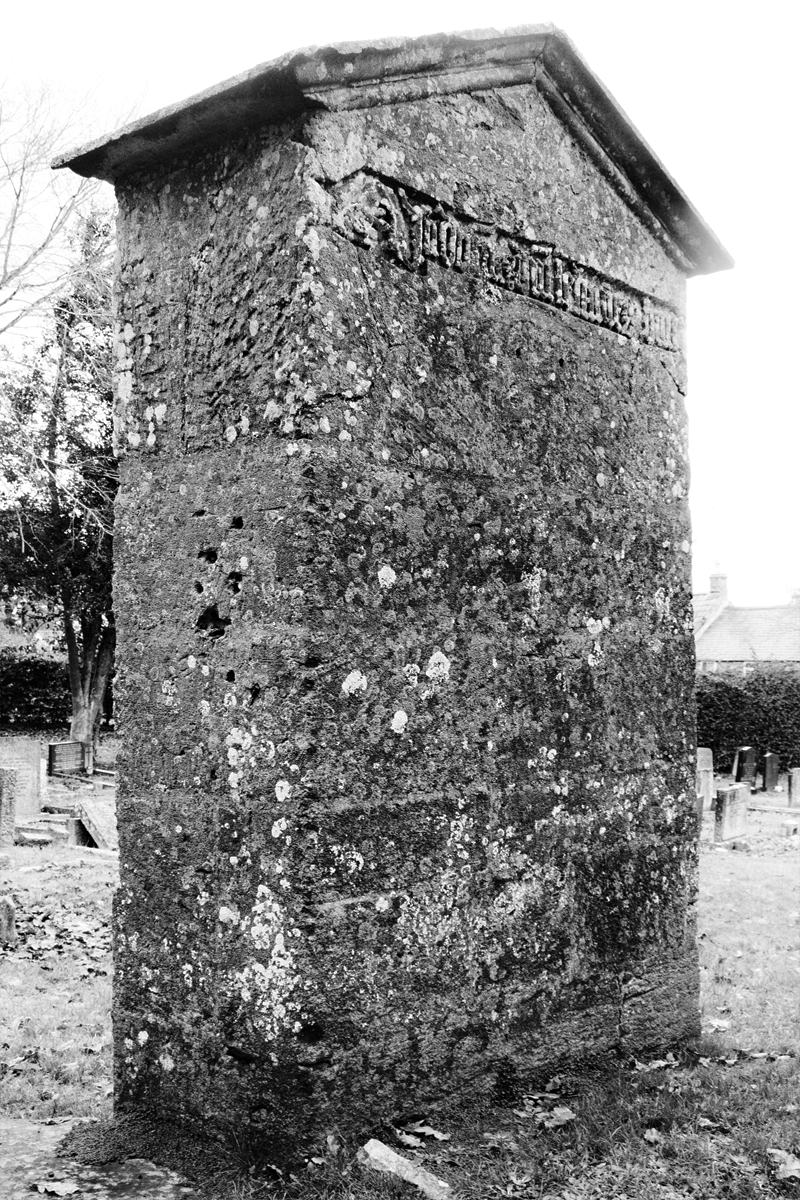
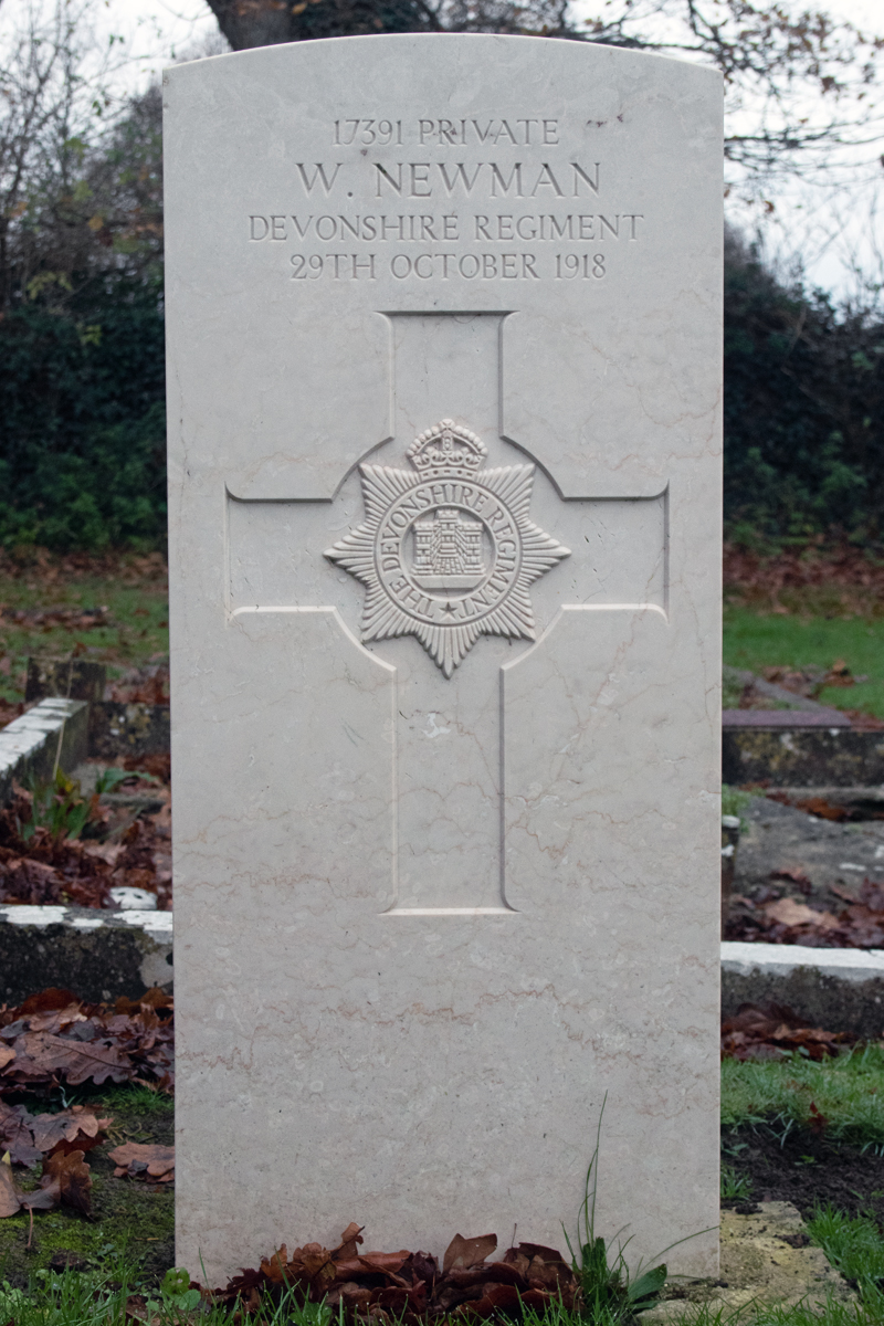
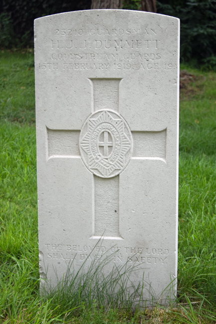
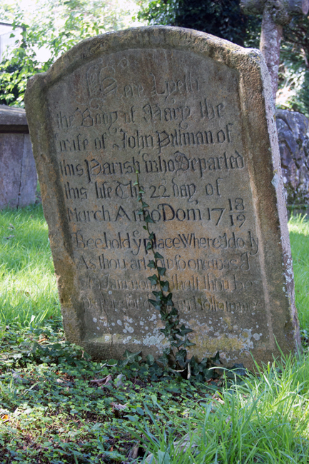
The graveyard also commemorates three residents who fell on home oil during the First World War.
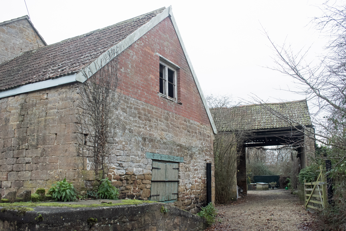
Tintinhull has a long history, and economically it has survived well; primarily an agricultural community, the village has also been a focus for glove-making, dating back as far as the thirteenth century. By the late nineteenth century, much of the village’s employment came from the industry, and it continues today, although on a much reduced level.
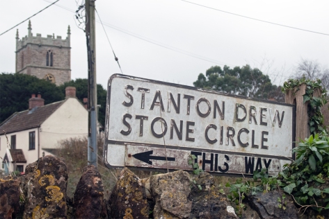
In the north of the county*, just eight miles from the centre of Bristol lies the quiet village of Stanton Drew. Nestled in the rolling hills of this part of the county, it is easily overlooked. (Avoid using your SatNav – you will end up encountering all sorts of twisty turny country roads!!)
Old enough as a village to have featured in the Domesday Book, it was listed as Stantone, from the Old English and Celtic words meaning “the stone enclosure with an oak tree”.
Drew came from the name of one of the former owners of the area, and was added to distinguish the place from neighbouring Stanton Wick and Stanton Prior.
Approaching from the north, the first hint of Stanton Drew comes from the sight of the unusual Round House. Originally a tollhouse, this quirky thatched building sets the tone for the other buildings in the village.
Over the narrow bridge, and you arrive at the village itself.
You very readily identify that this was once a place of great wealth. There are a number of large properties, and it is difficult to identify if there was ever just one manor house.
Stanton Drew gained its wealth from coal, and, at, as late as the 1950s, there were as many as three mines within the parish boundaries.
In fact, there is little evidence of any smaller housing; yes the land around the village is also good for agriculture, but there aren’t many traditional farming cottages to be found.
The main religious site is the church of the Blessed Virgin Mary, which dates to the 13th and 14th centuries.
As befits a village of this stature, there is a school and village pub, but as you wander round Stanton Drew, you can’t help but get the feeling there there is something more about this place, something that you cannot quite put your finger on.
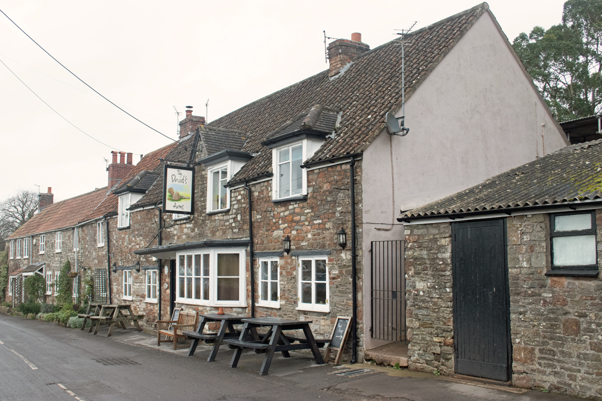
And oddly, it’s the garden of the village pub – The Druid’s Arms – that gives you the first hint.
For while Stanton Drew was first listed in the Domesday Book, its history significantly predates this writing from 1086.
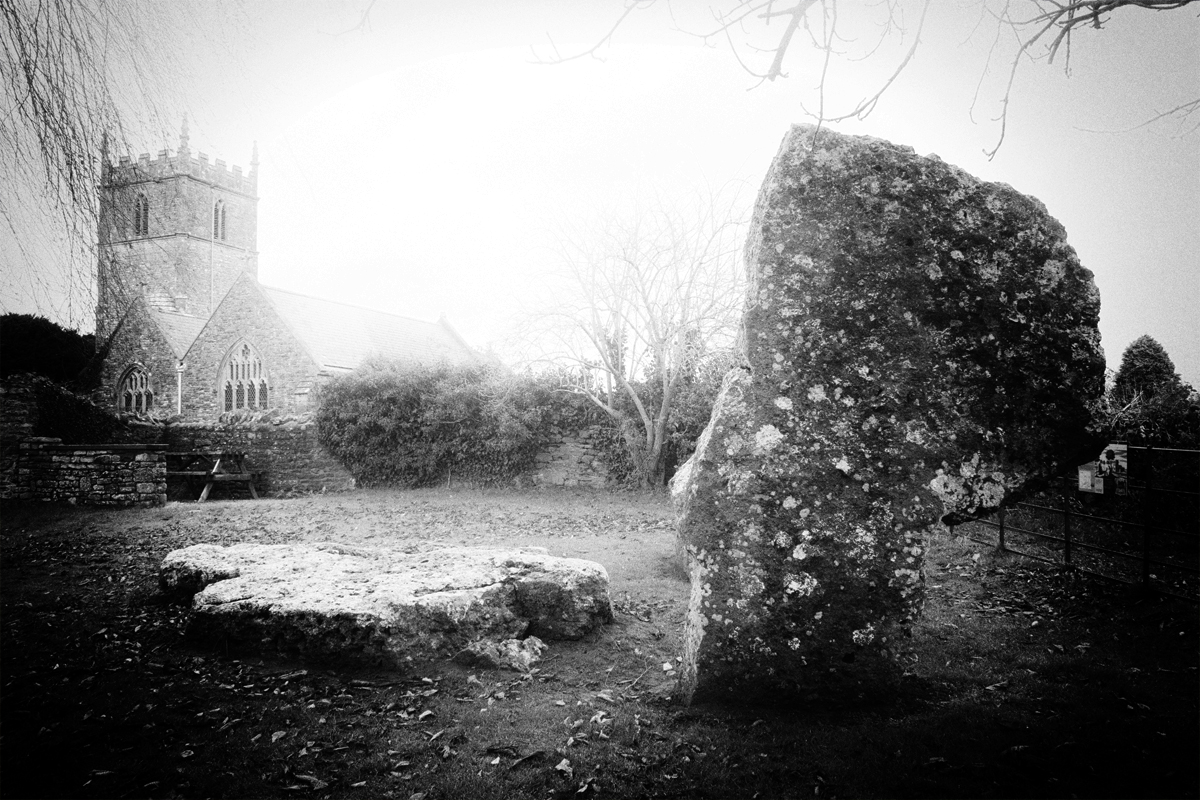
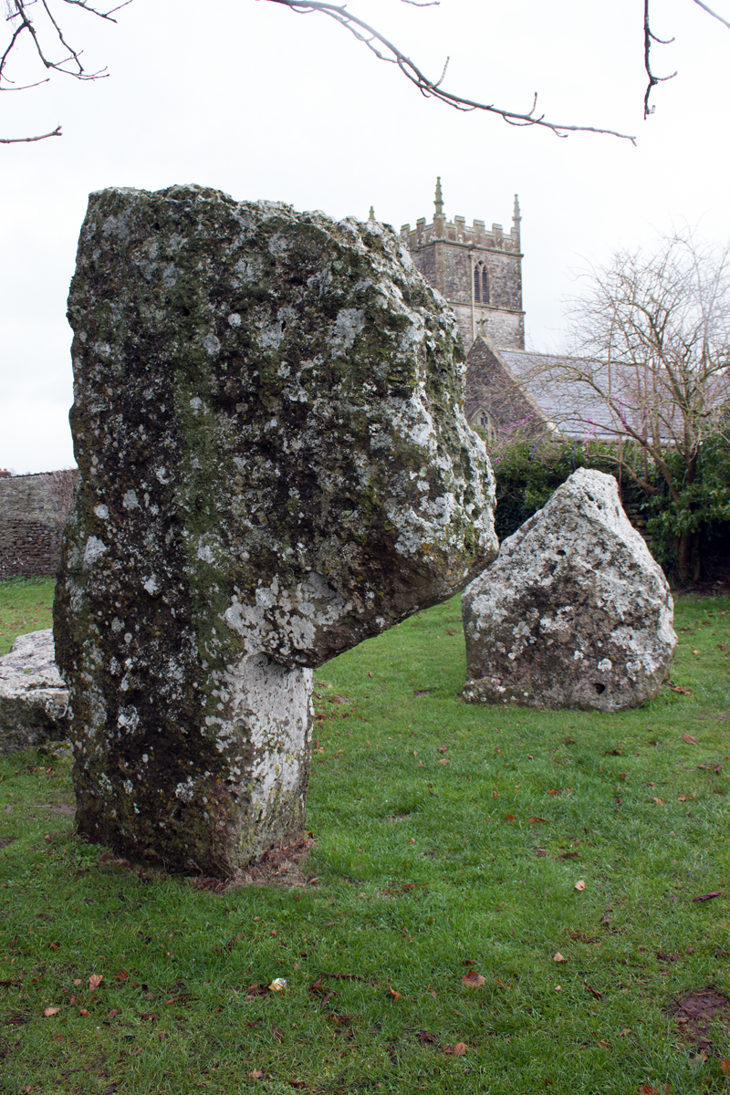
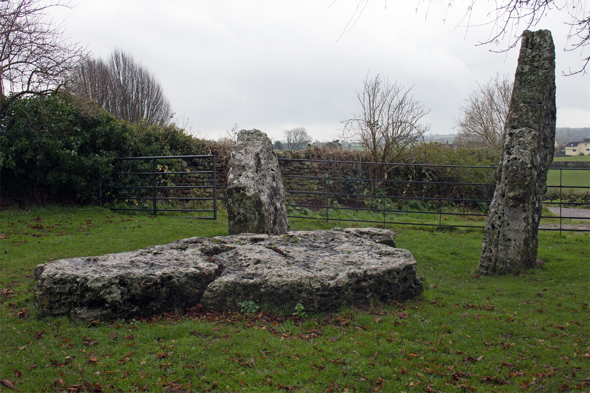
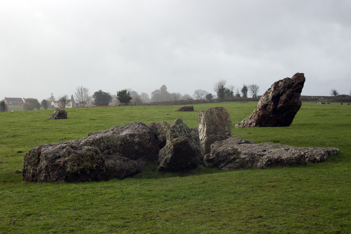
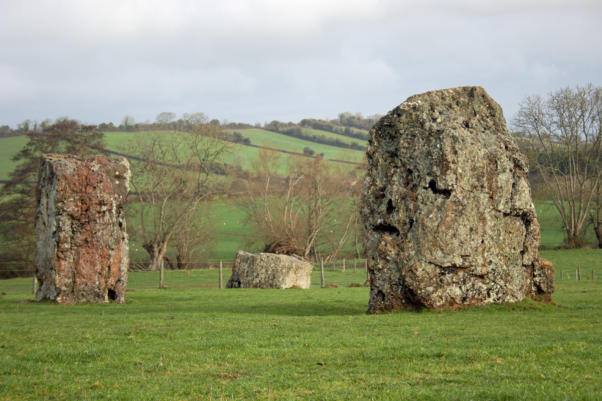
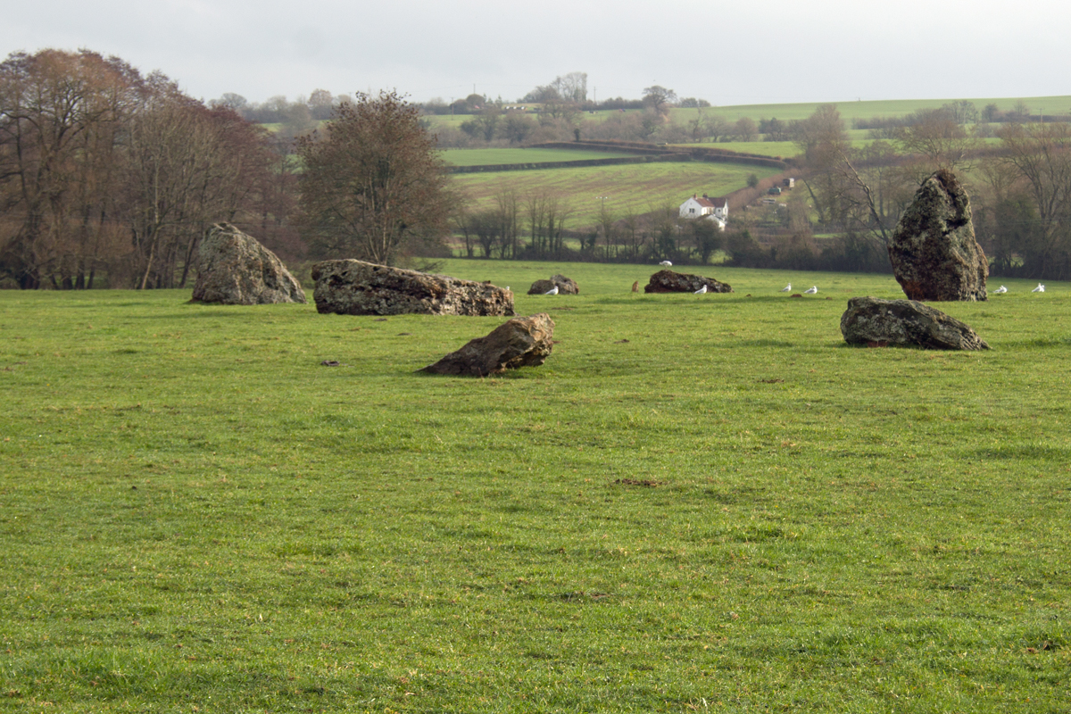
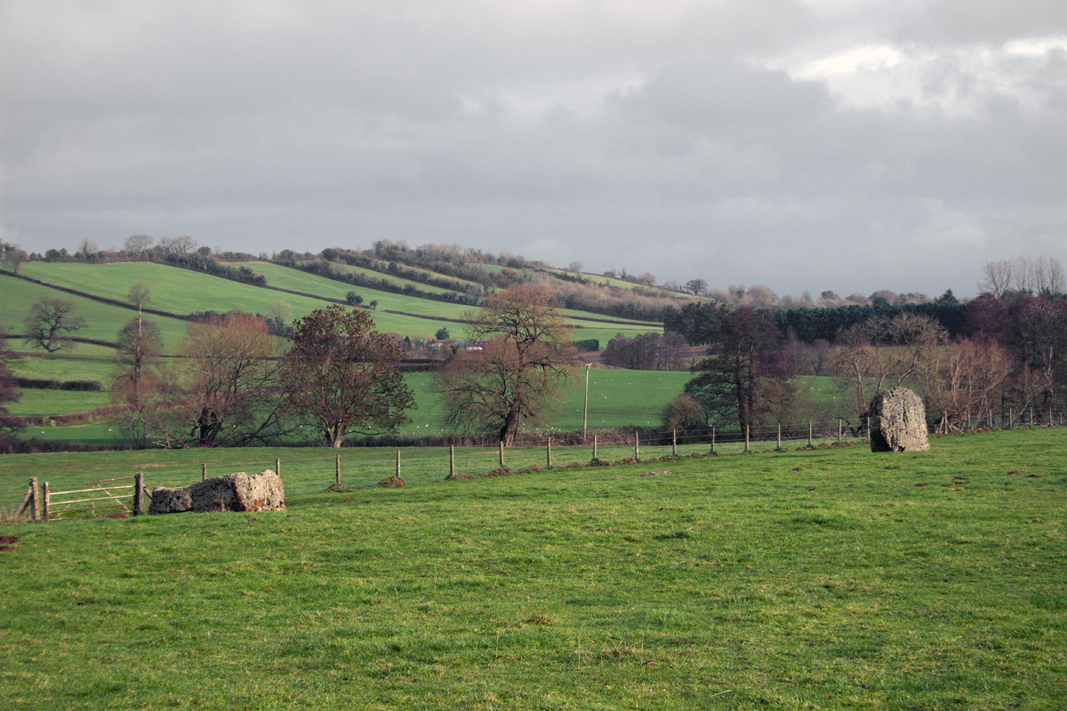
Three stones form a prehistoric enclosure, within site of the village church. They hint at the ceremonial activities which took place here around 4,500 years ago.
They are also said to be the relics of a parson, bride and bridegroom, turned to stone by the Devil because their wedding guests danced on a Sunday.
Behind the church as the most impressive element of Stanton Drew.
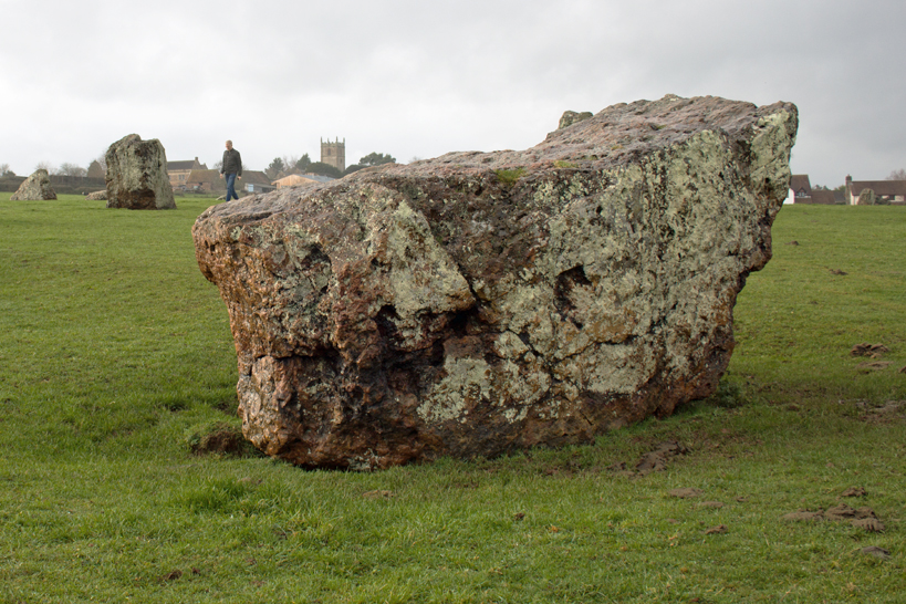
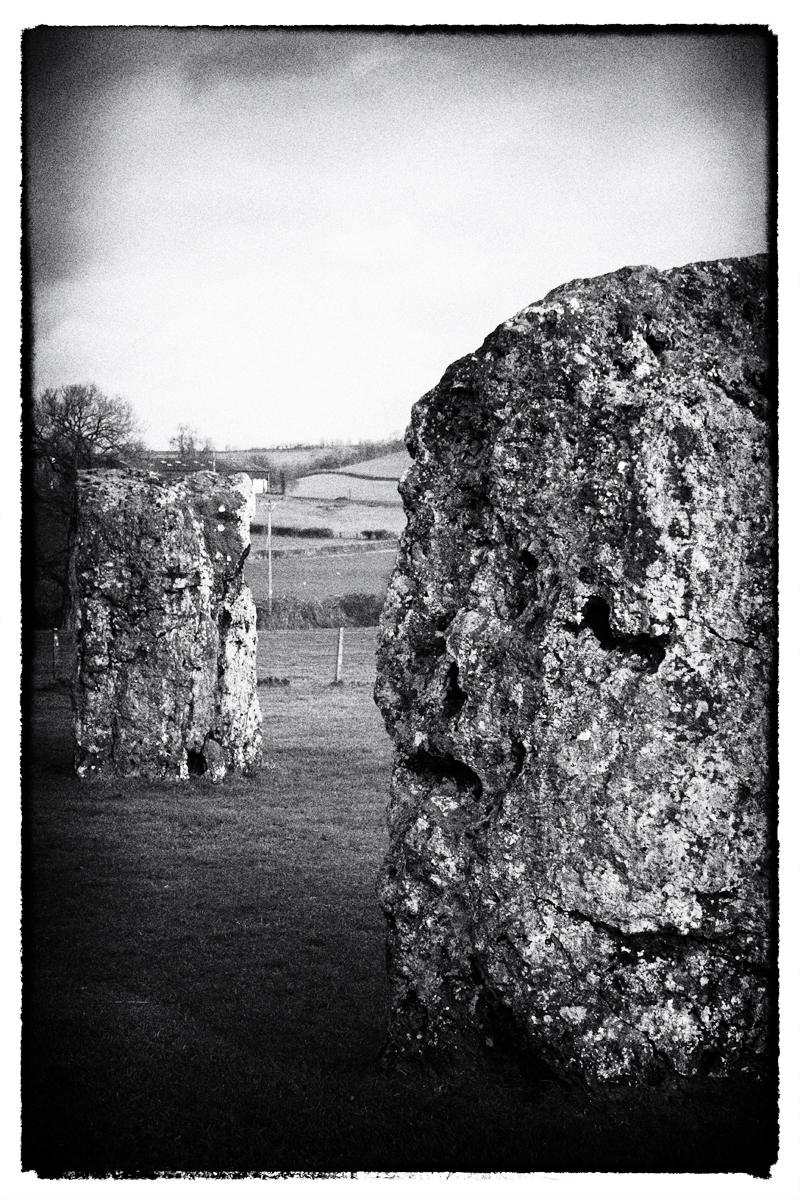
Three stone circles, up to 371 ft (113m) in diameter lie to the east and north of the village. Contemporary in date to the Neolithic site at Stonehenge, the Great Stanton Drew circle is, in fact, larger than its more well-known Wiltshire counterpart.
Only the stone circle at Avebury is bigger in size, meaning that the Stone Age circles of Stanton Drew are, in fact, the second largest Neolithic site in the United Kingdom.
Significantly less visited than either Avebury or Stonehenge, Stanton Drew is one of the country’s best kept prehistoric secrets.
Undoubtedly one of the places to visit in the county, there is plenty to admire in Stanton Drew, and, for history buffs and walkers alike, there is more than enough to see and do.
* While Stanton Drew lies in the Bath and North East Somerset Unitary Authority, is is still part of the ceremonial county of Somerset, and so is happily included as part of this A-Z wandering.
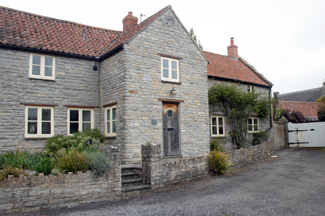
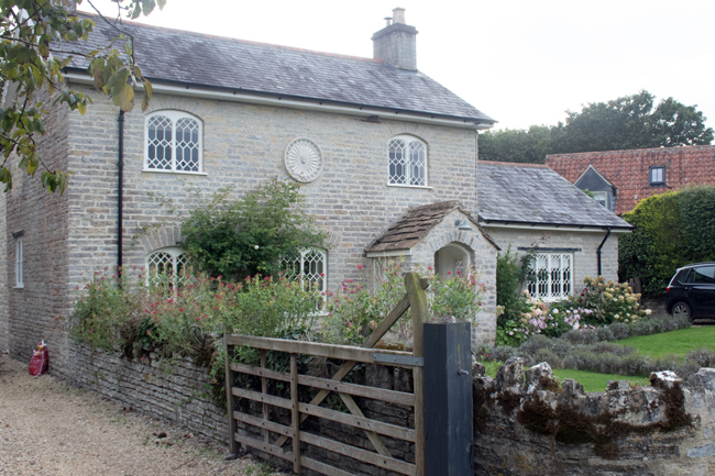
At the foothills of the Mendips, on the main road between Wells and Weston-super-Mare, lies the quiet, unassuming village of Rodney Stoke. Owned by a number of families over the years, Stoches (old English for ‘settlement’) has been known as Stoke Whiting, Stoke Giffard and Stoke Rodney over the years, before the name settled on Rodney Stoke.
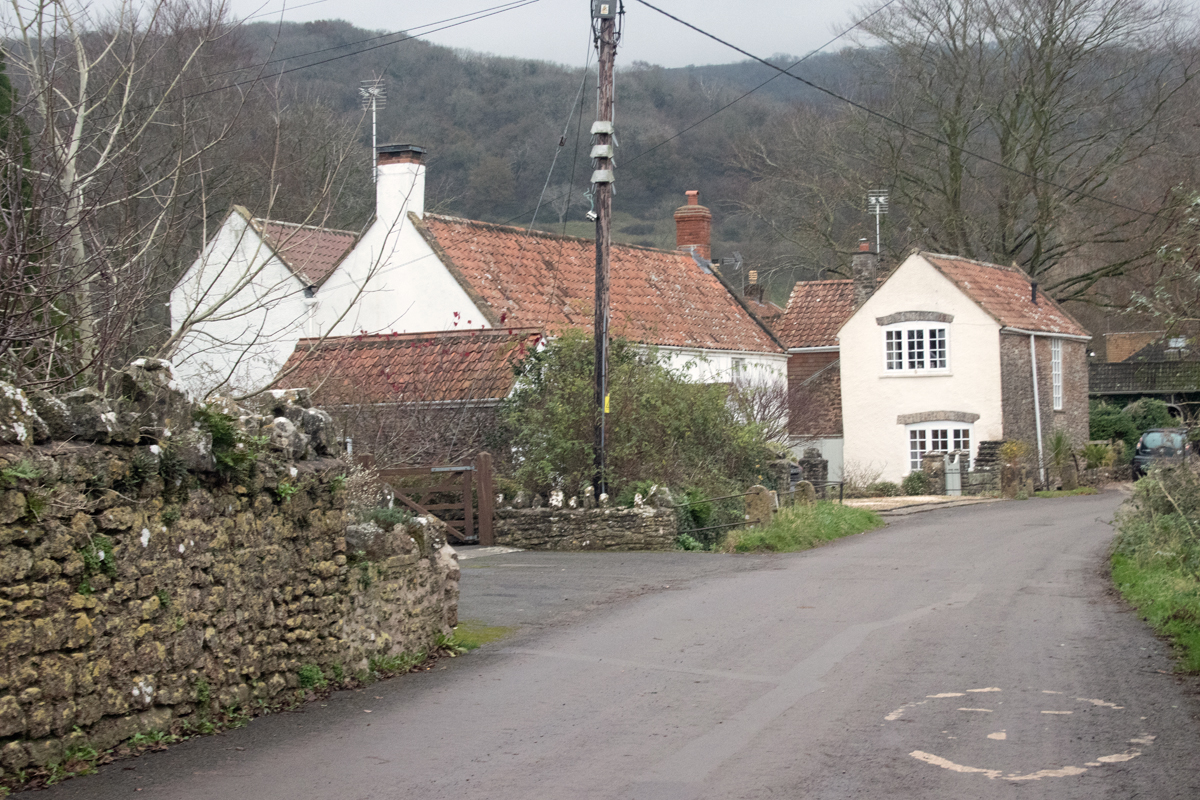
With a population of close to 1,500 people, you would expect the village to be a bustling affair, but settled as it is – along three lanes leading downhill from the A371 – it has an altogether quieter feel about it.
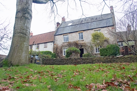
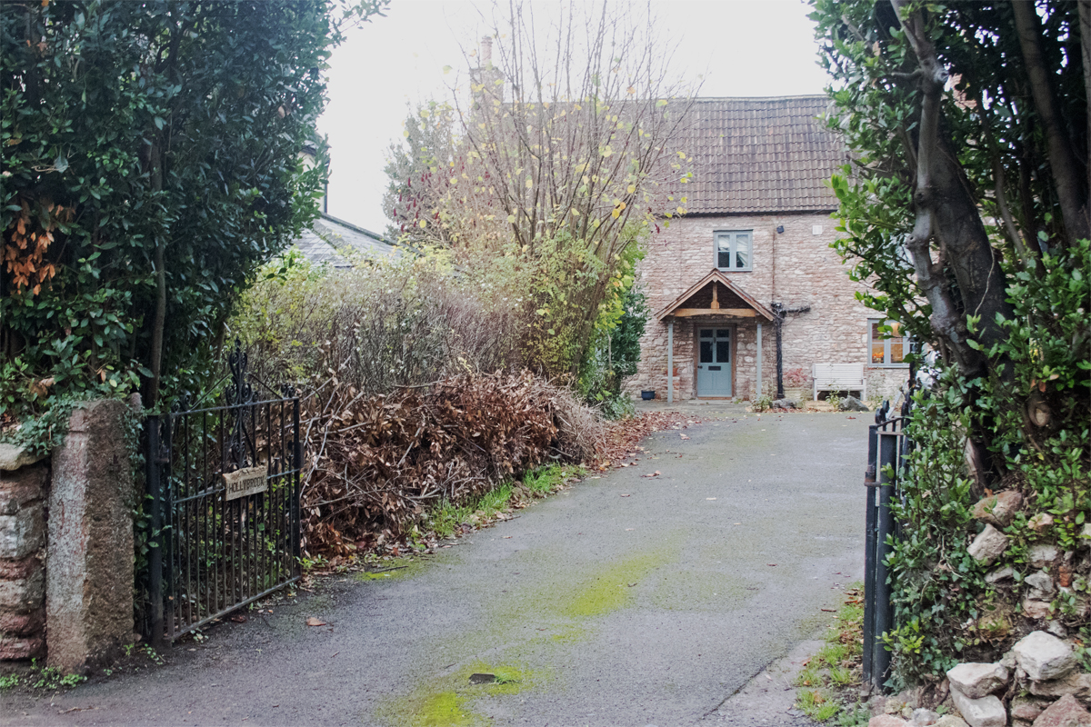
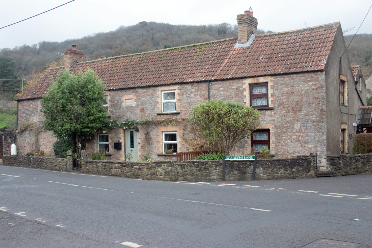
The lanes are lined with cottages built for former farm workers. Some former outbuildings have been converted into newer residences while other parts of the village are much newer properties, albeit still in keeping with the history of the village.
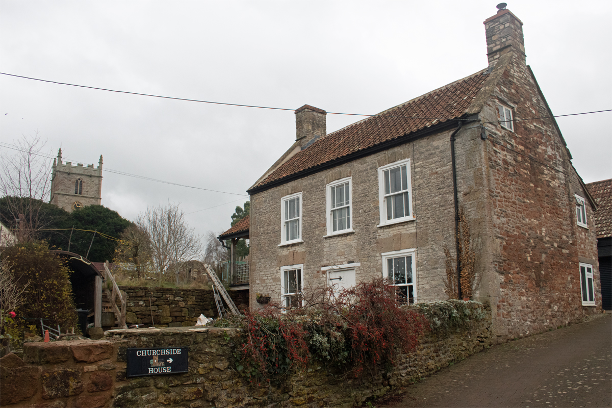
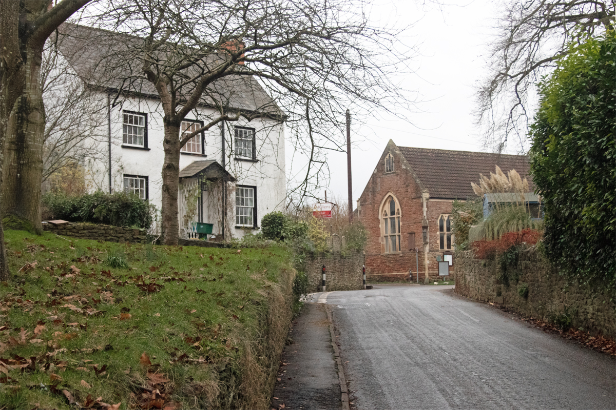
At the bottom of Stoke Street lies a farm, while the former manor house stands proud above the surrounding fields.
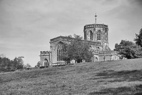
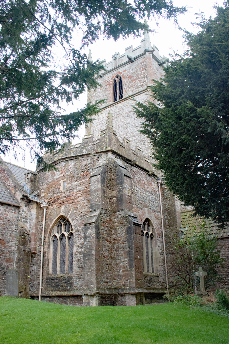
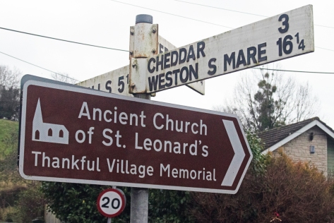
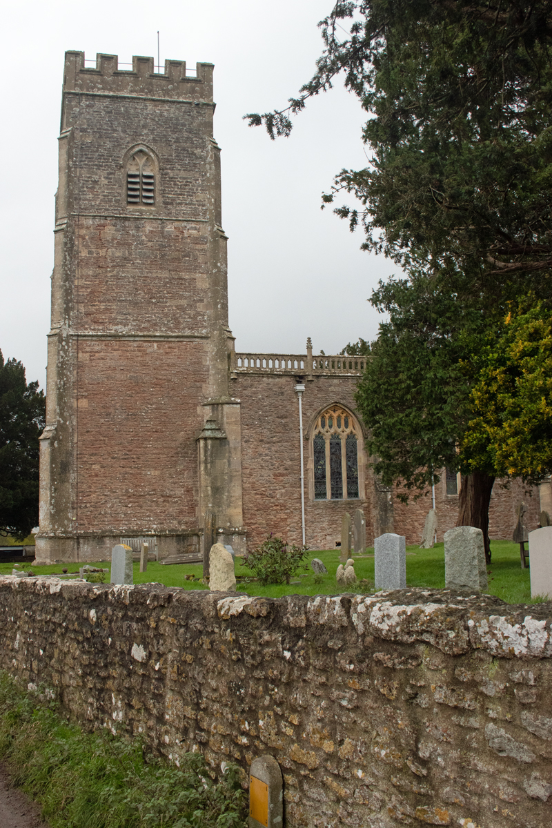
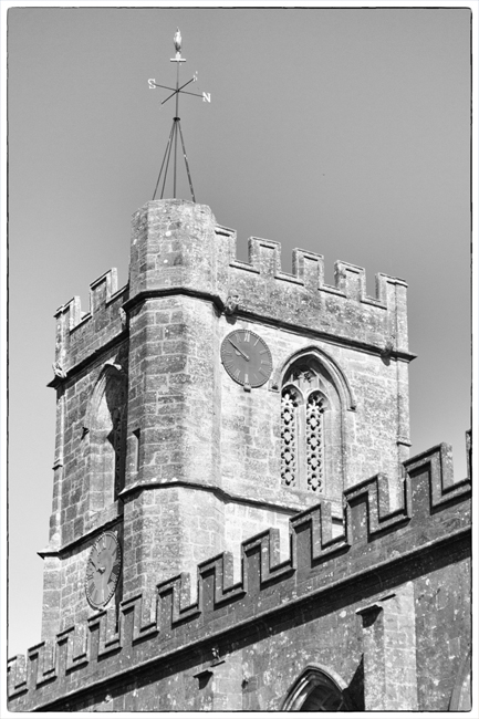
The parish church – St Leonard’s – is, unsurprisingly, place next to the manor house and, while hidden from most of the village, it can be clearly seen on the skyline from the south, standing tall and proud against the dramatic escarpment of the Mendips.
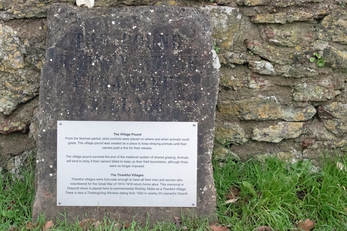
Normally, when I visit the local villages, I spent time in the churchyard looking for Commonwealth War Graves. However, Rodney Stoke stands out as one of the county’s Thankful Villages.
Fifty-three parishes in England and Wales are commemorated as having sent servicemen to war between 1914 and 1918, all of whom returned at the end of the conflict. These Thankful Villages stand out, particularly given that there are tens of thousands of towns and villages across the country.
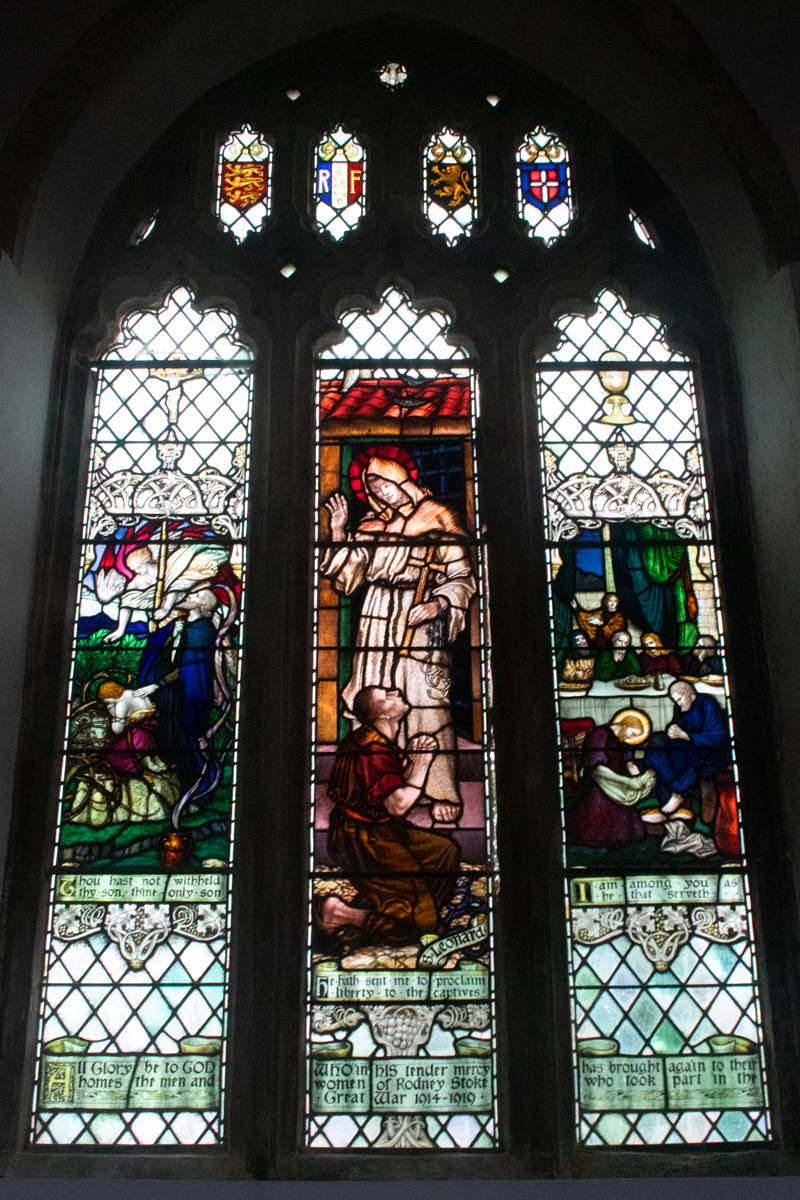
Somerset has the highest number of Thankful Villages by county, with Rodney Stoke counting as one of nine. This is celebrated by a window in the church, giving thanks that “All glory be to God, whom in his tender mercy has brought again to their homes, the men and women of Rodney Stoke who took part in the Great War 1914-1919”.
(As an aside, Rodney Stoke sadly doesn’t fit into the category of being Doubly Thankful, having seen all of their service men and women return from both world wars. Four local residents – David Cooper, John Glover-Price, Denis Thayer and James Williams – perished in the 1939-1945 conflict.)
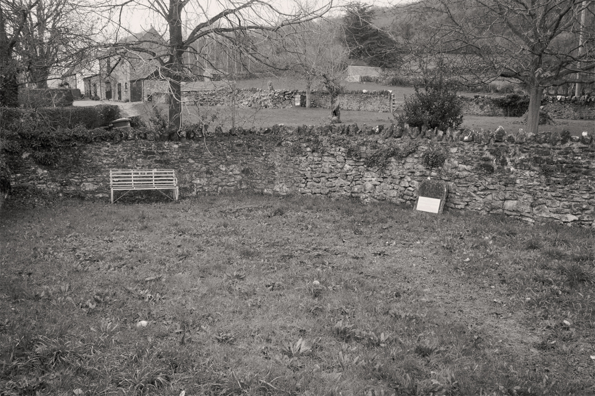
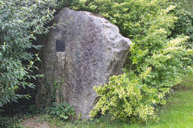
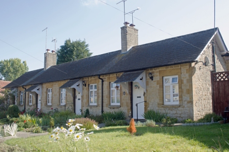
A second memorial to Rodney Stoke being thankful is situated in the Village Pound.
Since Norman times, strict controls were in place about where and when animals could graze on common land. The Pound – a walled area on the main road – was a place for straying animals to be kept until their owners paid the due fine.
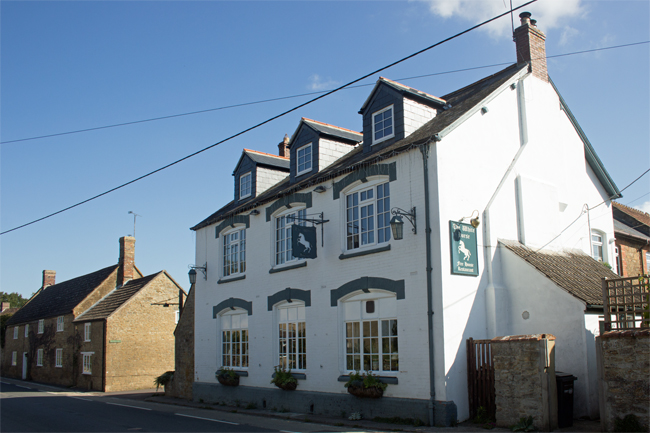
As with other villages I have visited for this alphabetical journey, Rodney Stoke is definitely worth stopping by for. To the north of the village lie the Stoke and Stoke Woods Nature Reserves , and the village pub – the Rodney Stoke Inn – must also be worth a visit!
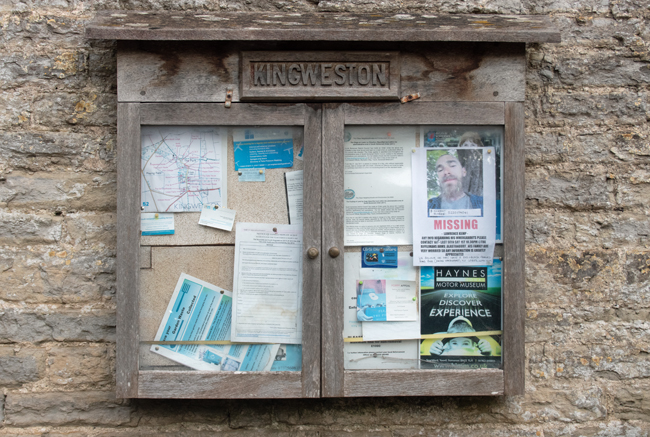
I couldn’t let the lack f a J village pass, so I have included a second K in the list.
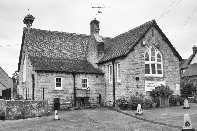
Just to the south of Kingweston, in between Somerton and Yeovil, sits the quiet village of Kingsdon.
With a population of just over 300 people, it is a tight-knit community, somewhere where, you readily find yourself walking along quiet roads, getting welcoming nods and hellos from local resident and dog-walkers.
The village gets is name from nearby Kingsdon Hill, which in turn reflects its regal connection to Somerton, a royal estate since the Norman Conquest.
All Saints Church, to the north of the village, is a peaceful location and dates back to the 1400s. The churchyard includes two Commonwealth War Graves, which I’ll explore in later blogs.
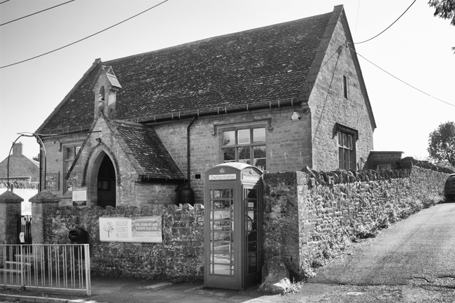
The community feel runs throughout Kingsdon, with a local pub, a phonebox book swap facility and a village school-cum-shop.
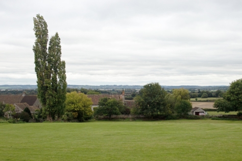
The views south are stunning too, heightening the real sense of countryside living. And, with plenty of footpaths locally, Kingsdon works well as a start point, finish, or stopping off point for an afternoon stroll.
Okay, so a slight hiccup in the A-Z proceedings in that there is no village (or town, or city) in Somerset that begins with the letter J. So, I will skip over that, and look at K instead.
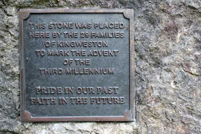
And Kingweston is the stereotype for the evolution of a village.
It’s the end of the 11th Century. You’ve supported the winning side and so, as a reward, you are given the manor of Chinwardestune. It’s good farming land, and you have a nice house there. Over time – and changes of ownership – the manor has grown strong: you have a large house, alongside which you have built a church, there are farm buildings and cottages for your workers.
And that’s it. This village, with a population of less than 150, is little more than a farm, the attached manor house and its religious building and workers cottages.
The cottages are very picturesque; higgledy-piggledy on the lane up to the manor house and farm.
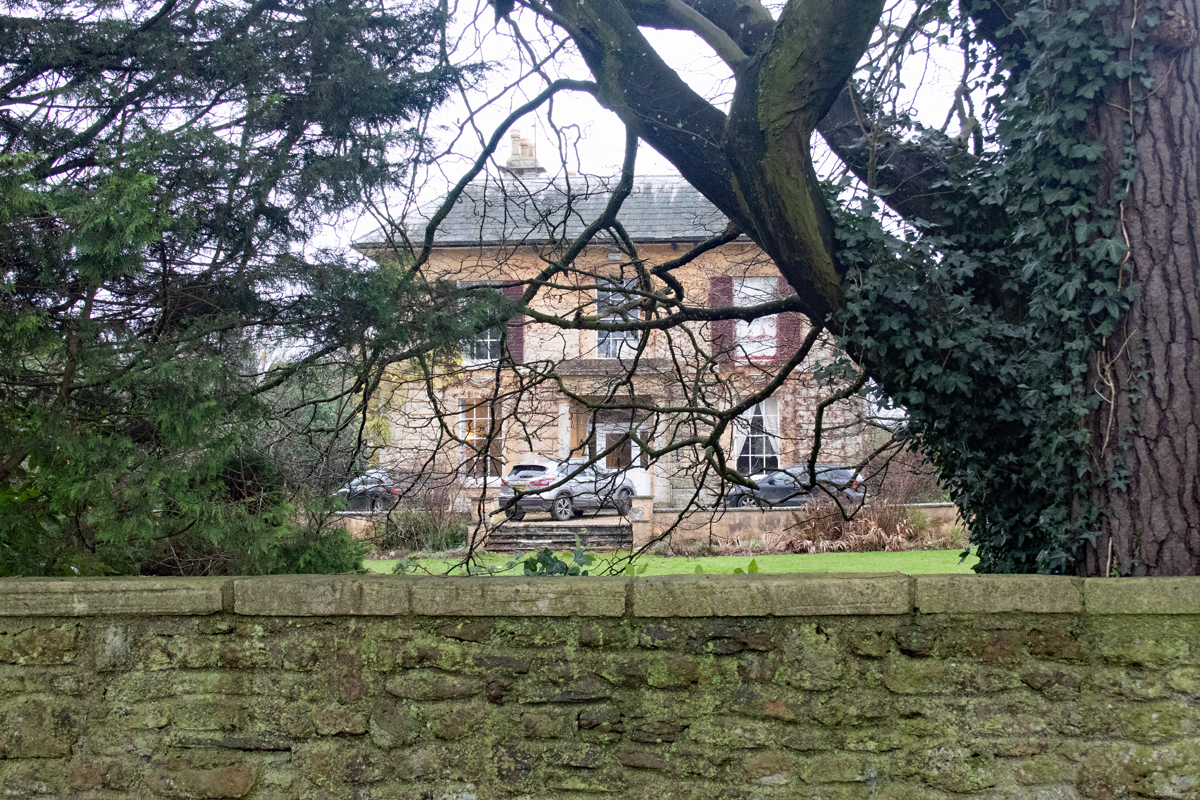
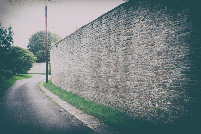
Walk up the main road and you encounter the Manor House. The barrier between those that had and those that had not. A high wall rings its lands, through the trees you get a glimpse of the grandeur within, but a glimpse is all you’re going to get.
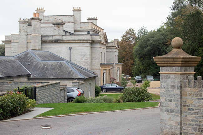
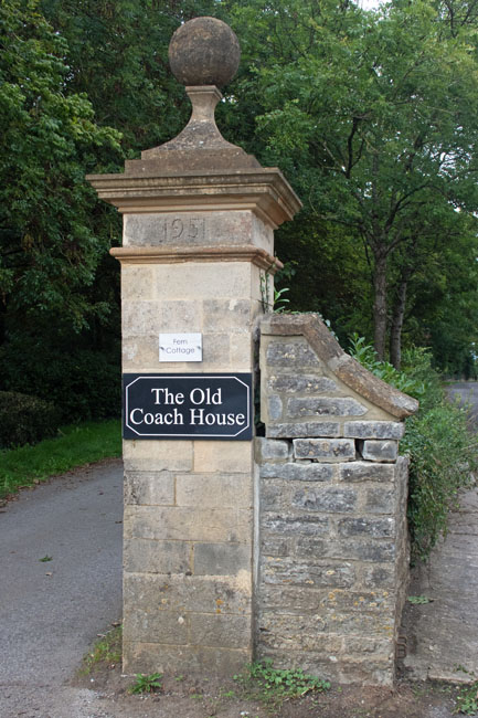
The current Kingweston House was built in the 1800s by the long-term residents, the Dickinson family. In 1946 it was bought by Millfield School and has been used by them ever since.
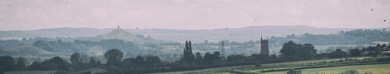
The Church of All Saints is of a similar age to the manor house. Set at the upper end of the village, it is an ideal space for contemplation, as it overlooks the countryside towards Glastonbury Tor.
The Commonwealth War Graves Commission suggests that Major Francis Arthur Dickinson is buried in the churchyard and, while I was unable to find his headstone, he is commemorated on the Roll of Honour in the church itself.
The plaque mentions other members of the Dickinson family who died during the Great War:
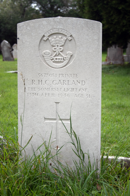
Lieutenant Colonel Hugh Carey Dickinson, of the Somerset Light Infantry and King’s African Rifles, died in Dar-es-Salaam in 1918.
Lieutenant George Barnsfather Dickinson of the East Lancashire Regiment fell at Ypres in May 1915.
The village has, understandably, a community feel to it. Even though the farm workers have move on and been replaced by wealthier country folk, Kingweston has a heart and a draw to it.
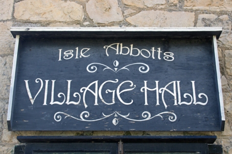
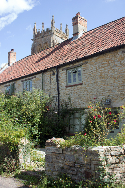
Tucked away deep in the countryside between Ilminster and Taunton is the picture perfect village of Isle Abbotts. Taking its name from the River Isle – which flows nearby – and Muchelney Abbey – whose lands it once sat on – Isle Abbotts is a tine village of little over 200 people.
And tucked away it is! I know I’m still fairly new to the county, but the road from Ilminster is as countrified as you get. High hedges on both sides, a strip of grass down the middle of the tarmac, battling tractors, a dog, some chickens and a Tesco lorry, it took a while to get there, but the journey was worth it.
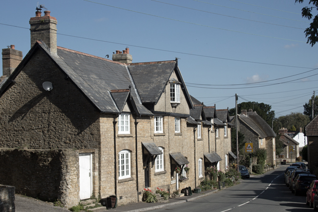
There is a very chocolate box feel to Isle Abbotts; thatched cottages, a green, well tended gardens and cute village hall, the place is the epitome of the English country village.
There are two churches – The Blessed Virgin Mary and a baptist chapel (now a house, but the graveyard remains) – and the former is the heart of the village, as it should be. The majority of the graves are old and ornate, reminding you that the church was funded by – and therefore the domain of – the local landowners.
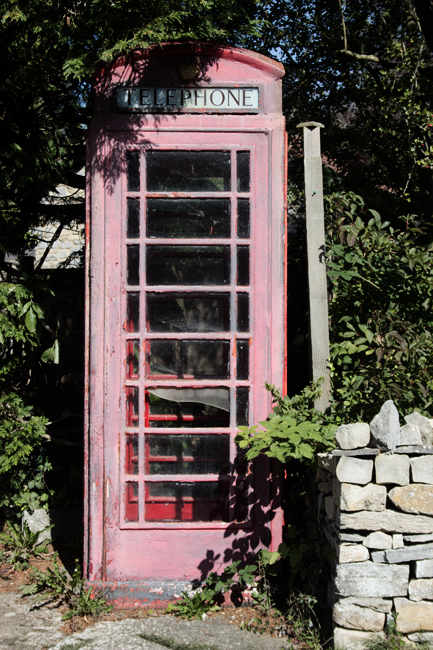
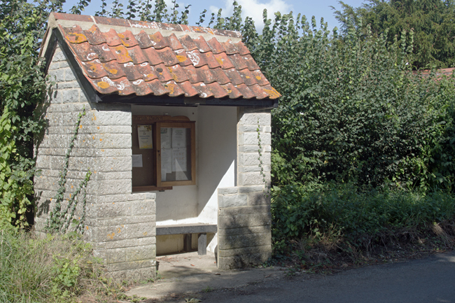
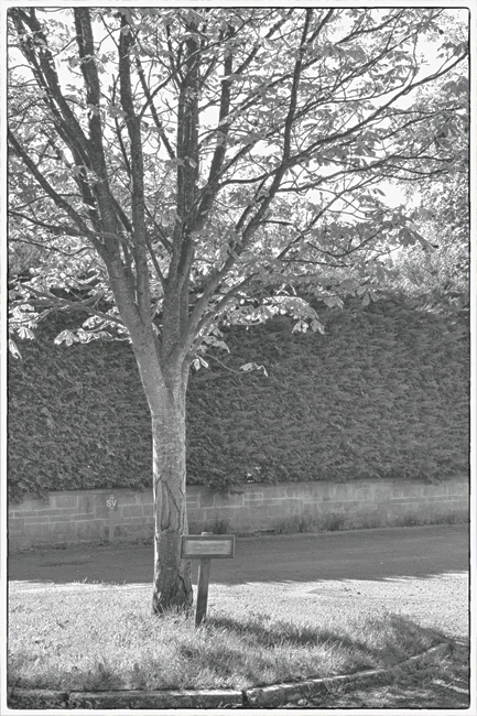
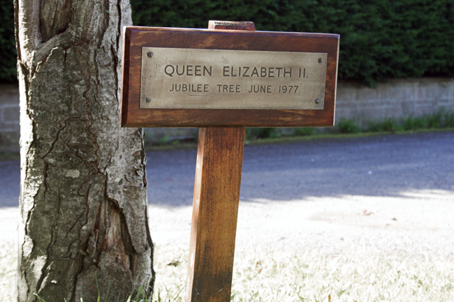
All the elements of a small community are there – a stone-built bus stop and information board, a hall with a stand for second-hand books, a sun-bleached telephone box, a tree planted to commemorate the Silver Jubilee in 1977.
But the bigger reminder of the connection between Isle Abbotts and the countryside around it is the farmland.
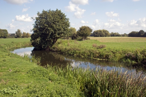
It is very easy to get right back into the countryside from the village centre, passing through farmland, you come to a bridge across the River Isle, from where a track passes to the neighbouring village of Isle Brewers.
(Smaller in population than Abbotts, Isle Brewers takes its name not from beer-making, but from the the family of William Briwere, lord of the manor in the 1200s.)
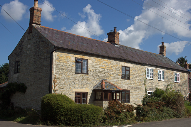
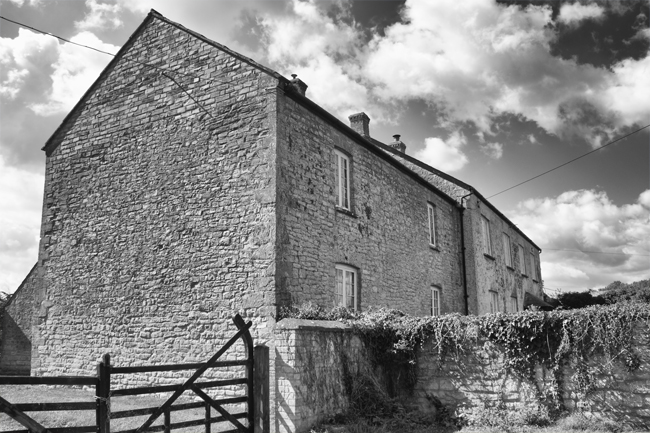
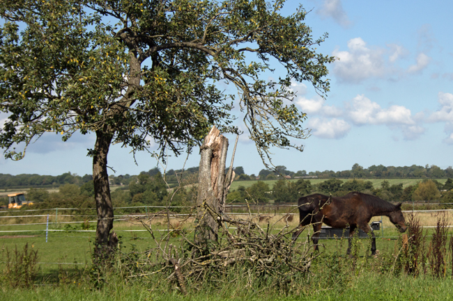
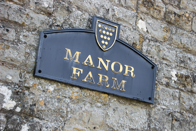
At this end of the village, the Manor Farm dominates the landscape, and you readily remember that this is what would have provided labour for the majority of the population in days gone by.
Quiet, isolated, but calm and peaceful, this is definitely a place that reminds you to get out in the sticks, get away from town and city life and enjoy the open air.
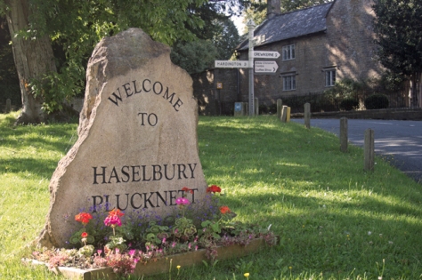
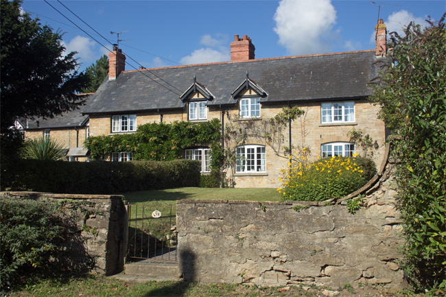
In the south of the county of Somerset, almost at the border with Dorset, lies the enchantingly named Haselbury Plucknett. Lying three miles (5km) to the east of Crewkerne, the name literally means “(Alan de) Plugenet’s hazel grove”. A somewhat busy road runs through the village, but this does not detract from its charm.
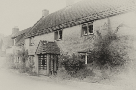
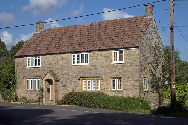
The cottages in the centre of the village are built of local stone and face the village green. They’re well-attended and give the village a real sense of community, something that was in evidence as I roamed around.
Just down from the village green are the Jared Gear Almshouses, set aside to provide safe and secure housing accommodation for people with limited financial resources who have connections with Haselbury Plucknett.
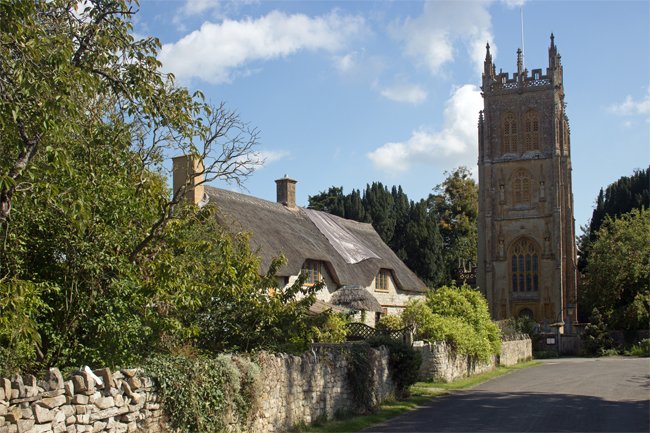
Wulfric of Haselbury was a noted resident of the village. In 1125 he moved there from Compton Martin, just south of Bristol, in pursuit of a wholly religious life. He withdrew from secular matters almost completely, living in a cell adjacent to the village church, St Michael and All Angels. Wulfric’s piety attracted notable well-wishers; King Henry I and King Stephen both sought his advice and he became well renowned not just around Somerset, but also at court. When he died in 1154, he was buried in the church.
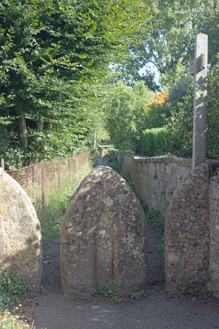
The village church lies just off from the centre and, like the village itself, is a tranquil place. There are no Commonwealth War Graves in the churchyard, but the War Memorial commemorates the twelve Haselbury souls who gave their lives on the field of battle during the Great War.
One of those remembered was Harry Shyer. He was just 20 years and 3 days old when the ship he was serving on – the HMS Good Hope – was torpedoed off the coast of Chile during the Battle of Coronel. All hands from the ship were lost, a total of 926 men.
The war memorial includes two sets of brothers: John and William Eastment and George and Harold Tout. Given the population of Haselbury Plucknett was less than 500 at 1911 census, the war must have taken an incredible toll on the village and the twenty-two losses would have been felt.
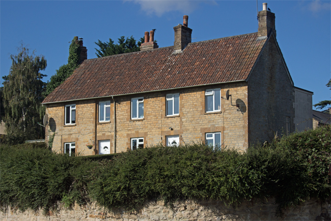
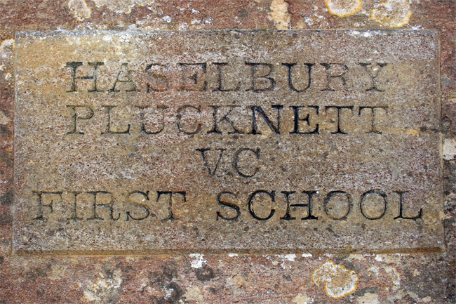
Two other key parts of the village lie within 300ft (90m) of each other; the local school and the village pub. (I make no assumptions as to their location, other than Haselbury Plucknett being a small village!)